The posts in this forum are NOT official forecast and should not be used as such. They are just the opinion of the poster and may or may not be backed by sound meteorological data. They are NOT endorsed by any professional institution or
SPECIAL WEATHER STATEMENT
NATIONAL WEATHER SERVICE CHARLESTON SC
830 AM EDT SAT NOV 1 2014
GAZ087-088-099-100-SCZ040-042>044-011500-
JENKINS-SCREVEN-CANDLER-BULLOCH-ALLENDALE-HAMPTON-INLAND COLLETON-
DORCHESTER-
830 AM EDT SAT NOV 1 2014
...A MIXTURE OF RAIN AND SLEET POSSIBLE THIS MORNING...
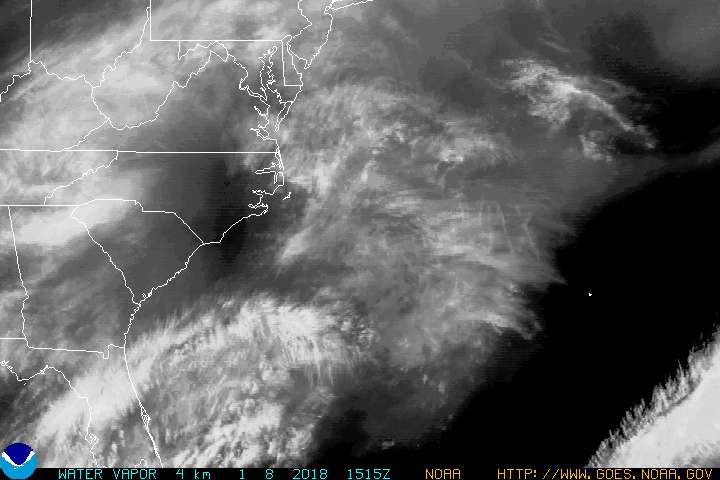
A POWERFUL STORM SYSTEM IS AFFECTING SOUTHEAST SOUTH CAROLINA AND
SOUTHEAST GEORGIA THIS MORNING. AS RAIN CONTINUES TO MOVE SOUTH
OUT OF THE SOUTH CAROLINA MIDLANDS AND TEMPERATURES FALL...RAIN
MAY OCCASIONALLY MIX WITH SLEET AT TIMES THROUGH LATE MORNING.
ALTHOUGH NO ACCUMULATIONS ARE EXPECTED AT THIS TIME...ROADWAYS
WILL BE WET AND MOTORISTS ARE URGED TO EXERCISE EXTRA CAUTION.
PRECAUTIONARY/PREPAREDNESS ACTIONS...
IF YOU OBSERVE SLEET OR OTHER WINTER WEATHER...PLEASE CONTACT THE
NATIONAL WEATHER SERVICE IN CHARLESTON AT 1-888-383-2824. YOU CAN
ALSO SEND A TWEET TO @NWSCHARLESTONSC OR SEND AN EMAIL TO
NWS.CHARLESTONSC@NOAA.GOV
I think Augusta may get some snow...so close but yet so far.