Texas Winter 2014-2015

Winter Weather Discussion

Moderator: S2k Moderators

Forum rules

The posts in this forum are NOT official forecast and should not be used as such. They are just the opinion of the poster and may or may not be backed by sound meteorological data. They are NOT endorsed by any professional institution or STORM2K.

Help Support Storm2K
Message
Author
SaskatchewanScreamer

#241 Postby SaskatchewanScreamer » Tue Nov 11, 2014 10:25 am

MY TURN TO LAUGH AT YOU FOLKS!!!! :grrr:

https://www.youtube.com/watch?v=L0MK7qz13bU

SNOW AND LOTS OF IT FOR TEXAS PLEASE MOTHER!!!!
0 likes   

User avatar
Portastorm
Storm2k Moderator
Storm2k Moderator
Posts: 9787
Age: 61
Joined: Fri Jul 11, 2003 9:16 am
Location: South Austin, TX
Contact:

Re: Texas Winter 2014-2015

#242 Postby Portastorm » Tue Nov 11, 2014 5:58 pm

Screamer, I promise you that if it snows in Austin, Texas, this winter and it snows enough to enable me to write a message ... I promise I'll write and photo record a special message for you! :)
0 likes   
Any forecasts under my name are to be taken with a grain of salt. Get your best forecasts from the National Weather Service and National Hurricane Center.

I'm a certified Advanced SKYWARN-trained spotter and am active on Twitter at @TravisCOSW, a social media partner of the NWS Austin-San Antonio office.

User avatar
ravyrn
S2K Supporter
S2K Supporter
Posts: 992
Age: 41
Joined: Sun Aug 31, 2008 5:10 am
Location: Alderbranch, TX

Re: Texas Winter 2014-2015

#243 Postby ravyrn » Tue Nov 11, 2014 8:18 pm

Portastorm wrote:Screamer, I promise you that if it snows in Austin, Texas, this winter and it snows enough to enable me to write a message ... I promise I'll write and photo record a special message for you! :)


Screencapped for any future pics or it didn't happen posts:
Image

Hope you get to deliver on this promise later on this winter, Porta!
0 likes   

SaskatchewanScreamer

Re: Texas Winter 2014-2015

#244 Postby SaskatchewanScreamer » Wed Nov 12, 2014 12:09 am

Portastorm wrote:Screamer, I promise you that if it snows in Austin, Texas, this winter and it snows enough to enable me to write a message ... I promise I'll write and photo record a special message for you! :)


I'll be holding you to that promise Portastorm! :D

ravyrn wrote:
Portastorm wrote:Screamer, I promise you that if it snows in Austin, Texas, this winter and it snows enough to enable me to write a message ... I promise I'll write and photo record a special message for you! :)


Screencapped for any future pics or it didn't happen posts:
Image

Hope you get to deliver on this promise later on this winter, Porta!


Thank you ever so much Ravryn and re delivering so do I! :D
0 likes   

User avatar
Tireman4
S2K Supporter
S2K Supporter
Posts: 5674
Age: 58
Joined: Fri Jun 30, 2006 1:08 pm
Location: Humble, Texas
Contact:

#245 Postby Tireman4 » Wed Nov 12, 2014 7:02 am

I want to see the official PWC chase vehicle, Champ the Charger out in 5 inches of snow!!!
0 likes   

User avatar
Annie Oakley
Category 5
Category 5
Posts: 1103
Joined: Tue Jul 31, 2007 12:54 pm
Location: Texas

#246 Postby Annie Oakley » Fri Nov 14, 2014 7:33 am

and here it is..........


http://www.youtube.com/watch?v=JlEcNbv1xl4

http://www.youtube.com/watch?v=OLmGuuU7MNY

http://www.youtube.com/watch?v=m3VsT6nQgx4

Didn't we all have a friend who had one of these? They hardly left the garage......too special
0 likes   

User avatar
Texas Snowman
Storm2k Moderator
Storm2k Moderator
Posts: 6029
Joined: Fri Jan 25, 2008 11:29 am
Location: Denison, Texas

#247 Postby Texas Snowman » Sun Nov 16, 2014 10:37 pm

With light snow falling across North Texas - on the night of Sunday, November 16, 2014 - here's a public information statement from Fort Worth NWS about November snow events in Dallas/Fort Worth:

PUBLIC INFORMATION STATEMENT
NATIONAL WEATHER SERVICE FORT WORTH TX
905 PM CST SUN NOV 16 2014

...NOVEMBER SNOWFALL IN HISTORIC PERSPECTIVE...

SINCE RECORDS BEGAN IN 1898...THERE HAVE ONLY BEEN 7 NOVEMBERS WITH
MEASURABLE SNOWFALL IN DALLAS/FORT WORTH. HOWEVER...TRACE AMOUNTS OF
WINTRY PRECIPITATION HAVE OCCURRED MANY TIMES. (A TRACE OF SNOWFALL
MEANS THAT FROZEN PRECIPITATION MELTED AS IT FELL OR WAS OTHERWISE
TOO SCANT TO MEASURE.)

IN 117 YEARS OF RECORDS...THERE HAVE BEEN 26 SEASONS WITH WINTRY
PRECIPITATION BEFORE THANKSGIVING...INCLUDING 2014.

THE SLEET LAST WEEK ON NOVEMBER 13 WAS THE EARLIEST OCCURRENCE OF
WINTRY PRECIPITATION IN A SEASON SINCE A TRACE OF SNOW WAS RECORDED
ON OCTOBER 29, 1993.

THE LAST TIME THERE WAS A MEASURABLE SNOWFALL IN NOVEMBER WAS
THANKSGIVING 1993 (0.3 INCHES OF SLEET AND SNOW).

OTHER EARLY-SEASON SNOWFALL STATS:

EARLIEST SNOWFALL - OCTOBER 28, 1925
EARLIEST MEASURABLE SNOWFALL - NOVEMBER 2, 1951
EARLIEST OCCURRENCE OF AT LEAST 1 INCH OF SNOW IN 24 HOURS -
4.8 INCHES ON NOVEMBER 13-14, 1976
GREATEST 24-HOUR SNOWFALL TOTAL IN NOVEMBER -
5.0 INCHES ON NOVEMBER 22, 1937

$$
0 likes   
The above post and any post by Texas Snowman is NOT an official forecast and should not be used as such. It is just the opinion of the poster and may or may not be backed by sound meteorological data. It is NOT endorsed by any professional institution including storm2k.org. For official information, please refer to NWS products.

User avatar
Annie Oakley
Category 5
Category 5
Posts: 1103
Joined: Tue Jul 31, 2007 12:54 pm
Location: Texas

#248 Postby Annie Oakley » Mon Nov 17, 2014 12:33 am

Wow! Weather setting lots of new record-breaking data in Ft.Worth Texas area.
0 likes   

User avatar
Texas Snowman
Storm2k Moderator
Storm2k Moderator
Posts: 6029
Joined: Fri Jan 25, 2008 11:29 am
Location: Denison, Texas

#249 Postby Texas Snowman » Tue Nov 25, 2014 9:16 am

Ok, less than a week to go for posts over on the "Texas Fall 2014" thread.

And then it is time to crank up this "Texas Winter Weather" thread for some great winter weather fun this season. Snow, ice, cold, big storms, falling records, all of the above. :cold: :froze: :jacket: :D

All while keeping our beloved Wxman 57's wintertime bike riding warmth to a minimum. :sled:

And threatening to break our all-time number of pages mark we set last winter.

On your mark, get set, SNOW!!!!
0 likes   
The above post and any post by Texas Snowman is NOT an official forecast and should not be used as such. It is just the opinion of the poster and may or may not be backed by sound meteorological data. It is NOT endorsed by any professional institution including storm2k.org. For official information, please refer to NWS products.

User avatar
cycloneye
Admin
Admin
Posts: 139144
Age: 67
Joined: Thu Oct 10, 2002 10:54 am
Location: San Juan, Puerto Rico

Re:

#250 Postby cycloneye » Tue Nov 25, 2014 10:26 am

Texas Snowman wrote:Ok, less than a week to go for posts over on the "Texas Fall 2014" thread.

And then it is time to crank up this "Texas Winter Weather" thread for some great winter weather fun this season. Snow, ice, cold, big storms, falling records, all of the above. :cold: :froze: :jacket: :D

All while keeping our beloved Wxman 57's wintertime bike riding warmth to a minimum. :sled:

And threatening to break our all-time number of pages mark we set last winter.

On your mark, get set, SNOW!!!!


Don't forget ENSO that will be a big help for a winter that will be a great one for those who like below average temperatures and winterstorms in that state.
0 likes   
Visit the Caribbean-Central America Weather Thread where you can find at first post web cams,radars
and observations from Caribbean basin members Click Here

User avatar
somethingfunny
ChatStaff
ChatStaff
Posts: 3926
Age: 35
Joined: Thu May 31, 2007 10:30 pm
Location: McKinney, Texas

Re: Texas Winter 2014-2015

#251 Postby somethingfunny » Tue Nov 25, 2014 10:34 am

So much for that Thanksgiving storm and cold front, but on the plus side this sort of pleasantly boring mild weather will be great for showing off to our families in from out of town during the holiday. :D.
0 likes   
I am not a meteorologist, and any posts made by me are not official forecasts or to be interpreted as being intelligent. These posts are just my opinions and are probably silly opinions.

User avatar
srainhoutx
S2K Supporter
S2K Supporter
Posts: 6919
Age: 66
Joined: Sun Jan 14, 2007 11:34 am
Location: Haywood County, NC
Contact:

Re: Texas Winter 2014-2015

#252 Postby srainhoutx » Wed Nov 26, 2014 9:36 am

The guidance continues to advertise a significant pattern change that would bring heavy precipitation across California/Oregon and Washington into the Great Basin as we start December. As Pacific moisture streams inland, a couple of shortwaves (upper air disturbances) will cross the Northern tier of the Nation as well as Canada ushering in a couple of shots of modified colder air.

Image

The longer range teleconnection indices are trending to a more favorable pattern of delivering a strong Arctic airmass S from Canada as a very strong Ridge develops along the NE Pacific into Alaska. If the longer range ensemble guidance is correct, a deep trough with carve out across the Central United States across the Inter Mountain West and Plains with embedded storms tracking across Mexico and the Southern Plains. This would favor a return to a much colder pattern across our Region around December 12th, +/- a couple of days and may bring significantly colder air that is pooling across the Arctic and our source Regions of Western Canada well S possibly into Mexico, Texas, Louisiana and Oklahoma. We will see.

Image

Image

Image
0 likes   
Carla/Alicia/Jerry(In The Eye)/Michelle/Charley/Ivan/Dennis/Katrina/Rita/Wilma/Ike/Harvey

Member: National Weather Association
Wx Infinity Forums
http://wxinfinity.com/index.php

Facebook.com/WeatherInfinity
Twitter @WeatherInfinity

ronyan
S2K Supporter
S2K Supporter
Posts: 791
Age: 37
Joined: Tue Sep 09, 2008 5:46 pm
Location: Lake Jackson, TX

Re: Texas Winter 2014-2015

#253 Postby ronyan » Wed Nov 26, 2014 3:21 pm

Nice discussion srain, that looks like a very amplified pattern developing but it is in the very long range still. I'm holding out hope for a good dump of arctic cold around mid December.

Ryan Maue was just tweeting that temps in Siberia are running -40 to -60F, it would be nice to tap into some of that cold air. :cold:
0 likes   

User avatar
srainhoutx
S2K Supporter
S2K Supporter
Posts: 6919
Age: 66
Joined: Sun Jan 14, 2007 11:34 am
Location: Haywood County, NC
Contact:

Re: Texas Winter 2014-2015

#254 Postby srainhoutx » Wed Nov 26, 2014 3:30 pm

It may not be that far off in the extended range. The 12Z Euro is showing a classic polar vortex split beginning around hour 192 and completing near hour 240. The core of the of polar vortex after the potential split would be in Central Canada near of just W of Hudson Bay and Siberia suggesting a cross polar flow becomes established. The stratospheric warming event may be doing its job and with a +PDO/-AO/+PNA regime as well as a -EPO, we could see significant changes as the guidance attempt to resolve this pattern change. Time will tell.

Image
0 likes   
Carla/Alicia/Jerry(In The Eye)/Michelle/Charley/Ivan/Dennis/Katrina/Rita/Wilma/Ike/Harvey

Member: National Weather Association
Wx Infinity Forums
http://wxinfinity.com/index.php

Facebook.com/WeatherInfinity
Twitter @WeatherInfinity

User avatar
srainhoutx
S2K Supporter
S2K Supporter
Posts: 6919
Age: 66
Joined: Sun Jan 14, 2007 11:34 am
Location: Haywood County, NC
Contact:

Re: Texas Winter 2014-2015

#255 Postby srainhoutx » Fri Nov 28, 2014 11:28 am

The global models are suggesting that the Pacific will be the dominate driver of our weather pattern across North America as December begins. There is a quick shot of cold air arriving on Monday as a 1040+ High Pressure cell drops into the Northern Plains and quickly moves E. The cold front may provide some light rain as it drops S across the Plains on Sunday into Monday. Temperatures moderate quickly with the fast zonal flow across the US and another front looks to arrive later next week that may provide a better chance for rain as the Gulf opens up and moisture returns across our Region.

The teleconnection indices continue to suggest a +PDO/+PNA/-AO regime will develop near mid December, but lacks a bit of blocking across the NE Atlantic meaning any cold weather cannot become established across the Central US. Temperatures do not look to far from normal the Pacific pattern driving the sensible weather as mid December nears.
0 likes   
Carla/Alicia/Jerry(In The Eye)/Michelle/Charley/Ivan/Dennis/Katrina/Rita/Wilma/Ike/Harvey

Member: National Weather Association
Wx Infinity Forums
http://wxinfinity.com/index.php

Facebook.com/WeatherInfinity
Twitter @WeatherInfinity

User avatar
srainhoutx
S2K Supporter
S2K Supporter
Posts: 6919
Age: 66
Joined: Sun Jan 14, 2007 11:34 am
Location: Haywood County, NC
Contact:

Re: Texas Winter 2014-2015

#256 Postby srainhoutx » Sat Nov 29, 2014 12:36 pm

As we get closer to December, the big long lasting warm up is loosing its legs. The 12Z parallel and old GFS are sniffing several shots of cold air in the medium range, but they are transient. What is intriguing is the tropical forcing developing as a WPAC Typhoon wraps up and the Aleutian low increases in strength which is very common in a +PDO regime. The PNA is still expected to turn strongly positive while the AO drops back into negative territory around the 8th to 10th of December. If an amplified MJO pulse develops and swings back into the Western Hemisphere, look for a digging trough across the Inter Mountain West once again and if the NAO becomes negative, a stout blocking regime could develop. There are a lot of moving parts across the Northern Hemisphere right now and add a SSW event into the mix, we may see a stormy and cold later half of December into January. We will see.

Image
0 likes   
Carla/Alicia/Jerry(In The Eye)/Michelle/Charley/Ivan/Dennis/Katrina/Rita/Wilma/Ike/Harvey

Member: National Weather Association
Wx Infinity Forums
http://wxinfinity.com/index.php

Facebook.com/WeatherInfinity
Twitter @WeatherInfinity

User avatar
cycloneye
Admin
Admin
Posts: 139144
Age: 67
Joined: Thu Oct 10, 2002 10:54 am
Location: San Juan, Puerto Rico

Re: Texas Winter 2014-2015

#257 Postby cycloneye » Sat Nov 29, 2014 1:28 pm

For those interested=If you want to see and get information about that area developing at WPAC and our friends Ntxw and srainhoutx are mentioning about the Typhoon connection go here
0 likes   
Visit the Caribbean-Central America Weather Thread where you can find at first post web cams,radars
and observations from Caribbean basin members Click Here

Ntxw
Storm2k Moderator
Storm2k Moderator
Posts: 21515
Joined: Wed Oct 21, 2009 6:34 pm
Location: DFW, Texas

#258 Postby Ntxw » Sat Nov 29, 2014 7:43 pm

Aleutian low and +PNA pattern as a result moving into December. One important factor to dragging cold back SW vs NW flow will be storms and disturbances from the STJ.

Image

Warming continues in the stratosphere, AO is variable now but won't be for much longer. Since calling it a stratospheric warming has been an issue, I'll just refer to it as poleward heat flux from Eurasia. AO should respond by week 2 of December.

Image
0 likes   
The above post and any post by Ntxw is NOT an official forecast and should not be used as such. It is just the opinion of the poster and may or may not be backed by sound meteorological data. It is NOT endorsed by any professional institution including Storm2k. For official information, please refer to NWS products.

  Help support Storm2K!
Help Support Storm2K

User avatar
gboudx
S2K Supporter
S2K Supporter
Posts: 4047
Joined: Thu Sep 04, 2003 1:39 pm
Location: Rockwall, Tx but from Harvey, La

#259 Postby gboudx » Sat Nov 29, 2014 9:38 pm

What's the issue calling it a SSW event? If it walks like a duck, and talks like a duck, well you know the rest.
0 likes   

Ntxw
Storm2k Moderator
Storm2k Moderator
Posts: 21515
Joined: Wed Oct 21, 2009 6:34 pm
Location: DFW, Texas

Re:

#260 Postby Ntxw » Sat Nov 29, 2014 10:13 pm

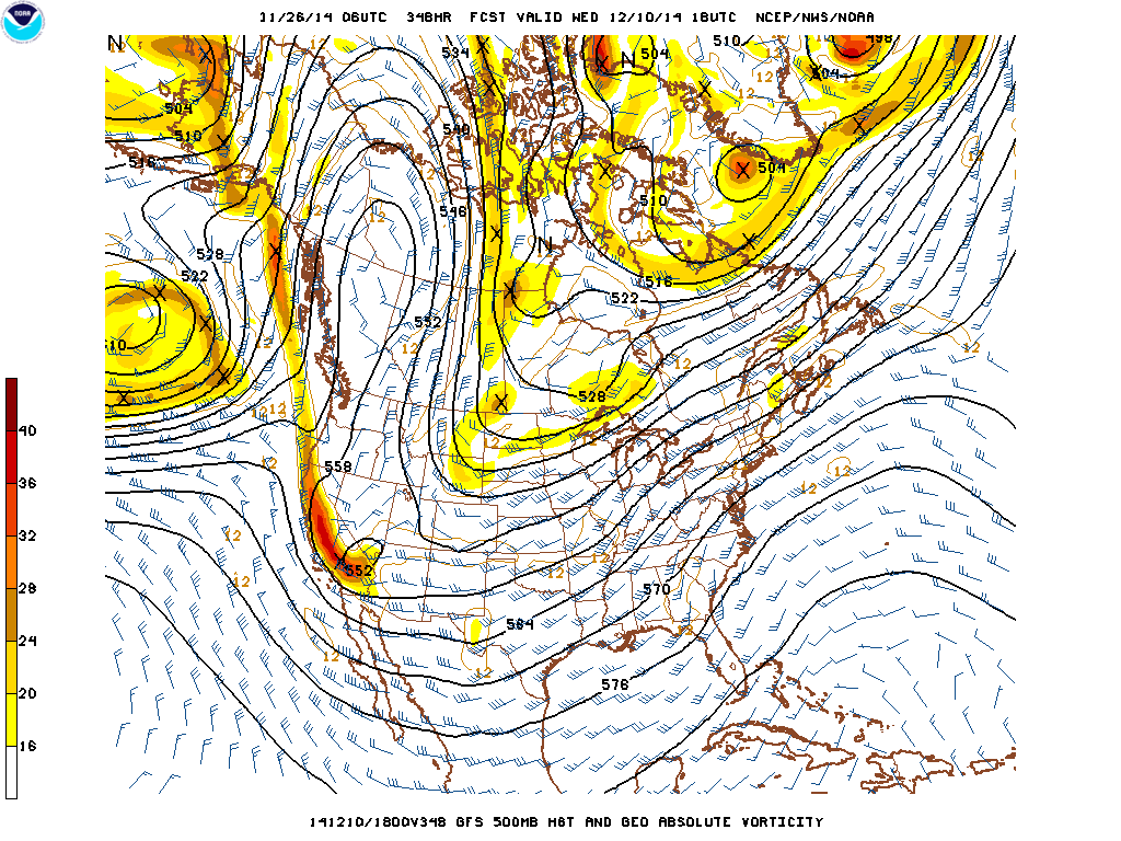
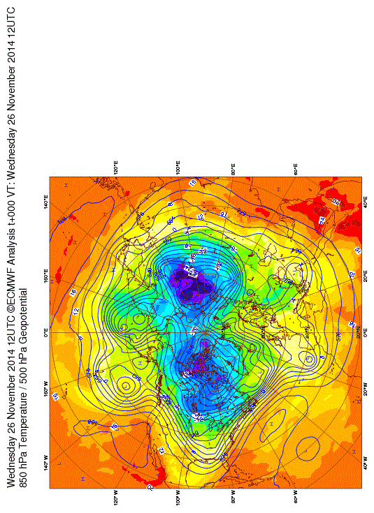
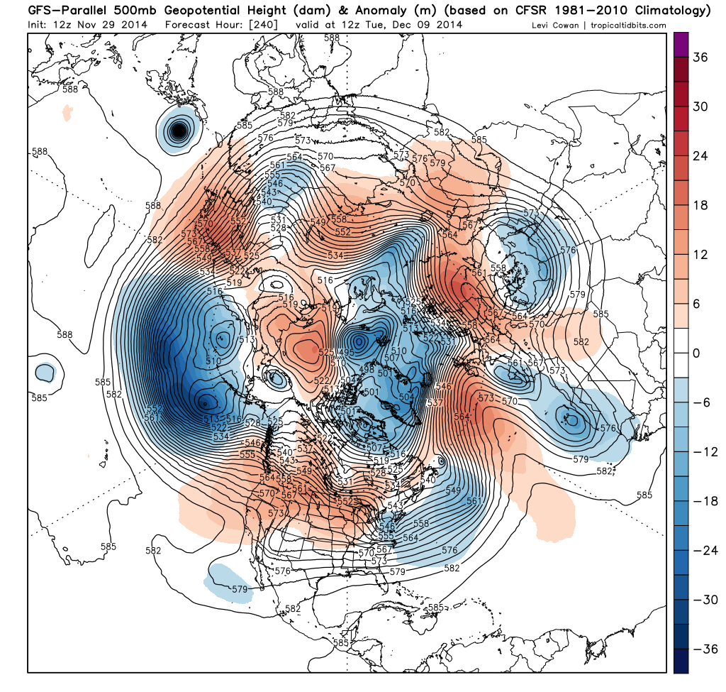
gboudx wrote:What's the issue calling it a SSW event? If it walks like a duck, and talks like a duck, well you know the rest.


It's debatable about what one truly is. This is not a major mid winter warming event, it's a tropospheric caused event (Siberian snow-cover) and correlates well with the AO. I think winter locks in second half of December. The major analog years 1976-1977-2009 locked in after the first two weeks. What could sneak in is something from the subtropical jet that are typical with El Nino winters. 500mb flow from ENS tendencies are going towards that favored ENSO state.

El Nino favors two things that are persistent regarding the Pacific being 1. The Aleutian low and 2. Positive PNA with split flow underneath.

November did exactly that. And after a period of relaxation, it's going back. The EPO has already done the job loading the cold into North America.

Image

Image
0 likes   
The above post and any post by Ntxw is NOT an official forecast and should not be used as such. It is just the opinion of the poster and may or may not be backed by sound meteorological data. It is NOT endorsed by any professional institution including Storm2k. For official information, please refer to NWS products.


  Help support Storm2K!

Help Support Storm2K


Return to “Winter Weather”

Who is online

Users browsing this forum: Google [Bot] and 119 guests