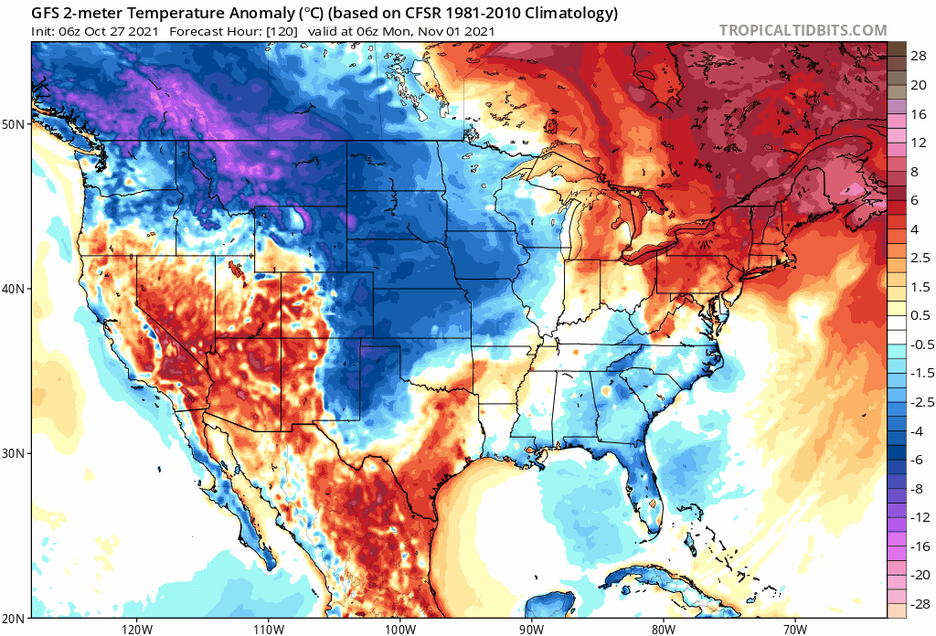
gatorcane wrote:Looks like a raw day for November standards for central and especially north Florida this weekend with well below normal temps and overcast skies particularly looking at Saturday. The brisk north wind will make it feel even colder.
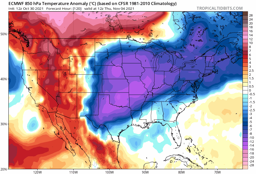
Probably overdone but look at the next front on the Euro

 https://i.postimg.cc/qRcNzNKH/ecmwf-T850-us-fh120-240.gif
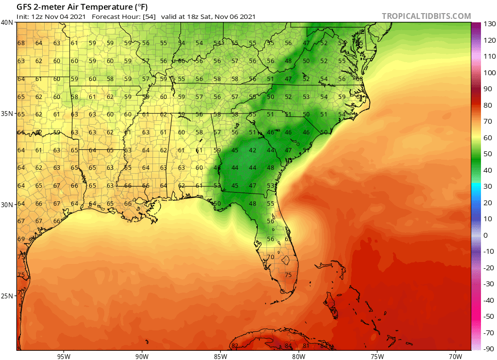
Can confirm it's wet and cold up here near JAX.
NWS JAX has us staying in the upper 40s through the mid 50s until it clears up, then it's only 65 on Sunday. Maybe back to normal temps by Friday or so.
Black Creek in Middleburg is almost at flood stage (almost a normal thing with this kind of rain and wind), other rivers and creeks are normal right now.
Depending upon the storm's track and intensity, some minor inland flooding from the St Johns basin could be in play.
000
FXUS62 KJAX 051745
AFDJAX
Area Forecast Discussion
National Weather Service Jacksonville FL
145 PM EDT Fri Nov 5 2021
.AVIATION...
[Through 18Z Saturday]
IFR conditions are expected throughout the forecast period with
MVFR ceilings expected to drop down below 1K feet as the afternoon
progresses. Winds will be primarily out of the north with speeds
reaching to about 15-20 knots with gusts of 25-35 knots, with the
highest speeds occuring for sites close to the shoreline.
Consistently rainy weather will affect the region into Saturday as
the nor`easter event runs its course.
&&
.PREV DISCUSSION [1000 AM EDT]...
.NEAR TERM [Through Tonight]...
Hazards Overview:
***Coastal Flood Warning in effect for coastal southeast Georgia,
coastal northeast Florida and the St. Johns River Basin through
Sunday. Moderate to major coastal flooding is expected with
values of 4+ ft MHHW possible along the southeast Georgia coast.
***Flood Watch in effect for coastal northeast Florida and eastern
Putnam Counties this morning through Saturday afternoon.
Widespread 4 to 8 inches of rain with isolated higher amounts
possible.
***Coastal Flood Advisory in effect for South Central Duval, Trout
River, Western Duval, Inland Glynn and Inland Camden Counties
through Sunday for minor coastal flooding.
***Gale Warning for southeast Georgia waters and St. Augustine
northward this afternoon through Saturday night. Northeasterly
winds will increase to 30-40 knots with gusts up to 50 knots.
Seas will build to 11 to 16 feet.
***High Surf Advisory for northeast Florida and southeast Georgia
beaches late this afternoon through Saturday night for breaking
waves of 7 to 10 feet.
***Wind Advisory for coastal southeast Georgia and coastal northeast
Florida except Flagler County this morning through Saturday
afternoon for winds of 25 to 30 mph with gusts to 45 mph.
***High Risk of Rip Currents for southeast Georgia and northeast
Florida beaches through the weekend.
Today and Tonight:
An area of low pressure was developing over the south central Gulf
of Mexico along a frontal boundary that stretched eastward across
south central Florida early this morning. Surface low pressure
will deepen and reach central Florida this evening, move across
north central Florida overnight tonight, and be in the eastern
Atlantic to the east of northeast Florida by Saturday morning
while deepening to just above 1000 mb on Saturday. This will lead
to a rare nor`easter for the region. Light to moderate rain was
overrunning the front across portions of northeast Florida. The
rain will continue to increase in coverage and intensity after
daybreak this morning, especially across Flagler, St. Johns and
eastern Putnam Counties. The heavy rain and embedded storms will
then drift up the east coast this afternoon and tonight. WPC
upgraded coastal northeast Florida to Slight Risk of Excessive
Rainfall for today and tonight, and extended the Flood Watch to
encompass all of coastal northeast Florida. There is strong model
support for the QPF maximum to occur across coastal northeast
Florida in association with the developing area of low pressure,
with the most likely area seeing that maximum in the vicinity of
St. Augustine. 24-hr HREF probabilities of 8 inch exceedance are
around 50%, which is impressive, and 3-hr exceedance probabilities
of 3 inches are also as high as 60%. Therefore, widespread 4-8
inches of rain are expected in the Flood Watch area, with isolated
higher amounts possible. In addition to the flooding rainfall
threat, tidal flooding will create drainage issues, and will
exacerbate flooding in some areas. Another area of heavy rainfall
is possible across the Suwannee Valley to the north and northwest
of the area of low pressure, where widespread 3 to 4 inches of
rainfall is expected, with locally higher amounts. Elsewhere,
widespread storm total rainfall amounts of 1 to 3 inches is
expected.
Breezy conditions were already occurring at the beaches early this
morning, with gusts of 25-30 mph. The pressure gradient will
increase between the frontal boundary and high pressure to the
north of the area today, with winds along the coast increasing to
20-30 mph with gusts up to 45 mph this afternoon and continuing
through at least Saturday morning. Sustained gale force winds are
expected over the southeast Georgia marine areas and off the coast
of Nassau and Duval Counties tonight, and northeasterly winds at
the beaches could increase to as high as 35 mph with isolated
gusts to 50 mph not out of the question.
Cloud cover and rainfall will lead to well below normal
temperatures across southeast Georgia and interior northeast
Florida, with highs in the mid to upper 50s. Elsewhere, highs will
be in the 60s to near 70 degrees due to the onshore flow.
Overnight lows will be in the mid 40s across interior southeast
Georgia and the Suwannee Valley, and the 50s elsewhere.
.SHORT TERM [Saturday Through Sunday]...
Saturday, the surface low should be just offshore over the NE FL
coastal waters and lift slowly away from the area ENE into the
western Atlantic waters. Rain showers will continue due to lift
maximized underneath the mid/upper shortwave trough axis that will
move west to east over northern FL and then pivot eastward with
showers diminishing in the wake of this feature. Additional heavy
rain amounts will be possible over much of the area along and
north of a line from Gainesville to St Augustine before activity
tapers off west to east late Saturday afternoon and evening as
deep NNW flow develops. Gusty NNW winds will continue along the
coast overnight into Sunday morning and gradually subside by
Sunday afternoon.
Our temperatures will trend below normal across the entire area
during the period Saturday with highs only in the mid 50s over
SE GA and the suwannee valley of NE FL to 60s for coastal NE FL
and north central FL areas due to strong wrap around northerly
flow from the low to the east and the cooler airmass from high
pressure wedging down the eastern seabord. Sunday`s highs will
improve some as sunshine returns with readings in the mid 60s
for most locations. Minimum temperatures will be much cooler
Sunday morning with lows in the 40s inland to low 50s at the
NE FL coast with wind chills in the upper 30s near the Altamaha
River basin.
.LONG TERM [Monday Through Friday]...
This period will begin with dry weather and weakening winds with
a warming trend in temperatures as surface high pressure builds
eastward from the western Gulf Coast region Sunday to over the
local forecast area by mid-week underneath zonal flow aloft as
the mid/upper level ridging over the eastern U.S. moves off the
east coast on Wednesday. A southern stream trough will approach
from the west on Thursday with return flow around high pressure
as it moves NE of the region into the Atlantic waters with light
easterly winds a few showers possible as moisture slowly increases
back over the area. Highs will be moderating into the low 70s
Monday to near seasonal values in the mid to upper 70s through
midweek and the upper 70s to near 80 by late week. Below normal
lows will continue inland due to the dry low level airmass, ranging
in the 40s inland to the 50s at the coast through Wednesday morning
and near normal lows in the 50s inland and near 60 degrees at the NE
FL coast on Thursday morning.
.MARINE...
An area of low pressure forming in the southern Gulf of Mexico
will continue to intensify as it approaches the Florida peninsula
west coast tonight through Saturday morning. A Small Craft
Advisory continues for all waters this morning, with a Gale
Warning from St. Augustine northward this afternoon through much
of the weekend. A Gale Watch is in effect south of St. Augustine
Saturday afternoon through early Sunday morning after the area of
low pressure moves off to the east of the waters. As the low
approaches, strong north to northeast winds will increase through
Saturday, with sustained gale force winds of 35-40 knots with
gusts up to 50 knots. Seas will build to as high as 15 to 17 feet
over the offshore waters on Saturday. The low will track northeast
away from the local waters Saturday night into Sunday with
lingering elevated seas but weakening winds. Surface high pressure
will build from the western Gulf Coast Sunday to over the local
waters through Monday as winds gradually decrease but elevated
seas linger.
Rip Currents/High Surf: High risk of rip currents through Sunday.
The combination of rough surf, erosion and tidal flooding will
make for hazardous beach conditions through the weekend. A high
surf advisory is in effect for the northeast Florida beaches for
breakers of 7-10 ft late this afternoon through Saturday night.
.HYDROLOGY...
Coastal/Tidal Flooding: Action to Minor tidal flooding was
observed this morning along the local Atlantic coast and within
inland estuaries including the St. Johns River basin due to high
astronomical tides and persistent onshore flow.
As low pressure approaches the western FL peninsula today,
strengthening onshore flow along the local coast will bring at
least moderate tidal flooding to coastal locations and minor to
moderate tidal flooding to inland estuaries tonight into Saturday
as the low crosses the peninsula and further strengthens offshore
of the local coast. Continued the Coastal Flood Warning for the
coast and St. Johns River basin, with a Coastal Flood Advisory for
Inland Glynn, Camden, Nassau and Western Duval County. The latest
guidance indicates an even stronger storm closer to the local
coast, with the latest PETSS guidance advertised peak storm tide
of 3-4 ft for coastal areas and 1-3 ft for inland estuaries
including the St. Johns River basin. The more prone locations for
St. Johns basin flooding include downtown JAX near South Hampton
also the southern tier of the river south of State Road 16
including Dunns Creek, Satsuma, Welaka where northerly winds
combined elevated water levels will create higher storm tide
values and more wave stress action. This event will bring
significant beach erosion to many areas, especially where dune
structure is weak and strong wave action will cause some property
damage.
Coastal water levels will lesson Saturday night as the surface
low tracks NE away from the region and offshore flow develops,
however, elevated tides will remain trapped in the St. Johns River
basin through early next week, sloshing (seiche effect) north to
south within the river basin with high tides as the amplitude of
the crest gradually dampens. In addition, large swells from the
storm system will continue through at least Monday which could
continue beachfront erosion issues.
Rainfall Outlook: The higher rainfall amounts will be confined to
coastal areas where bands of heavy rainfall will stream onshore
and have the potential to train especially along the NE FL
Atlantic coast this afternoon through Saturday morning. Latest
forecast has increased rainfall totals to 4-8 inches for St.
Johns, Flagler and Putnam counties through Saturday and 3-5 inches
for coastal Duval and coastal Nassau Counties. 2-4 inches of rain
is also expected across the Suwannee River Basin. Issued a Flood
Watch beginning at 2 pm this afternoon for portions of Duval and
coastal Nassau Counties. The Flood Watch will begin at 8 am for
the rest of the Flood Watch area.