Tornado pictures

U.S. & Caribbean Weather Discussions and Severe Weather Events

Moderator: S2k Moderators

Forum rules

The posts in this forum are NOT official forecast and should not be used as such. They are just the opinion of the poster and may or may not be backed by sound meteorological data. They are NOT endorsed by any professional institution or STORM2K.

Help Support Storm2K
Message
Author
Cyclone1
Category 5
Category 5
Posts: 2739
Age: 32
Joined: Tue Jun 12, 2007 12:03 pm
Location: Florida

#21 Postby Cyclone1 » Fri Jun 27, 2008 1:05 pm

Image
Kyle, SD, 6/6/07
0 likes   

User avatar
vbhoutex
Storm2k Executive
Storm2k Executive
Posts: 28972
Age: 72
Joined: Wed Oct 09, 2002 11:31 pm
Location: Spring Branch area, Houston, TX
Contact:

Re: Tornado pictures

#22 Postby vbhoutex » Fri Jun 27, 2008 9:40 pm

dizzyfish wrote::uarrow: Yikes at the double.

That would undoubtedly scare me to death!


I think that would most likely do me in if I saw it coming at me, either from fright or from the pure meteorological excitement it would cause!!!

Some great pics people!!!
0 likes   

User avatar
Bunkertor
Category 5
Category 5
Posts: 3386
Joined: Tue May 09, 2006 3:48 pm

#23 Postby Bunkertor » Sat Jun 28, 2008 2:53 pm

I´m not that skilled in Copyright stuff, so here is a youtube of one of the rare destructing Tornados in germany.

http://de.youtube.com/watch?v=43j4qkQOm ... re=related
0 likes   

User avatar
KWT
Category 5
Category 5
Posts: 31390
Joined: Tue Aug 17, 2004 11:02 am
Location: UK!!!

#24 Postby KWT » Sat Jun 28, 2008 2:59 pm

Yep the two giant tornadoes next to each other is very impressive!

Here is a video montage of the birmingham 2005 tornado, one of the stronger tornadoes of recent years in the UK:

http://www.youtube.com/watch?v=_dxtQYnfo5c

Rated T4, which is F2.
0 likes   

Cyclone1
Category 5
Category 5
Posts: 2739
Age: 32
Joined: Tue Jun 12, 2007 12:03 pm
Location: Florida

#25 Postby Cyclone1 » Wed Jul 02, 2008 5:02 pm

Image
0 likes   

User avatar
Bunkertor
Category 5
Category 5
Posts: 3386
Joined: Tue May 09, 2006 3:48 pm

Poor hawks

#26 Postby Bunkertor » Wed Jul 02, 2008 6:37 pm

Our feathered friends can´t sleep because of severe weather.

http://www.turmfalke.ch/live_cam.htm

( download 3MB per minute )
0 likes   

User avatar
wxmann_91
Category 5
Category 5
Posts: 8013
Age: 32
Joined: Fri Jul 15, 2005 2:49 pm
Location: Southern California
Contact:

#27 Postby wxmann_91 » Fri Jul 04, 2008 12:15 pm

0 likes   

User avatar
remy
Tropical Low
Tropical Low
Posts: 19
Joined: Fri Jun 30, 2006 12:29 pm
Location: Toulouse-Blagnac France
Contact:

Re: Tornado pictures

#28 Postby remy » Sun Jul 27, 2008 7:45 am

The monster F4/T9 Moscow tornado of the 29 june 1904

Image

:D
0 likes   

Shockwave
Tropical Storm
Tropical Storm
Posts: 167
Joined: Fri Jul 25, 2008 7:33 am
Location: Lafayette, TN
Contact:

Re: Tornado pictures

#29 Postby Shockwave » Sun Jul 27, 2008 12:37 pm

I have a photo of the "possible" tornado that occured here on Feb. 5th. I also have a picture of the Gas Pipeline fire from my front porch too. Is it possible to copy pictures onto the computer, so I can show you the possible Lafayette twister? And can I also post the pipeline fire here too, or where can I post that pic at?
0 likes   

User avatar
Calasanjy
Tropical Storm
Tropical Storm
Posts: 135
Age: 38
Joined: Thu Apr 06, 2006 3:16 pm
Location: PA

Re: Tornado pictures

#30 Postby Calasanjy » Sun Jul 27, 2008 10:29 pm

Whoa Remy, that Moscow T9 wedge tornado looks wicked. 104 years ago huh? How much carnage did it produce?
0 likes   

User avatar
vacanechaser
Category 5
Category 5
Posts: 1461
Joined: Wed Dec 03, 2003 9:34 pm
Location: Portsmouth, Va
Contact:

Re: Tornado pictures

#31 Postby vacanechaser » Mon Jul 28, 2008 5:19 am

a few of my own tornado shots...


Image

harper county kansas-2004

Image

another in harper county kansas- 2004


Image

vernon texas- 2002

Image

video frame grab of the suffolk virginia tornado- 2008


Jesse V. Bass III
http://www.vastormphoto.com
Hurricane Intercept Research Team
0 likes   

Cyclone1
Category 5
Category 5
Posts: 2739
Age: 32
Joined: Tue Jun 12, 2007 12:03 pm
Location: Florida

#32 Postby Cyclone1 » Mon Jul 28, 2008 3:28 pm

Wow, awesome Jesse!

Thanks for not letting this thread die, folks.
0 likes   

Shockwave
Tropical Storm
Tropical Storm
Posts: 167
Joined: Fri Jul 25, 2008 7:33 am
Location: Lafayette, TN
Contact:

Re: Tornado pictures

#33 Postby Shockwave » Mon Jul 28, 2008 3:44 pm

I agree, nice photos Jess. PM me when you get a chance. I have something I'd like to tell you about.
0 likes   

AyameTaylor
Tropical Wave
Tropical Wave
Posts: 3
Joined: Tue Jun 08, 2010 10:23 am

Re: Tornado pictures

#34 Postby AyameTaylor » Tue Jun 08, 2010 10:35 am

Hey
I am new to the site, and found it quite by accident, i love All of the pictures and videos on this thread thus far, and I was hoping to entertain some of you all by posting some videos I found on Youtube.... They are freaky. (AT least I think so..... oTL)

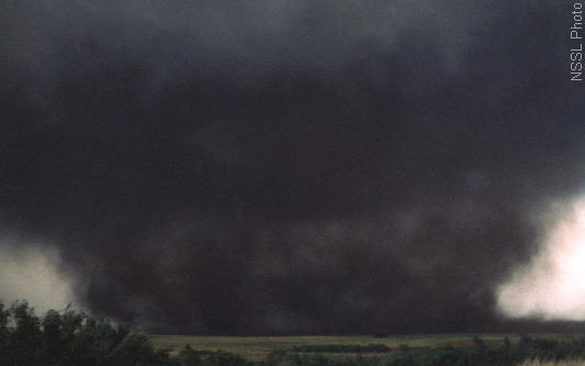
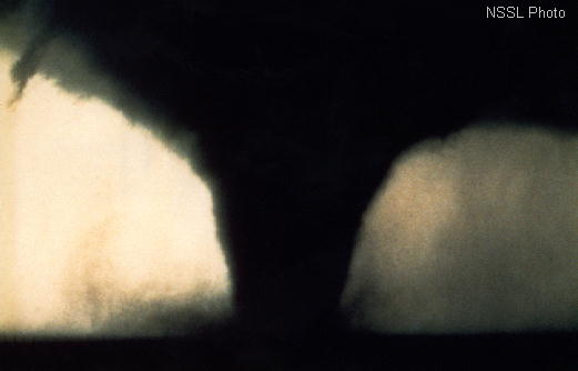
One is security camera footage from inside a bank as it's struck by a tornado, the other is a car lot camera picking up a tornado blowing threw. Beautiful but deadly is mother nature, especially so when she is mad.

http://www.youtube.com/watch?v=akUX58MFAQM&NR=1 <<< Embedding disabled but still a cool video if you don't mind having to click a link ^-^

[youtube]http://www.youtube.com/watch?v=clFCtNN3GBM[/youtube]

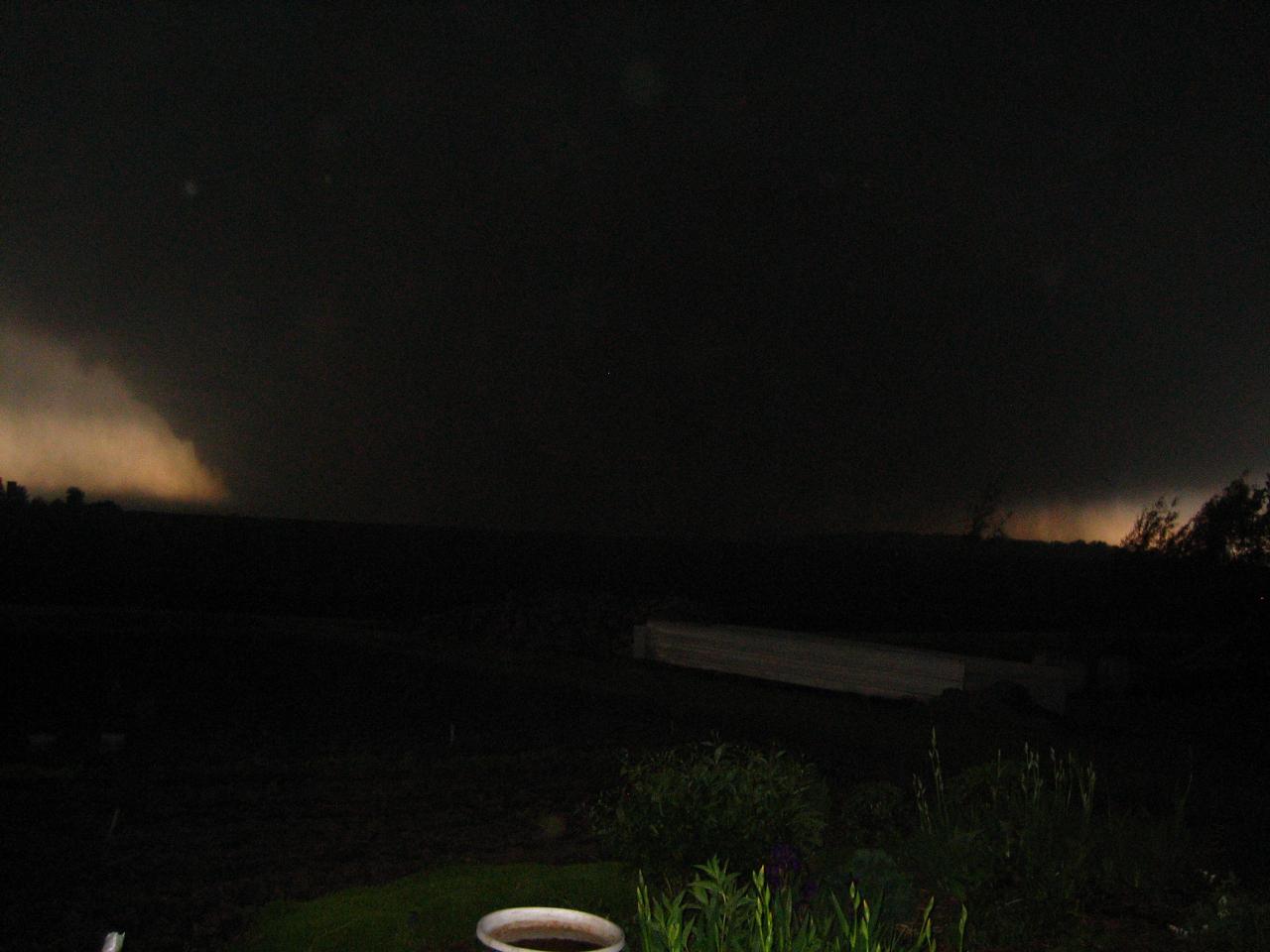
this one is of the july 29th 2005 birmingham Tornado

[youtube]http://www.youtube.com/watch?v=_dxtQYnfo5c[/youtube]

~ENJOY~
0 likes   

User avatar
Bunkertor
Category 5
Category 5
Posts: 3386
Joined: Tue May 09, 2006 3:48 pm

#35 Postby Bunkertor » Tue Jun 08, 2010 3:55 pm

Thanks for the parking lot clip. I wanted to store it when it was posted back then, and now i can.
0 likes   

User avatar
vbhoutex
Storm2k Executive
Storm2k Executive
Posts: 28972
Age: 72
Joined: Wed Oct 09, 2002 11:31 pm
Location: Spring Branch area, Houston, TX
Contact:

Re: Tornado pictures

#36 Postby vbhoutex » Tue Jun 08, 2010 6:51 pm

Category 5 wrote:Parkersburg

Image

IIRC, Parkersburg was completely destroyed and has not been rebuilt.
0 likes   
Skywarn, C.E.R.T.
Please click below to donate to STORM2K to help with the expenses of keeping the site going:
Image

User avatar
Texas Snowman
Storm2k Moderator
Storm2k Moderator
Posts: 6011
Joined: Fri Jan 25, 2008 11:29 am
Location: Denison, Texas

Re: Tornado pictures

#37 Postby Texas Snowman » Tue Jun 08, 2010 9:49 pm

Image

Topeka, KS F5 tornado on June 8, 1966 (44 years ago today).

WIBW TV news man Bill Curtis said on the air "For God's Sake, Take Cover!!!"

From the Topeka NWS site: "The Topeka Tornado, which struck around 7pm on a mild but muggy evening, claimed 16 lives and injured over 500 people. This F5 tornado was a half mile wide at times, and had a path of about 22 miles through the heart of the city. With a forward northeast speed of about 30 mph, the tornado moved from its birth in extreme southwest Shawnee county, near Auburn, across the city, to it's conclusion east of Billard Airport in around 30 minutes."
0 likes   
The above post and any post by Texas Snowman is NOT an official forecast and should not be used as such. It is just the opinion of the poster and may or may not be backed by sound meteorological data. It is NOT endorsed by any professional institution including storm2k.org. For official information, please refer to NWS products.

User avatar
Texas Snowman
Storm2k Moderator
Storm2k Moderator
Posts: 6011
Joined: Fri Jan 25, 2008 11:29 am
Location: Denison, Texas

Re: Tornado pictures

#38 Postby Texas Snowman » Tue Jun 08, 2010 9:54 pm

Not a photo but a graphic that shows why I don't live in Oklahoma City! :)

Image

From Norman NWS: "Tracks of all recorded tornadoes occurring wholly or partly within the immediate Oklahoma City, Oklahoma area, 1890-2008. County boundaries and major highways are shown. The immediate Oklahoma City area, and townships within it, are indicated with yellow and light orange colors. Short-track tornadoes (path lengths less than 1 mile) are shown by triangles. Dotted tracks indicate portions where either damage was intermittent or the tornado was reported as aloft. Arrows indicate that the damage track extended farther than shown. Note that tornadoes that occurred entirely outside the immediate Oklahoma City area (yellow- and light orange-colored areas) are not shown."
0 likes   
The above post and any post by Texas Snowman is NOT an official forecast and should not be used as such. It is just the opinion of the poster and may or may not be backed by sound meteorological data. It is NOT endorsed by any professional institution including storm2k.org. For official information, please refer to NWS products.

User avatar
Texas Snowman
Storm2k Moderator
Storm2k Moderator
Posts: 6011
Joined: Fri Jan 25, 2008 11:29 am
Location: Denison, Texas

Re: Tornado pictures

#39 Postby Texas Snowman » Tue Jun 08, 2010 9:57 pm

Binger, Okla. tornado on May 22, 1981. Almost a mile wide...

Image
0 likes   
The above post and any post by Texas Snowman is NOT an official forecast and should not be used as such. It is just the opinion of the poster and may or may not be backed by sound meteorological data. It is NOT endorsed by any professional institution including storm2k.org. For official information, please refer to NWS products.

User avatar
Texas Snowman
Storm2k Moderator
Storm2k Moderator
Posts: 6011
Joined: Fri Jan 25, 2008 11:29 am
Location: Denison, Texas

Re: Tornado pictures

#40 Postby Texas Snowman » Tue Jun 08, 2010 9:58 pm

This Seymour, Texas F2 was about an hour before the infamous Wichita Falls F4 tornado on April 10, 1979.

Image
0 likes   
The above post and any post by Texas Snowman is NOT an official forecast and should not be used as such. It is just the opinion of the poster and may or may not be backed by sound meteorological data. It is NOT endorsed by any professional institution including storm2k.org. For official information, please refer to NWS products.


Return to “USA & Caribbean Weather”

Who is online

Users browsing this forum: bubba hotep, Google Adsense [Bot] and 58 guests