Multi-Day Severe Weather Event(s); 3-27, 28, 29, ?
Moderator: S2k Moderators
Forum rules

The posts in this forum are NOT official forecast and should not be used as such. They are just the opinion of the poster and may or may not be backed by sound meteorological data. They are NOT endorsed by any professional institution or STORM2K.
-
WeatherGuesser
- Category 5

- Posts: 2672
- Joined: Tue Jun 29, 2010 6:46 am
Multi-Day Severe Weather Event(s); 3-27, 28, 29, ?
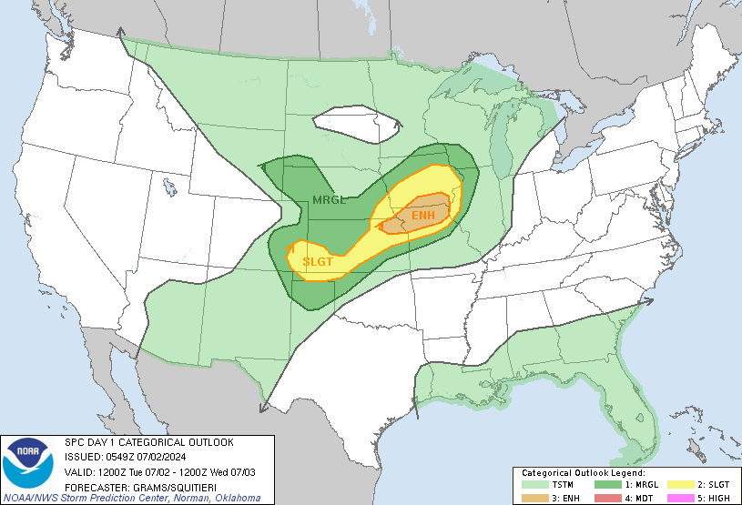
As of this morning, SPC has Enhanced Risk areas up for the next three days across the central southern states for what appears to be more than one storm system. Day 4 (March 30) shows a large 15% area, but a risk level is not assigned yet.
0 likes

-
WeatherGuesser
- Category 5
- Posts: 2672
- Joined: Tue Jun 29, 2010 6:46 am
-
cycloneye

- Admin

- Posts: 139010
- Age: 67
- Joined: Thu Oct 10, 2002 10:54 am
- Location: San Juan, Puerto Rico
Re: Multi-Day Severe Weather Event(s); 3-27, 28, 29, ?
Bob Henson of WU made a discussion about the upcoming event.
Very large hail was a continuing threat on Monday afternoon, as the pocket of very cold air aloft migrated into the mid-Mississippi Valley. In its outlook issued at 11:30 am CDT Monday (see Figure 2), SPC was highlighting far western TN and northern MS with a risk for significant large hail (2” or more diameter). A preexisting cluster of thunderstorms moving through northeast AR at midday Monday was expected to segue into new supercells toward the southeast. A solid swath of low-level moisture evident in the 12Z Monday sounding from Jackson, TN, will be moving into the area by afternoon, enhancing the severe threat. Late Monday, high winds may become more of a concern as the supercells morph into one or more squall lines further east toward Nashville, TN, and Huntsville, AL. As with Sunday, the tornado threat appears fairly low on Monday afternoon.
The U.S. pattern will recharge on Tuesday as another compact but strong upper-level low swings into the Southern Rockies. Deep low-level moisture will surge into Texas ahead of the upper low, with dew points of 60°F to 70°F likely to be widespread by Tuesday afternoon. Severe thunderstorms may form along a warm front expected to lie near the Red River of west TX/OK, as well as along a dry line in the South Plains of TX. The greatest likelihood of tornadoes will likely be near the intersection of the dry line and warm front (the “triple point”), but upper-level wind shear and instability could be more than adequate for tornadic supercells along either boundary.
Another round of intense storms appears likely on Wednesday from eastern OK and TX into parts of AR and LA, especially if the remnant activity from Tuesday night doesn’t interfere. It’s unclear if low-level wind shear will be as strong on Wednesday as on Tuesday, but conditions still appear ripe for widespread storms dumping heavy rain, hail, and high wind, as well as the possibility of embedded tornadoes.
More severe weather could erupt on Thursday, especially in and near Mississippi, and on Friday as far east as the Carolinas, as the upper low translates across the eastern U.S. Meanwhile, yet another upper low will be diving into the southwest U.S., poised to trigger the next multi-day round of severe storms. This one may begin on Saturday across western TX if moisture returns in time. A better bet for severe weather in TX/OK/LA may be on Sunday, with the upper low expected to stall out as unstable air continues streaming north from the Gulf of Mexico. Patterns like this sometimes evolve into more of a heavy-rain threat than a tornado-favorable setup, but there is still ample time to see how this one evolves.
https://www.wunderground.com/blog/JeffM ... rynum=3589
0 likes
Visit the Caribbean-Central America Weather Thread where you can find at first post web cams,radars
and observations from Caribbean basin members Click Here
and observations from Caribbean basin members Click Here
-
cycloneye
- Admin
- Posts: 139010
- Age: 67
- Joined: Thu Oct 10, 2002 10:54 am
- Location: San Juan, Puerto Rico
Re: Multi-Day Severe Weather Event(s); 3-27, 28, 29, ?
0 likes
Visit the Caribbean-Central America Weather Thread where you can find at first post web cams,radars
and observations from Caribbean basin members Click Here
and observations from Caribbean basin members Click Here
Re: Multi-Day Severe Weather Event(s); 3-27, 28, 29, ?
There is a moderate risk on Thursday for Dixie Alley. http://www.spc.noaa.gov/products/outlook/day2otlk.html
0 likes
-
WeatherGuesser
- Category 5
- Posts: 2672
- Joined: Tue Jun 29, 2010 6:46 am
Re: Multi-Day Severe Weather Event(s); 3-27, 28, 29, ?
I'm actually pretty worried about this setup 
0 likes

Re: Multi-Day Severe Weather Event(s); 3-27, 28, 29, ?
School closings
The following schools are closed Thursday for inclement weather:
.
.
.
http://fox17.com/news/local/code-red-ti ... s-thursday
The following schools are closed Thursday for inclement weather:
.
.
.
http://fox17.com/news/local/code-red-ti ... s-thursday
0 likes
-
WeatherGuesser
- Category 5
- Posts: 2672
- Joined: Tue Jun 29, 2010 6:46 am