Page 17 of 77
Re: Texas Summer 2018
Posted: Sun Jun 17, 2018 3:40 pm
by Cpv17
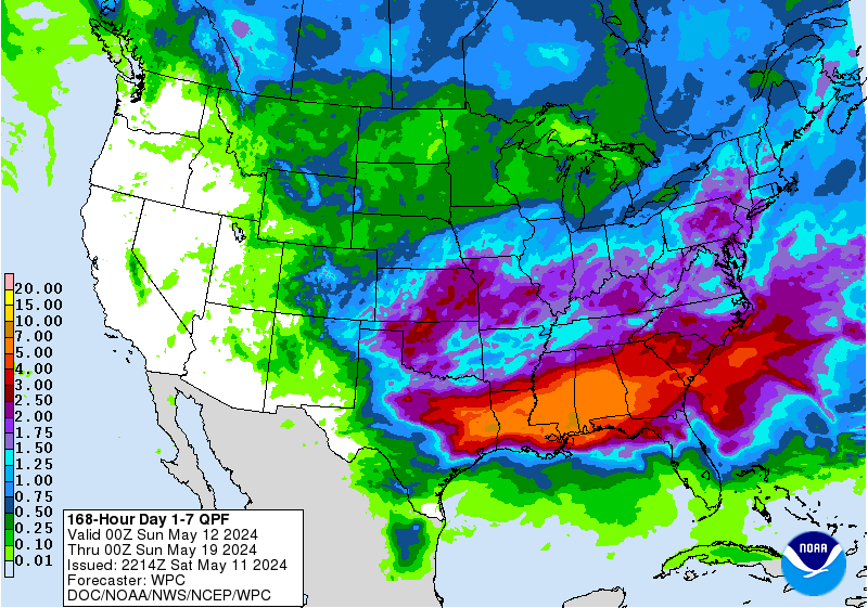
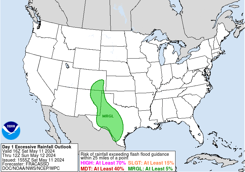
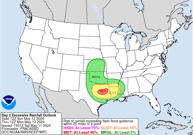
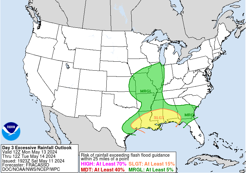
Highest rainfall totals are more north now to just north of Corpus Christi to just south of Matagorda.

Re: Texas Summer 2018
Posted: Sun Jun 17, 2018 3:56 pm
by jaguars_22
They keep switching this rainfall map.. here in Victoria it has sprinkled maybe once... I don’t know who to believe

we’ll see if it verifies
Re: Texas Summer 2018
Posted: Sun Jun 17, 2018 3:58 pm
by Brent
Already a brief light shower here
Re: Texas Summer 2018
Posted: Sun Jun 17, 2018 5:44 pm
by bubba hotep
First, of hopefully, many rounds of showers and storms this week moving in to DFW.

Re: Texas Summer 2018
Posted: Sun Jun 17, 2018 7:07 pm
by DonWrk
They vanished rather quickly

Re: Texas Summer 2018
Posted: Sun Jun 17, 2018 8:04 pm
by bubba hotep

Yep, all we got was a brief shower and a brief but very large rainbow.
Re: Texas Summer 2018
Posted: Sun Jun 17, 2018 8:22 pm
by TeamPlayersBlue
Watching the relative humidity between 700-400mb chart. Moisture in this layer really helps those storms kick off.
Re: Texas Summer 2018
Posted: Mon Jun 18, 2018 1:35 am
by Brent
I don't think I've ever seen the models so inconsistent with a rain event lol
Euro back to a half inch towards an inch in DFW mostly on Wednesday
GFS has barely any rain til Thursday Night then a quick half inch before the heat returns
The news I watched had under a half inch for most of the metro
Re: Texas Summer 2018
Posted: Mon Jun 18, 2018 1:37 am
by Haris
Brent wrote:I don't think I've ever seen the models so inconsistent with a rain event lol
Euro back to a half inch towards an inch in DFW mostly on Wednesday
The news I watched had under a half inch for most of the metro
Yall are on the EXTREME edge and the high pressure is nudging in. Central S and E TX rain maker
Re: Texas Summer 2018
Posted: Mon Jun 18, 2018 1:40 am
by Brent
Haris wrote:Brent wrote:I don't think I've ever seen the models so inconsistent with a rain event lol
Euro back to a half inch towards an inch in DFW mostly on Wednesday
The news I watched had under a half inch for most of the metro
Yall are on the EXTREME edge and the high pressure is nudging in. Central S and E TX rain maker
sharp gradient around Austin on the Euro
Re: Texas Summer 2018
Posted: Mon Jun 18, 2018 1:41 am
by Haris
Brent wrote:Haris wrote:Brent wrote:I don't think I've ever seen the models so inconsistent with a rain event lol
Euro back to a half inch towards an inch in DFW mostly on Wednesday
The news I watched had under a half inch for most of the metro
Yall are on the EXTREME edge and the high pressure is nudging in. Central S and E TX rain maker
sharp gradient around Austin on the Euro
i dont like that. one more trend and im out too. SMH
Re: Texas Summer 2018
Posted: Mon Jun 18, 2018 3:42 am
by Cpv17
Re: Texas Summer 2018
Posted: Mon Jun 18, 2018 2:52 pm
by Yukon Cornelius
Slowly but surely, all of the rain chances for this week, up this way, are diminishing into nothing.
Re: Texas Summer 2018
Posted: Mon Jun 18, 2018 5:38 pm
by Haris
Todays forecast busted here in Austin . err. not a good feeling for the week ahead. ridge tooo strong
Re: Texas Summer 2018
Posted: Mon Jun 18, 2018 5:57 pm
by bubba hotep
Model trends were pretty meh for DFW today.
Re: Texas Summer 2018
Posted: Mon Jun 18, 2018 6:00 pm
by JDawg512
We did get two waves of downpours here in the city today, both hitting the Rain Cave. I was Downtown during the first round and we had the second around 35 to 40 min ago. Both were brief but it's better than nothing.
Re: Texas Summer 2018
Posted: Mon Jun 18, 2018 6:06 pm
by South Texas Storms
JDawg512 wrote:We did get two waves of downpours here in the city today, both hitting the Rain Cave. I was Downtown during the first round and we had the second around 35 to 40 min ago. Both were brief but it's better than nothing.
It looks like there will be a sharp gradient in rainfall amounts across south central TX. Austin and SA will likely both be near the cutoff, but hopefully much of us can get some beneficial heavy rainfall over the next few days.
Go west low!
Re: Texas Summer 2018
Posted: Mon Jun 18, 2018 6:20 pm
by starsfan65
bubba hotep wrote:Model trends were pretty meh for DFW today.
What do you mean "meh?"
Re: Texas Summer 2018
Posted: Mon Jun 18, 2018 6:47 pm
by Brent
starsfan65 wrote:bubba hotep wrote:Model trends were pretty meh for DFW today.
What do you mean "meh?"
Not much rain this week it seems
Re: Texas Summer 2018
Posted: Tue Jun 19, 2018 8:27 am
by Clearcloudz
Travis Herzog ABC 13See Full post in link below:
https://www.facebook.com/ABC13TravisHerzog/8AM TUESDAY UPDATE:
As of this writing, Houston is threading the needle between an intense training band of storms aimed at Beaumont and a nearly stationary area of tropical rains between Victoria and Corpus Christi.
I've got my eyes on an arc of rain out in the Gulf that could develop into the next training band of thunderstorms. This one would be aimed more toward the I-45 corridor, so we'll be monitoring it carefully for you.
Yesterday Beaumont to Port Arthur picked up 5-8" of rain. They don't need anymore. Some spots between Victoria and Corpus Christ have picked up 6" in less than 6 hours. We don't want any of that, and here's why. My buddy Jeff Lindner tells me our bayous and creeks can handle 4-8" in a 6 hour window before they fill up.
A Flash Flood Watch is in effect until 7PM today, but it may be extended thru tomorrow. If we can make it to Thursday afternoon with no major issues, we can breathe a collective sigh of relief.


