Texas Spring 2019

U.S. & Caribbean Weather Discussions and Severe Weather Events

Moderator: S2k Moderators

Forum rules

The posts in this forum are NOT official forecast and should not be used as such. They are just the opinion of the poster and may or may not be backed by sound meteorological data. They are NOT endorsed by any professional institution or STORM2K.

Help Support Storm2K
Message
Author
Brent
S2K Supporter
S2K Supporter
Posts: 37090
Age: 35
Joined: Sun May 16, 2004 10:30 pm
Location: Tulsa Oklahoma
Contact:

Re: Texas Spring 2019

#421 Postby Brent » Sat Mar 23, 2019 1:13 am

April Fools from the FV GFS dont worry DFW is still snowless :lol:

:roflmao:

Image
3 likes   
#neversummer

User avatar
missygirl810
Tropical Storm
Tropical Storm
Posts: 154
Joined: Fri Oct 27, 2017 3:07 pm
Location: Celeste TX Hunt County Fannin Co line

Re: Texas Spring 2019

#422 Postby missygirl810 » Sat Mar 23, 2019 1:18 am

Brent wrote:April Fools from the FV GFS dont worry DFW is still snowless :lol:

:roflmao:

http://i67.tinypic.com/ka0byc.png


Good Lord, what is it smoking????
0 likes   

Brent
S2K Supporter
S2K Supporter
Posts: 37090
Age: 35
Joined: Sun May 16, 2004 10:30 pm
Location: Tulsa Oklahoma
Contact:

Re: Texas Spring 2019

#423 Postby Brent » Sat Mar 23, 2019 1:19 am

missygirl810 wrote:
Brent wrote:April Fools from the FV GFS dont worry DFW is still snowless :lol:

:roflmao:

http://i67.tinypic.com/ka0byc.png


Good Lord, what is it smoking????


Its really no wonder the upgrade to regular GFS keeps getting pushed back :lol:
3 likes   
#neversummer

Ntxw
Storm2k Moderator
Storm2k Moderator
Posts: 21500
Joined: Wed Oct 21, 2009 6:34 pm
Location: DFW, Texas

Re: Texas Spring 2019

#424 Postby Ntxw » Sat Mar 23, 2019 9:38 am

Haris wrote:
Ntxw wrote:Maybe one last blast of out of season chill to end March and start April. That will keep a lid some on severe weather until at least mid-April. Aside from that, nothing really to add on my end that others haven't already mentioned. Days are getting longer as we move for the Summer Solstice.


Severe weather or not, do you think it gets wetter as we begin April.


I'm thinking mid-late April and May. Tropical forcing is passing west of the IDL.

In Spring, Summer, and Fall I think we do better with a significant wetter pattern when tropical forcing resides over the EPAC (130W-90W) southwest of Mexico. It feeds the moisture plume in Texas and adjacent states. Kind of dry there now but will kick up once the EPAC season comes into play here not too long from now. Also most sites at the moment are running cold for March. I think April is the transition month due to this lag chill. DFW has not even hit 80 this month, quite unusual given it happens every March basically.

Image
2 likes   
The above post and any post by Ntxw is NOT an official forecast and should not be used as such. It is just the opinion of the poster and may or may not be backed by sound meteorological data. It is NOT endorsed by any professional institution including Storm2k. For official information, please refer to NWS products.

  Help support Storm2K!
Help Support Storm2K

User avatar
bubba hotep
S2K Supporter
S2K Supporter
Posts: 5456
Joined: Wed Dec 28, 2016 1:00 am
Location: Collin County Texas

Re: Texas Spring 2019

#425 Postby bubba hotep » Sat Mar 23, 2019 9:48 am

There is a non zero chance of supercells firing off the dryline late this afternoon in the DFW area. The HRRR is firing a lone supercell, if morning clouds clear out then this could be a good afternoon for pictures.
0 likes   
Winter time post are almost exclusively focused on the DFW area.

gpsnowman
S2K Supporter
S2K Supporter
Posts: 2713
Joined: Fri Jan 07, 2011 10:35 am
Location: Grand Prairie Tx

Re: Texas Spring 2019

#426 Postby gpsnowman » Sat Mar 23, 2019 10:06 am

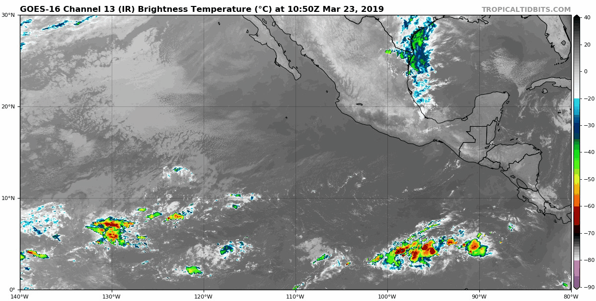
bubba hotep wrote:There is a non zero chance of supercells firing off the dryline late this afternoon in the DFW area. The HRRR is firing a lone supercell, if morning clouds clear out then this could be a good afternoon for pictures.

Had a brief shower earlier, didn't amount to much. I do like the prospects of some activity later today if indeed the clouds can clear for a while. Humidity is really high today!!!
0 likes   

Yukon Cornelius
S2K Supporter
S2K Supporter
Posts: 1737
Age: 40
Joined: Thu Dec 20, 2012 9:23 pm
Location: Dean, TX/Westcliffe, CO

Re: Texas Spring 2019

#427 Postby Yukon Cornelius » Sat Mar 23, 2019 10:19 am

Brent wrote:April Fools from the FV GFS dont worry DFW is still snowless :lol:

:roflmao:

http://i67.tinypic.com/ka0byc.png

Funny for sure but hasn’t this or similar been shown more than once?
0 likes   
#neversummer

Ntxw
Storm2k Moderator
Storm2k Moderator
Posts: 21500
Joined: Wed Oct 21, 2009 6:34 pm
Location: DFW, Texas

Re: Texas Spring 2019

#428 Postby Ntxw » Sat Mar 23, 2019 11:46 am

Yukon Cornelius wrote:
Brent wrote:April Fools from the FV GFS dont worry DFW is still snowless :lol:

:roflmao:

http://i67.tinypic.com/ka0byc.png

Funny for sure but hasn’t this or similar been shown more than once?


It will likely end up in Co/KS where there is a blizzard late week. Cold front will come through and send temps below normal again. May see a freeze in NW third to half of Texas some point next weekend and 30s for lows for the northern half. Chilly for the end of March. Storms is fairly deep and will drive a decent front with it.

It's been quite a chilly March for the Central US.

Image
2 likes   
The above post and any post by Ntxw is NOT an official forecast and should not be used as such. It is just the opinion of the poster and may or may not be backed by sound meteorological data. It is NOT endorsed by any professional institution including Storm2k. For official information, please refer to NWS products.


  Help support Storm2K!

Help Support Storm2K


User avatar
bubba hotep
S2K Supporter
S2K Supporter
Posts: 5456
Joined: Wed Dec 28, 2016 1:00 am
Location: Collin County Texas

Re: Texas Spring 2019

#429 Postby bubba hotep » Sat Mar 23, 2019 12:43 pm

12z GFS...

Image
3 likes   
Winter time post are almost exclusively focused on the DFW area.

Cpv17
Category 5
Category 5
Posts: 4317
Joined: Wed Dec 07, 2016 2:24 pm
Location: Wharton/El Campo, TX

Re: Texas Spring 2019

#430 Postby Cpv17 » Sat Mar 23, 2019 12:50 pm

I doubt it’s going to rain much as long as these strong fronts keep coming in keeping our temps below normal. We need some juice in the atmosphere and these fronts and below normal temps are taking that away. That’s my hunch on why it’s been dry lately.
1 likes   

User avatar
bubba hotep
S2K Supporter
S2K Supporter
Posts: 5456
Joined: Wed Dec 28, 2016 1:00 am
Location: Collin County Texas

Re: Texas Spring 2019

#431 Postby bubba hotep » Sat Mar 23, 2019 2:55 pm

Image

Mesoscale Discussion 0227
NWS Storm Prediction Center Norman OK
0233 PM CDT Sat Mar 23 2019

Areas affected...Oklahoma into north Texas

Concerning...Severe potential...Watch possible

Valid 231933Z - 232130Z

Probability of Watch Issuance...40 percent

SUMMARY...Isolated thunderstorms may develop this afternoon across
portions of Oklahoma and north Texas. These thunderstorms would be
capable of gusty winds and large hail, although a brief tornado or
two cannot be ruled out.

DISCUSSION...Skies have mostly cleared across Oklahoma in the wake
of earlier convection. Additionally, south-southeasterly winds have
contributed to modest low-level moisture return as indicated by
surface dewpoints in the low-to-mid 50Fs. The combination of
increasing insolation, steep midlevel-lapse rates, and modest
surface moisture has resulted in between 500-1000 J/kg of
mixed-layer CAPE.

Recent trends in the cumulus field indicates the presence of a
stable layer across the region. RAP forecast soundings, and HRRR
model reflectivity trends, indicate the combination of surface
temperatures approaching 70F and large-scale lift will be enough to
erode this stable layer during the afternoon. The result should be
an increasing threat of thunderstorms capable of producing large
hail and gusty winds during the late afternoon into the evening.
Wind fields veer with height and would generally be supportive of
updraft rotation. However, generally poor low-level moisture and
weak low-level wind fields should preclude a greater tornado threat.


At this time, confidence in thunderstorm coverage remains fairly low
and the need for a watch is uncertain. However, trends will continue
to be monitored.

..Marsh/Hart.. 03/23/2019
0 likes   
Winter time post are almost exclusively focused on the DFW area.

User avatar
CaptinCrunch
S2K Supporter
S2K Supporter
Posts: 8569
Age: 56
Joined: Mon Nov 03, 2003 4:33 pm
Location: Lake Worth, TX (Tarrant Co.)

Re: Texas Spring 2019

#432 Postby CaptinCrunch » Sat Mar 23, 2019 3:38 pm

So what happened to all that rain that was forecasted for last night and today? Bust weather models seem to be the trend these days. I mowed the front yesterday evening and fertilized since heavy rain was forecasted..... :lol:
2 likes   

Ntxw
Storm2k Moderator
Storm2k Moderator
Posts: 21500
Joined: Wed Oct 21, 2009 6:34 pm
Location: DFW, Texas

Re: Texas Spring 2019

#433 Postby Ntxw » Sat Mar 23, 2019 3:41 pm

CaptinCrunch wrote:So what happened to all that rain that was forecasted for last night and today? Bust weather models seem to be the trend these days. I mowed the front yesterday evening and fertilized since heavy rain was forecasted..... :lol:


You're not going to get deluges with dewpoints in the 30s, 40s, and 50s. That's not enough pwats for warm rains. That's been the issue this month is the anomalous persistent cool air. You need DPs in the upper 60s for a few days at least for efficient rainfall. So even when you see 60s and 70s (still coolish) the air masses are from the north with the lower dew-points vs deep tropical air masses.
1 likes   
The above post and any post by Ntxw is NOT an official forecast and should not be used as such. It is just the opinion of the poster and may or may not be backed by sound meteorological data. It is NOT endorsed by any professional institution including Storm2k. For official information, please refer to NWS products.


  Help support Storm2K!

Help Support Storm2K


gpsnowman
S2K Supporter
S2K Supporter
Posts: 2713
Joined: Fri Jan 07, 2011 10:35 am
Location: Grand Prairie Tx

Re: Texas Spring 2019

#434 Postby gpsnowman » Sat Mar 23, 2019 5:48 pm

Radar starting to come to life. Some light returns over DFW and and a little cell west of here.
0 likes   

User avatar
Cerlin
Category 5
Category 5
Posts: 1177
Age: 22
Joined: Thu Dec 08, 2016 12:06 am
Location: Norman, OK

Re: Texas Spring 2019

#435 Postby Cerlin » Sat Mar 23, 2019 7:59 pm

Very bummed about this lack of rain and thunderstorms. I’ve had a few brief nice downpours today but nothing sustainable and nothing that extraordinary. Hopefully as we progress into the night the radar looks a little better but, I’m not terribly optimistic.
0 likes   
Undergraduate Meteorology Student at the University of Oklahoma and Operator at the Oklahoma Mesonet.
All opinions independent of employers and the university.

Brent
S2K Supporter
S2K Supporter
Posts: 37090
Age: 35
Joined: Sun May 16, 2004 10:30 pm
Location: Tulsa Oklahoma
Contact:

Re: Texas Spring 2019

#436 Postby Brent » Sat Mar 23, 2019 10:16 pm

We're gonna need more sustained warmth if we want heavy rain I think, its a double edged sword with all these below normal temps like ntwx was saying, may be nicer overall but also drier...

looking at the 10 day forecast it still appears we're gonna have legit fronts so hard to get too excited about widespread rains
1 likes   
#neversummer

User avatar
CaptinCrunch
S2K Supporter
S2K Supporter
Posts: 8569
Age: 56
Joined: Mon Nov 03, 2003 4:33 pm
Location: Lake Worth, TX (Tarrant Co.)

Re: Texas Spring 2019

#437 Postby CaptinCrunch » Sun Mar 24, 2019 8:51 am

Only had a few brief light showers, just enough to get the street wet. My rant isn't with the lack of humidity or rain, but rather the poor model performance and subsequent forecasts.

Now I'm hoping for no rain today so I can mow the backyard, which means it will probably poor.
1 likes   

User avatar
bubba hotep
S2K Supporter
S2K Supporter
Posts: 5456
Joined: Wed Dec 28, 2016 1:00 am
Location: Collin County Texas

Re: Texas Spring 2019

#438 Postby bubba hotep » Sun Mar 24, 2019 9:22 am

Chance of some svr wx this afternoon with the threat mainly being high wind & hail. Coverage looks limited so probably not a lot of widespread rain with this system. Then the 00z Euro is bone dry for most of Texas over the next 10 days after tonight...

Image
0 likes   
Winter time post are almost exclusively focused on the DFW area.

User avatar
bubba hotep
S2K Supporter
S2K Supporter
Posts: 5456
Joined: Wed Dec 28, 2016 1:00 am
Location: Collin County Texas

Re: Texas Spring 2019

#439 Postby bubba hotep » Sun Mar 24, 2019 9:25 am

Speaking of the 00z Euro, here the last 9 runs at DFW:

0.6", 0.3, 0.9, 0.9, 0.8, 0.5, 1.1, 0.9, and.... ta da! 0.0"

ETA: This is for the 24 hr period ending tomorrow morning.
3 likes   
Winter time post are almost exclusively focused on the DFW area.

User avatar
Haris
Category 5
Category 5
Posts: 1808
Joined: Mon Nov 27, 2017 8:19 pm
Location: ( Bee Cave) West Austin, Texas

Re: Texas Spring 2019

#440 Postby Haris » Sun Mar 24, 2019 1:07 pm

All I am asking for is a simple thunderstorm for 15 min so I can get some cool lightning shots. Preference night.

:roll: :grr: San Antonio in moderate drought now too.
2 likes   
Weather geek and a storm spotter in West Austin. Not a degreed meteorologist. Big snow fan. Love rain and cold! Despise heat!


Return to “USA & Caribbean Weather”

Who is online

Users browsing this forum: No registered users and 97 guests