
Also, first time in a long time in the northern suburbs of Orlando that I have seen Mango trees flower so much, what a mild winter we had.
Florida Weather
Moderator: S2k Moderators
Forum rules

The posts in this forum are NOT official forecast and should not be used as such. They are just the opinion of the poster and may or may not be backed by sound meteorological data. They are NOT endorsed by any professional institution or STORM2K.
Re: Florida Weather
Also, first time in a long time in the northern suburbs of Orlando that I have seen Mango trees flower so much, what a mild winter we had.
0 likes

Re: Florida Weather
NDG wrote::uarrow: Indeed what a wet spring we have seen so far, in the past few years during April by now my grass at my home would had been brown as the color if I would had not irrigate it, this year has not been the case.
Also, first time in a long time in the northern suburbs of Orlando that I have seen Mango trees flower so much, what a mild winter we had.
Yeah talk about all the rain; April is typically the driest month of the year, yet we have gotten more rain than normal. Long range forecasts also called for a drier than normal forecast, but it has been anything but that.
0 likes
This post is NOT AN OFFICIAL FORECAST and should not be used as such. It is just the opinion of the poster and may or may not be backed by sound meteorological data. It is NOT endorsed by any professional institution including storm2k.org. For Official Information please refer to the NHC and NWS products.
-
tropicwatch

- Category 5

- Posts: 3205
- Age: 60
- Joined: Sat Jun 02, 2007 10:01 am
- Location: Panama City Florida
- Contact:
It his been awhile since the old adage has come true "April showers May Flowers":)
0 likes
Tropicwatch
Agnes 72', Eloise 75, Elena 85', Kate 85', Charley 86', Florence 88', Beryl 94', Dean 95', Erin 95', Opal 95', Earl 98', Georges 98', Ivan 2004', Arlene 2005', Dennis 2005', Ida 2009' Debby 2012' Irma 2017' Michael 2018'
Agnes 72', Eloise 75, Elena 85', Kate 85', Charley 86', Florence 88', Beryl 94', Dean 95', Erin 95', Opal 95', Earl 98', Georges 98', Ivan 2004', Arlene 2005', Dennis 2005', Ida 2009' Debby 2012' Irma 2017' Michael 2018'
Re: Florida Weather
I am well aware of the average start of the rainy season in Central Florida (around the May 20s), but can anyone offer some predictions as to when it will occur this year. Any seabreeze storms in the future? I know they mainly occur in the summer, but they can occur in late April and even in February.
0 likes
This post is NOT AN OFFICIAL FORECAST and should not be used as such. It is just the opinion of the poster and may or may not be backed by sound meteorological data. It is NOT endorsed by any professional institution including storm2k.org. For Official Information please refer to the NHC and NWS products.
Re: Florida Weather
asd123 wrote:I am well aware of the average start of the rainy season in Central Florida (around the May 20s), but can anyone offer some predictions as to when it will occur this year. Any seabreeze storms in the future? I know they mainly occur in the summer, but they can occur in late April and even in February.
With a possible developing El Nino it could usually mean an early start to the official rainy season for FL because dry & warm mid level ridges are not usually found to stay in place near the peninsula unlike during a La Nina.
0 likes
Re: Florida Weather
Check out the forecast for Orlando, FL: http://www.weather.com/weather/tenday/O ... L+MCO:9:US
Saturday through Tuesday will be hot, with numerous 90+ degree days. Day 10 and beyond features a possible cooldown from the NAO going negative (the most negative I've seen it on the 4.5 month chart), PNA positive, and AO negative. A perfect recipe of the teleconnections to bring a nice cooldown (probably the last) after the hot streak.
Saturday through Tuesday will be hot, with numerous 90+ degree days. Day 10 and beyond features a possible cooldown from the NAO going negative (the most negative I've seen it on the 4.5 month chart), PNA positive, and AO negative. A perfect recipe of the teleconnections to bring a nice cooldown (probably the last) after the hot streak.
0 likes
This post is NOT AN OFFICIAL FORECAST and should not be used as such. It is just the opinion of the poster and may or may not be backed by sound meteorological data. It is NOT endorsed by any professional institution including storm2k.org. For Official Information please refer to the NHC and NWS products.
Re: Florida Weather
asd123 wrote:Check out the forecast for Orlando, FL: http://www.weather.com/weather/tenday/O ... L+MCO:9:US
Saturday through Tuesday will be hot, with numerous 90+ degree days. Day 10 and beyond features a possible cooldown from the NAO going negative (the most negative I've seen it on the 4.5 month chart), PNA positive, and AO negative. A perfect recipe of the teleconnections to bring a nice cooldown (probably the last) after the hot streak.
Latest update of the same link shows quite a heat wave coming for at least the central Florida area that I know of; Friday April 26 all the way to the end of the forecast shows 90s, with the 27th and 28th 95 degrees!
Also a question to anyone who can answer: What models does the Weather Channel use to make their forecasts, as I looked at numerous models, and neither showed a streak of 90+ days (at least 6 days long) let alone 2 days back to back 95 degrees for the Orlando/Central Florida area.
0 likes
This post is NOT AN OFFICIAL FORECAST and should not be used as such. It is just the opinion of the poster and may or may not be backed by sound meteorological data. It is NOT endorsed by any professional institution including storm2k.org. For Official Information please refer to the NHC and NWS products.
-
TheStormExpert

- Category 5
- Posts: 8487
- Age: 30
- Joined: Wed Feb 16, 2011 5:38 pm
- Location: Palm Beach Gardens, FL
Interesting Forecast Discussion (Especially Long Range) today for S. FL from the NWS in Miami
AREA FORECAST DISCUSSION
NATIONAL WEATHER SERVICE MIAMI FL
921 PM EDT SAT APR 26 2014
PREV DISCUSSION... /ISSUED 223 PM EDT SAT APR 26 2014/
DISCUSSION...
THE WEATHER FOR SOUTH FLORIDA IS DOMINATED BY A LARGE AREA OF HIGH
PRESSURE OVER THE GULF OF MEXICO. THIS HIGH CONTAINS A STRONG AREA
OF SUDSIDENCE THAT IS SUPPRESSING THE SHOWER ACTIVITY THAT IS
USUALLY PRESENT WITH THE REGIME OF LOCAL SEA BREEZES. PRIOR TO THE
WET SEASON THIS DRYNESS IS COMMON IN APRIL AND MAY.
THE WEATHER SYNOPSIS SHOWS A DRY BOUNDARY LOCATED OVER EAST CENTRAL
FLORIDA AND THE ATLANTIC WATERS MOVING SOUTHWARD AND DISSIPATING AT
THE SAME TIME. THIS BOUNDARY IS INDUCING AN AREA OF CONVERGENCE
BETWEEN NORTHERLY FLOW TO THE NORTH OF THE BOUNDARY AND EASTERLY
FLOW SOUTH OF THE BOUNDARY. THE LACK OF MOISTURE AND THE STRONG
SUBSIDENCE ARE ONLY ALLOWING FOR THE GENERATION OF BANDS OF CLOUDS
OVER THE ATLANTIC WATERS OF PALM BEACH COUNTY. A BAND OF CLOUDS IS
ALSO EVIDENT ALONG THE EAST COAST ASSOCIATED WITH THE EAST COAST SEA
BREEZE.
NO CHANGES TO THE FORECAST HAVE BEEN MADE IN THE NEAR AND SHORT TERM
WITH THIS FORECAST PACKAGE SINCE THERE IS HIGH CONFIDENCE ASSOCIATED
WITH THE STRONG AREA OF HIGH PRESSURE. VERY DRY CONDITIONS ABOVE THE
BOUNDARY LAYER ARE FORECAST UNTIL MONDAY. AS THE TROUGH OF LOW
PRESSURE OVER THE WESTERN US CONTINUES TO MOVE EAST IT IS ABLE TO
GATHER SOME MOISTURE FROM THE GULF OF MEXICO FOR MONDAY. HOWEVER, AS
THE TROUGH CONTINUES TO PUSH TOWARD THE EAST COAST OF THE US, IT
DEEPENS AND STARTS TO PUSH NORTHWARD A NARROW WEDGE OF DRY AIR
IMMEDIATELY AHEAD OF THE TROUGH. THIS WILL INCREASE THE DRYING FOR
TUESDAY AND WEDNESDAY. AT THIS TIME THERE IS ALSO A HINT IN THE
MODELS THAT A SMALL PORTION OF A LARGE AREA OF DRY AIR FROM AFRICA
MAY AFFECT SOUTH FLORIDA FOR THE FIRST TIME THIS YEAR. THE BEST
CHANCES FOR SHOWERS AND A FEW THUNDERSTORMS ARE FROM THURSDAY NIGHT
TO SATURDAY AS THE TROUGH BRINGS MOISTURE TO THE AREA AHEAD OF IT.
0 likes
The following post is NOT an official forecast and should not be used as such. It is just the opinion of the poster and may or may not be backed by sound meteorological data. It is NOT endorsed by storm2k.org.
Re: Florida Weather
Orlando hit 93 today, with dewpoints near 70 it did not take much for the seabreeze boundary this afternoon lit up some thunderstorms. I take this like a soft start to our rainy season 


0 likes
Re: Florida Weather
13 inches of rain in Pensacola and flooding. An atmosphere loaded with moisture.
I knew something was up with that strong souther yesterday. It just blows past us as a strong southerly feed but becomes trouble up on the continent. In summer it flips. They get the good weather and we get the cyclones.
I knew something was up with that strong souther yesterday. It just blows past us as a strong southerly feed but becomes trouble up on the continent. In summer it flips. They get the good weather and we get the cyclones.
0 likes
-
cycloneye

- Admin

- Posts: 139049
- Age: 67
- Joined: Thu Oct 10, 2002 10:54 am
- Location: San Juan, Puerto Rico
Re: Florida Weather
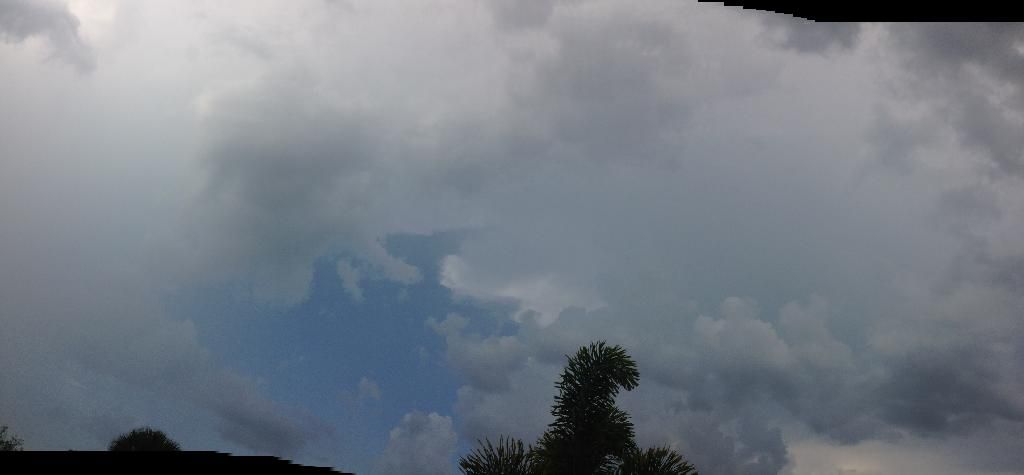
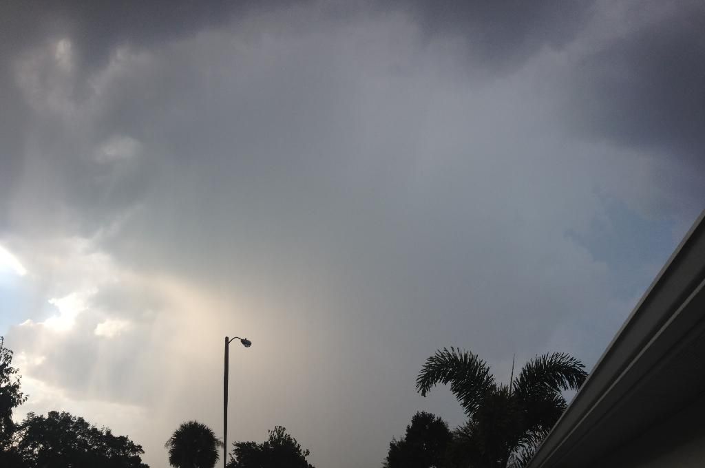
Tampa is getting drenched. Here is a photo.

0 likes
Visit the Caribbean-Central America Weather Thread where you can find at first post web cams,radars
and observations from Caribbean basin members Click Here
and observations from Caribbean basin members Click Here
-
cycloneye
- Admin
- Posts: 139049
- Age: 67
- Joined: Thu Oct 10, 2002 10:54 am
- Location: San Juan, Puerto Rico
Re: Florida Weather
Here is how much rain has fallen in the Tampa area.
http://raws.wrh.noaa.gov/cgi-bin/roman/ ... 1&time=GMT
http://raws.wrh.noaa.gov/cgi-bin/roman/ ... 1&time=GMT
0 likes
Visit the Caribbean-Central America Weather Thread where you can find at first post web cams,radars
and observations from Caribbean basin members Click Here
and observations from Caribbean basin members Click Here
-
cycloneye
- Admin
- Posts: 139049
- Age: 67
- Joined: Thu Oct 10, 2002 10:54 am
- Location: San Juan, Puerto Rico
Re: Florida Weather
BULLETIN - EAS ACTIVATION REQUESTED
TORNADO WARNING
NATIONAL WEATHER SERVICE TAMPA BAY AREA - RUSKIN FL
146 PM EDT FRI MAY 2 2014
THE NATIONAL WEATHER SERVICE IN RUSKIN HAS ISSUED A
* TORNADO WARNING FOR...
NORTHWESTERN MANATEE COUNTY IN WEST CENTRAL FLORIDA...
THIS INCLUDES THE CITIES OF...PALMETTO...BRADENTON...
NORTHWESTERN SARASOTA COUNTY IN WEST CENTRAL FLORIDA...
THIS INCLUDES THE CITY OF SARASOTA...
* UNTIL 200 PM EDT
* AT 146 PM EDT...NATIONAL WEATHER SERVICE METEOROLOGISTS DETECTED A
WATERSPOUT NEAR LONGBOAT KEY...OR 6 MILES SOUTH OF BRADENTON...
MOVING NORTHEAST AT 20 MPH.
* THE TORNADO WILL BE NEAR...
7 MILES SOUTHEAST OF PALMA SOLA BY 150 PM EDT...
SARASOTA BRADENTON AIRPORT...BAYSHORE GARDENS AND BRADENTON BY
155 PM EDT... SAMOSET...ELLENTON...PALMETTO AND 6 MILES
NORTHWEST OF DESOTO LAKES BY 200 PM EDT...
PRECAUTIONARY/PREPAREDNESS ACTIONS...
REMEMBER...AS WATERSPOUTS MOVE ASHORE THEY BECOME TORNADOES AND
SHOULD BE CONSIDERED EXTREMELY DANGEROUS.
IF IN MOBILE HOMES OR VEHICLES...EVACUATE THEM AND GET INSIDE A
STURDY SHELTER. IF NO SHELTER IS AVAILABLE...LIE FLAT IN THE NEAREST
DITCH OR OTHER LOW SPOT AND COVER YOUR HEAD WITH YOUR HANDS.
THE SAFEST PLACE TO BE DURING A TORNADO IS ON THE LOWEST FLOOR OF A
BUILDING IN AN INTERIOR HALLWAY OR ROOM SUCH AS A CLOSET. USE
BLANKETS OR PILLOWS TO COVER YOUR BODY AND ALWAYS STAY AWAY FROM
WINDOWS.
0 likes
Visit the Caribbean-Central America Weather Thread where you can find at first post web cams,radars
and observations from Caribbean basin members Click Here
and observations from Caribbean basin members Click Here
-
northjaxpro

- S2K Supporter

- Posts: 8900
- Joined: Mon Sep 27, 2010 11:21 am
- Location: Jacksonville, FL
Re: Florida Weather
Cool, dreary damp day here in the Jax area. Temps have stayed in the low 60s all day long. Cold front has briefly stalled out just to our south today. Also, have picked up an additional 2 inches of rainfall today. The wet spring continues that's for sure. I am curious to see if we broke a record today for a low maximum high temp today. I will be checking for that a bit later.
0 likes
NEVER, EVER SAY NEVER in the tropics and weather in general, and most importantly, with life itself!!
________________________________________________________________________________________
Fay 2008 Beryl 2012 Debby 2012 Colin 2016 Hermine 2016 Julia 2016 Matthew 2016 Irma 2017 Dorian 2019
________________________________________________________________________________________
Fay 2008 Beryl 2012 Debby 2012 Colin 2016 Hermine 2016 Julia 2016 Matthew 2016 Irma 2017 Dorian 2019
-
gatorcane

- S2K Supporter
- Posts: 23499
- Age: 46
- Joined: Sun Mar 13, 2005 3:54 pm
- Location: Boca Raton, FL
Looks like some pleasant whether this weekend across South Florida with unseasonably low dewpoints possible:
"AN ANOMALOUS PATTERN IS SHOWN BY BOTH MODELS BY THIS WEEKEND WITH A DEEP TROUGH OVER THE EASTERN STATES AND A COOLER AND DRY AIRMASS PLUNGING ALL THE WAY ACROSS SOUTH FL FOR NEXT WEEKEND. IF THIS ENDS UP THE CASE, DEWPOINTS COULD LOWER INTO THE 40S AND 50S NEXT WEEKEND - RARE FOR MID MAY - AND A BONUS FOR THOSE OF US NOT LOOKING FORWARD TO THE HIGH HUMIDITY DAYS WHICH AWAIT. /GREGORIA"
http://forecast.weather.gov/product.php ... glossary=1
0 likes
-
TheStormExpert
- Category 5
- Posts: 8487
- Age: 30
- Joined: Wed Feb 16, 2011 5:38 pm
- Location: Palm Beach Gardens, FL
My question is when will the rainy season finally kick in? As of lately it has drier and less and humid than normal for Early May standards. Would not be surprised to see the rainy start as late as June with the way these deep troughs have been swinging through every 1-2 weeks ushering in abnormally dry air!
0 likes
The following post is NOT an official forecast and should not be used as such. It is just the opinion of the poster and may or may not be backed by sound meteorological data. It is NOT endorsed by storm2k.org.
-
AdamFirst

- S2K Supporter
- Posts: 2487
- Age: 34
- Joined: Thu Aug 14, 2008 10:54 am
- Location: Port Saint Lucie, FL
Re: Florida Weather
One thing I missed about living in South Florida is feeding on WSVN's hype machine. NWS Miami suggests scattered POPS for the area, whereas WSVN is predicting 2+" inches of rain for the Miami metro.
0 likes
Dolphins Marlins Canes Golden Panthers HEAT
Andrew 1992 - Irene 1999 - Frances 2004 - Jeanne 2004 - Wilma 2005 - Fay 2008 - Isaac 2012 - Matthew 2016 - Irma 2017 - Dorian 2019 - Ian 2022 - Nicole 2022
Andrew 1992 - Irene 1999 - Frances 2004 - Jeanne 2004 - Wilma 2005 - Fay 2008 - Isaac 2012 - Matthew 2016 - Irma 2017 - Dorian 2019 - Ian 2022 - Nicole 2022
Re: Florida Weather
Funny how for the last couple of days TV Mets in central and southern FL have been talking about a tropical wave affecting the Peninsula over the next couple of days before the fropa by the end of the week, I am not sure if this disturbance coming in from the Bahamas and Cuba is a true tropical wave. I believe it is the left over upper level disturbance that was over P.R. and V.I. last weekend that developed a surface reflection and because of easterly flow it has been moving in our direction since then. I am SW FL today and it sure feels very tropical with a couple of heavy downpours here and there.
0 likes
-
JonathanBelles
- Professional-Met

- Posts: 11430
- Age: 33
- Joined: Sat Dec 24, 2005 9:00 pm
- Location: School: Florida State University (Tallahassee, FL) Home: St. Petersburg, Florida
- Contact:
I'm not sure where the definition line is between tropical wave and inverted trough with tropical moisture is. The upper level feature over the eastern Caribbean did not spawn this feature, but they did interact. The ULL is long gone, but this trough as i'll call it continues. I'm not sure if there is an archive of the surface analyses from the NHC, but this trough can be tracked back to the western MDR. The local NWS offices of central and south Florida have been using the terms tropical wave and inverted trough interchangeably.
0 likes
Return to “USA & Caribbean Weather”
Who is online
Users browsing this forum: No registered users and 64 guests