chrisjslucia wrote:
HI Michael, can you post the link to this graphic please. My eyes are toooooo bad to make it out at this size!!!
Thanks
Chris
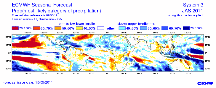
I believe that is the chart found here: http://www.ecmwf.int/products/forecasts ... cs!201104/
Moderator: S2k Moderators

chrisjslucia wrote:
HI Michael, can you post the link to this graphic please. My eyes are toooooo bad to make it out at this size!!!
Thanks
Chris


CourierPR wrote:Joe Bastardi at weatherbell.com posted this pm on possibility of May mischief in the Caribbean.


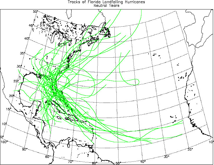
SFLcane wrote:With a weakening La Nina and neutral conditions, the vertical shear should be lower than last year. SSTs are above average and near the records of last year and the west Africa monsoon trof and east Pacific monsoon trof are both already active. Therefore, I see no reason why this year should be much different than last year, except that we should see U.S. hurricane landfalls this year. Last year was the second year in a row that we did not have a U.S. hurricane landfall. That has happened several times before, but we have never gone three years in a row without a U.S. hurricane landfall. So the odds are against us this year.
ROCK wrote:SFLcane wrote:With a weakening La Nina and neutral conditions, the vertical shear should be lower than last year. SSTs are above average and near the records of last year and the west Africa monsoon trof and east Pacific monsoon trof are both already active. Therefore, I see no reason why this year should be much different than last year, except that we should see U.S. hurricane landfalls this year. Last year was the second year in a row that we did not have a U.S. hurricane landfall. That has happened several times before, but we have never gone three years in a row without a U.S. hurricane landfall. So the odds are against us this year.
nicely put and I would agree....we will have more than 2 landfalling tropical systems this year I am afraid....

Stormcenter wrote:As long as they are all a Cat. 2 or less then I think we all could handle that.ROCK wrote:SFLcane wrote:With a weakening La Nina and neutral conditions, the vertical shear should be lower than last year. SSTs are above average and near the records of last year and the west Africa monsoon trof and east Pacific monsoon trof are both already active. Therefore, I see no reason why this year should be much different than last year, except that we should see U.S. hurricane landfalls this year. Last year was the second year in a row that we did not have a U.S. hurricane landfall. That has happened several times before, but we have never gone three years in a row without a U.S. hurricane landfall. So the odds are against us this year.
nicely put and I would agree....we will have more than 2 landfalling tropical systems this year I am afraid....


Ivanhater wrote:Looks like all heck will be breaking loose in the next 3 months, especially in the Caribbean
Users browsing this forum: JoshwaDone and 61 guests

