BOC (Is invest 90L)
Moderator: S2k Moderators
Forum rules

The posts in this forum are NOT official forecasts and should not be used as such. They are just the opinion of the poster and may or may not be backed by sound meteorological data. They are NOT endorsed by any professional institution or STORM2K. For official information, please refer to products from the National Hurricane Center and National Weather Service.
-
Bailey1777
- S2K Supporter

- Posts: 962
- Joined: Mon Jul 31, 2006 6:23 pm
- Location: Houston, Texas


-
Bailey1777
- S2K Supporter
- Posts: 962
- Joined: Mon Jul 31, 2006 6:23 pm
- Location: Houston, Texas
Re: BOC
I remember kfdm saying something about pressures expecting to be lowering in the GOM this week.
0 likes
-
wxman57

- Moderator-Pro Met

- Posts: 22506
- Age: 66
- Joined: Sat Jun 21, 2003 8:06 pm
- Location: Houston, TX (southwest)
Re: BOC
Toward the lower left of that colorized satellite image above you can clearly see a MLC moving westward over central Mexico toward the East Pac. The thunderstorms in the BoC are associated with the northern part of the wave axis. Could be the next East Pac storm, but it's not developing in the BoC because it's already inland.
0 likes
-
lrak

- S2K Supporter
- Posts: 1770
- Age: 57
- Joined: Thu Jun 21, 2007 2:48 pm
- Location: Corpus Christi, TX
Re: BOC
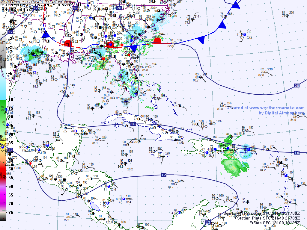
I see a turning just North of the Yucatan, looks like the GOM is starting its tease again 
Now its over the yucatan channel.
http://www.ndbc.noaa.gov/station_page.php?station=42056
Atmospheric Pressure (PRES): 29.49 in
Pressure Tendency (PTDY): -0.32 in ( Falling Rapidly )
ACK invisible HURRICANE with no wind
Now its over the yucatan channel.
http://www.ndbc.noaa.gov/station_page.php?station=42056
Atmospheric Pressure (PRES): 29.49 in
Pressure Tendency (PTDY): -0.32 in ( Falling Rapidly )
ACK invisible HURRICANE with no wind
0 likes
AKA karl
Also
Personal Forecast Disclaimer:
My posts on this forum are NOT official forecast and should not be used as such. My posts are my basic observations and are definitely not backed by any "well some" meteorological knowledge. For official information, please refer to the NHC and NWS products.
Also
Personal Forecast Disclaimer:
My posts on this forum are NOT official forecast and should not be used as such. My posts are my basic observations and are definitely not backed by any "well some" meteorological knowledge. For official information, please refer to the NHC and NWS products.
-
South Texas Storms

- Professional-Met

- Posts: 4034
- Joined: Thu Jun 24, 2010 12:28 am
- Location: Houston, TX
Re: BOC
hmm is this the same system right now that the cmc spins up into a tc and has it hitting northern mexico in 132 hours?
it also looks like the 12z euro and the 18z NAM have been hinting at an increase in vorticity and possible surface low forming in about 5 days.
it also looks like the 12z euro and the 18z NAM have been hinting at an increase in vorticity and possible surface low forming in about 5 days.
0 likes
-
lrak
- S2K Supporter
- Posts: 1770
- Age: 57
- Joined: Thu Jun 21, 2007 2:48 pm
- Location: Corpus Christi, TX
Re: BOC
http://www.ndbc.noaa.gov/station_page.php?station=42055
whats going on with these buoys? The pressures are whacKed?
whats going on with these buoys? The pressures are whacKed?
0 likes
AKA karl
Also
Personal Forecast Disclaimer:
My posts on this forum are NOT official forecast and should not be used as such. My posts are my basic observations and are definitely not backed by any "well some" meteorological knowledge. For official information, please refer to the NHC and NWS products.
Also
Personal Forecast Disclaimer:
My posts on this forum are NOT official forecast and should not be used as such. My posts are my basic observations and are definitely not backed by any "well some" meteorological knowledge. For official information, please refer to the NHC and NWS products.

-
blazess556
- Professional-Met
- Posts: 250
- Joined: Mon Aug 31, 2009 10:51 pm
- Location: Germantown, MD
-
South Texas Storms
- Professional-Met
- Posts: 4034
- Joined: Thu Jun 24, 2010 12:28 am
- Location: Houston, TX
Re:
blazess556 wrote:18z gfs shows a low in the general area.
yep you beat me to it blazess. 18z gfs shows a low forming in the boc and moves it slowly northwest into northern mexico. the cmc has also been hinting at this in its last few runs as well.
0 likes
-
South Texas Storms
- Professional-Met
- Posts: 4034
- Joined: Thu Jun 24, 2010 12:28 am
- Location: Houston, TX
-
Wx_Warrior
- Category 5

- Posts: 2718
- Joined: Thu Aug 03, 2006 3:58 pm
- Location: Beaumont, TX


-
Portastorm

- Storm2k Moderator

- Posts: 9787
- Age: 62
- Joined: Fri Jul 11, 2003 9:16 am
- Location: South Austin, TX
- Contact:
Re: BOC
A number of forecast discussions this afternoon out of South Texas NWS weather offices are alluding to possible surface low formation and a tropical system spinning up next week in this area. Definitely bears watching!
0 likes
-
Brent
- S2K Supporter
- Posts: 37143
- Age: 35
- Joined: Sun May 16, 2004 10:30 pm
- Location: Tulsa Oklahoma
- Contact:
Re: BOC
TROPICAL WEATHER OUTLOOK
NWS TPC/NATIONAL HURRICANE CENTER MIAMI FL
200 AM EDT SAT SEP 4 2010
FOR THE NORTH ATLANTIC...CARIBBEAN SEA AND THE GULF OF MEXICO...
THE NATIONAL HURRICANE CENTER IS ISSUING ADVISORIES ON RECENTLY
DOWNGRADED TROPICAL STORM EARL...LOCATED ABOUT 105 MILES
EAST-SOUTHWEST OF NANTUCKET MASSACHUSETTS.
THE REMNANT LOW OF GASTON LOCATED ABOUT 1150 MILES EAST OF THE
LEEWARD ISLANDS IS MOVING WESTWARD AT AROUND 10 MPH. SHOWERS AND
THUNDERSTORMS HAVE CONTINUED TO INCREASE NEAR AND TO THE NORTHWEST
OF THE CENTER OF CIRCULATION...AND ENVIRONMENTAL CONDITIONS ARE
CONDUCIVE FOR GRADUAL DEVELOPMENT. IF THUNDERSTORMS CONTINUE TO
FORM NEAR THE CENTER...THEN ADVISORIES COULD BE RE-INITIATED ON
THIS SYSTEM LATER TODAY. THERE IS A HIGH CHANCE...70 PERCENT...
OF THIS SYSTEM BECOMING A TROPICAL CYCLONE AGAIN DURING THE NEXT
48 HOURS.
SHOWERS AND THUNDERSTORMS ASSOCIATED WITH AN ELONGATED AREA OF LOW
PRESSURE LOCATED BETWEEN THE WEST COAST OF AFRICA AND THE CAPE
VERDE ISLANDS HAVE CHANGED LITTLE THIS EVENING. ENVIRONMENTAL
CONDITIONS ARE MARGINALLY CONDUCIVE FOR SOME SLOW DEVELOPMENT
DURING THE NEXT COUPLE OF DAYS. THERE IS A MEDIUM CHANCE...30
PERCENT...OF THIS SYSTEM BECOMING A TROPICAL CYCLONE DURING THE
NEXT 48 HOURS AS IT MOVES NORTHWESTWARD NEAR 10 MPH.
AN AREA OF DISTURBED WEATHER HAS DEVELOPED OVER THE SOUTHERN BAY OF
CAMPECHE. DEVELOPMENT OF THIS SYSTEM...IF ANY...SHOULD BE SLOW TO
OCCUR DUE TO PROXIMITY TO LAND. THERE IS A LOW CHANCE...10
PERCENT...OF THIS SYSTEM BECOMING A TROPICAL CYCLONE DURING THE
NEXT 48 HOURS AS IT MOVES NORTHWESTWARD AT 5 TO 10 MPH.
THE REMNANT CIRCULATION OF FORMER TROPICAL DEPRESSION FIONA IS
LOCATED ABOUT 90 MILES SOUTHEAST OF BERMUDA. ENVIRONMENTAL
CONDITIONS ARE CURRENTLY UNFAVORABLE FOR REGENERATION OF THIS
SYSTEM. THERE IS A LOW CHANCE...NEAR 0 PERCENT...OF THIS SYSTEM
BECOMING A TROPICAL CYCLONE DURING THE NEXT 48 HOURS AS IT
MOVES NORTHEASTWARD AT 15 TO 20 MPH.
ELSEWHERE...TROPICAL CYCLONE FORMATION IS NOT EXPECTED DURING THE
NEXT 48 HOURS.
$$
FORECASTER STEWART
0 likes
#neversummer
GULF OF MEXICO...
AN ELONGATED CUT-OFF UPPER LOW IS OVER THE W GULF EXTENDING FROM
VERMILION BAY LOUISIANA TO THE W BAY OF CAMPECHE NEAR 20N95W. A
SURFACE TROUGH IS JUST TO THE E OF THE UPPER TROUGH EXTENDING
FROM 26N88W ALONG 22N93W TO THE COAST OF S MEXICO NEAR 18N94W.
AN UPPER RIDGE COVERS THE REMAINDER OF THE GULF WATERS ANCHORED
IN THE FLORIDA STRAITS NEAR 25N80W AND EXTENDING AN AXIS NNW TO
OVER S GEORGIA. DIFFLUENCE ALOFT COMBINED WITH SURFACE
CONVERGING FLOW CONTINUES TO GENERATE SCATTERED SHOWERS AND
POSSIBLE ISOLATED THUNDERSTORMS WITHIN 120 NM OF LINE FROM
29N87W TO 20N93W AND SCATTERED SHOWERS/THUNDERSTORMS ARE S OF
20N TO INLAND OVER S MEXICO E OF 95W TO THE YUCATAN PENINSULA. A
DEEP LAYERED TROUGH COVERS MOST OF THE E HALF U.S. WITH THE
EXCEPTION OF THE FAR SE SUPPORTING A COLD FRONT THAT EXTENDS
ACROSS CENTRAL ALABAMA...S MISSISSIPPI...TO JUST INLAND ALONG
THE COAST OF LOUISIANA AND TEXAS. A PRE-FRONTAL SURFACE TROUGH
EXTENDS FROM LAKE CHARLES LOUISIANA ALONG 27N96W TO INLAND OVER
MEXICO NEAR 24N98W WITH ISOLATED SHOWERS W OF SURFACE TROUGH.
THE COLD FRONT IS EXPECTED TO ENTER THE GULF LATER THIS MORNING
BRINGING DRIER AIR IN ITS WAKE...AS THE S GULF WILL CONTINUE TO
EXPERIENCE SHOWERS/THUNDERSTORMS AS TROPICAL DEPRESSION ELEVEN-E
CURRENTLY IN THE GULF OF TEHUANTEPEC MOVES NW TO OVER MEXICO.
0 likes
-
ColinDelia

- S2K Supporter
- Posts: 918
- Joined: Mon Aug 29, 2005 5:52 am
- Location: The Beach, FL

-
ColinDelia
- S2K Supporter
- Posts: 918
- Joined: Mon Aug 29, 2005 5:52 am
- Location: The Beach, FL


Models seem pretty agressive on a quick fire system developing in the BoC and there is alot of convection down there so I see no reason why that can't happen to be honest...
0 likes
Personal Forecast Disclaimer:
The posts in this forum are NOT official forecast and should not be used as such. They are just the opinion of the poster and may or may not be backed by sound meteorological data. They are NOT endorsed by any professional institution or storm2k.org. For official information, please refer to the NHC and NWS products
The posts in this forum are NOT official forecast and should not be used as such. They are just the opinion of the poster and may or may not be backed by sound meteorological data. They are NOT endorsed by any professional institution or storm2k.org. For official information, please refer to the NHC and NWS products
-
ColinDelia
- S2K Supporter
- Posts: 918
- Joined: Mon Aug 29, 2005 5:52 am
- Location: The Beach, FL
Who is online
Users browsing this forum: Cpv17, cstrunk, Datsaintsfan09, jaguars_22, Javlin, JtSmarts, Killjoy12, KirbyDude25, lilbump3000, lolitx, NONAME, PavelGaborik10, sphelps8681, Stormybajan, Wampadawg, weatherSnoop and 96 guests