


Three factors are in play:
1) IMHO the UL negative MPV from 97L continues west into the Carib.
2) This will interact later in the week with a cutoff PV from the trough dropping down from the CONUS.
3) This could also be reinforced by the vorticity of the wave associated from 97L as it continues west.
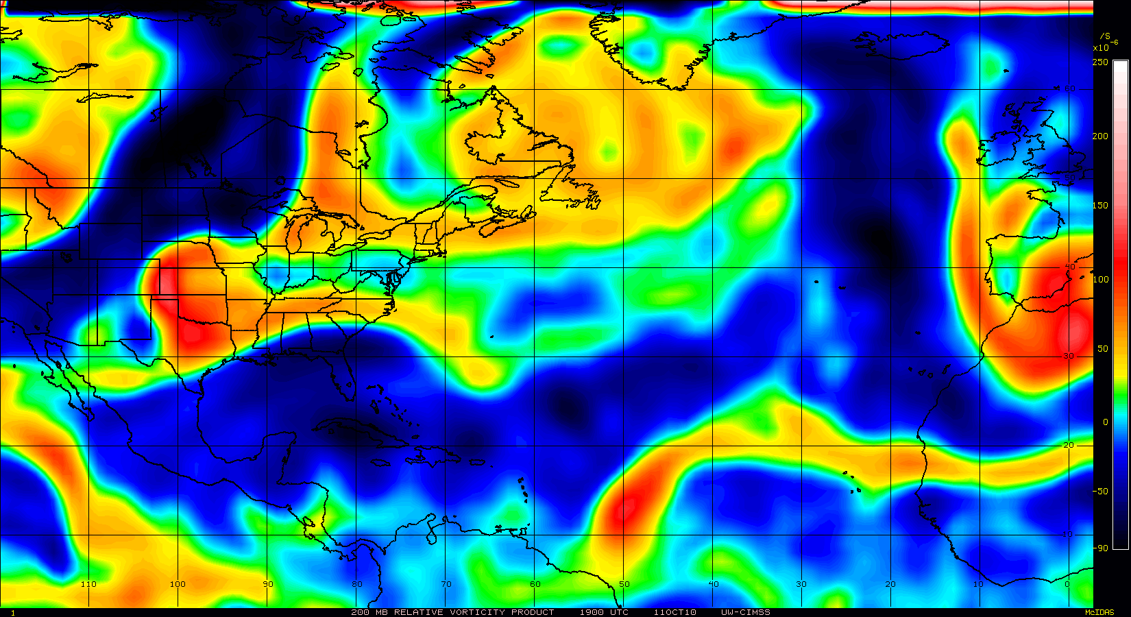
All globals are showing 850mb vortticity breaking off from the trough in the west Carib.
http://moe.met.fsu.edu/cgi-bin/cmctc2.c ... =Animation
http://moe.met.fsu.edu/cgi-bin/gfstc2.c ... =Animation
http://moe.met.fsu.edu/cgi-bin/ngptc2.c ... =Animation
UL should be favorable then as diabatic heating of the large convection currently from 97L pushes west.
If it continues to fire, it may be able to redirect the anti-cyclone currently over Hispaniola to the area south of Jamaica.
At that time, the dynamic tropopause should lift and be conducive for TC genesis.
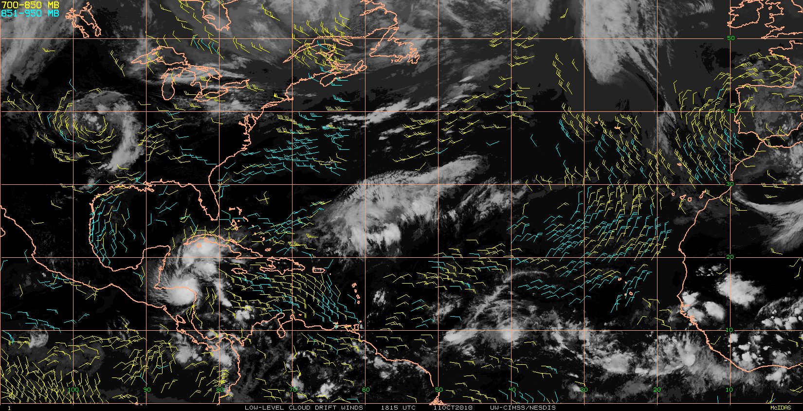
Trade winds have shifted in the Carib.
They are running from the west south of Hispaniola and out of the north in the west Carib.
GFS has been consistant with spinup and more models jumping on it.
CAPE is forecasted to be 1500 to 2000 in the West Carib at that time.
http://www.atmos.albany.edu/student/cor ... ecast.html


