

Looks like we can get some nice ACE if it bombs out early.
Moderator: S2k Moderators


Kingarabian wrote:Euro has CPAC-WPAC basin crosser. Really intensifies it:
Looks like we can get some nice ACE if it bombs out early.
Yellow Evan wrote:
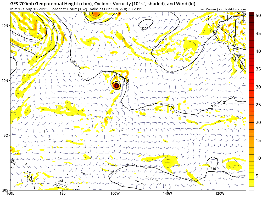
Uh oh. 0z GFS.


Yellow Evan wrote:Good news here is the 12z ECMWF keeps this way south.

Yellow Evan wrote:Slightly more east, but also a little weaker.
Given the time of year, I'd think the ECMWF situation is more likely.


Users browsing this forum: duilaslol and 43 guests


