
Hmm,interesting that they are starting to mention this.Lets keep watching how this big area evolves in the next few days.
Moderator: S2k Moderators


cycloneye wrote:Stu,I merged your thread with this one that was already posted about the same general area.
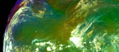
BigA wrote:Hmm, moderately bullish TWO language for a system first introduced. Its still not so late that things cant form east of the Lesser Antilles, especially only a little ways east as this thing appears to be. Interesting area of convection at 9-10N, 48 west.
Definitely worth ursine monitoring.
BensonTCwatcher wrote: Ursine montoring..I suppose so that we'll be ready in case the fecal matter impacts the rotary oscillator right. Chuckle


cycloneye wrote:After looking at the date of wave being introduced,this one is the wave.So I am merging the perturbation at itcz thread to this one.GustyWind,lets continue here the discussions of this system.


Users browsing this forum: No registered users and 144 guests


