Aric Dunn wrote:jconsor wrote:https://twitter.com/yconsor/status/1154725388758765568
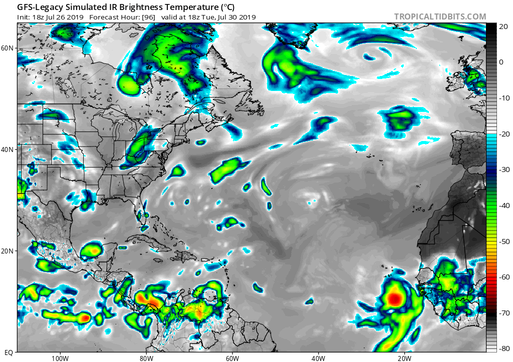
Something to note.. for the first time this summer there is a large wave over africa that is farther north spreading rain over the southern Saharah region ( the Sahel region I believe) where most fo the SAL that affects the deeps tropics comes from. It receives rain each spring and summer, but this year up till now has been particularly dry which is why we have seen a rather large uptick in the SAL outbreaks this July in the eastern Atlantic.
Here's a great image of that (which should also help protect the AEW to the south that the ECMWF is starting to develop). Seen this a few times, where a leading wave to the north becomes a sacrificial lamb, providing a barrier from dry air entrainment in the AEW to the south (which you can see the dry air beginning to affect the waves in CATL and off Africa).