Strong Tropical Wave to emerge from West Africa today (Is Invest 95L)

This is the general tropical discussion area. Anyone can take their shot at predicting a storms path.

Moderator: S2k Moderators

Forum rules

The posts in this forum are NOT official forecasts and should not be used as such. They are just the opinion of the poster and may or may not be backed by sound meteorological data. They are NOT endorsed by any professional institution or STORM2K. For official information, please refer to products from the National Hurricane Center and National Weather Service.

Help Support Storm2K
Message
Author
LarryWx
Category 5
Category 5
Posts: 5754
Joined: Sun Sep 07, 2003 2:04 pm
Location: GA

Re: Strong Tropical Wave to emerge from West Africa early next week

#81 Postby LarryWx » Sat Sep 11, 2021 7:38 pm

aspen wrote:Here are the three scenarios I think are the most probable at this point, marked on an SST map to show the oceanic environment this would be moving through:
1.) Chanthu doesn't pump the ridge much or a trough comes to save the day, leading to a Larry-like recurve that could be a close call for Bermuda or Newfoundland.
2.) Chanthu pumps a very strong ridge that sends this system on a Maria or Georges-like track through the NW Caribbean and Bahamas, becoming a significant CONUS threat
3.) Chanthu does strengthen the ridge, but it's not enough to keep it WNW and it has a late recurve that could threaten anywhere from the Carolinas to Canada (or miss all/most landmasses by a slim margin like Earl '10)
https://i.imgur.com/9dAKajO.png

The further SW this is, the more favorable the SSTs and OHC content it'll encounter will be. I think this has a good shot of becoming the 4th major of the season. However, I don't anticipate it recurving around 40-50W like early Larry runs, nor do I think it'll get south of PR. But only time will tell and maybe this ends up as another relatively safe recurve that either misses land or, like Larry, only impacts land when it's weakening and moving too fast to cause any prolonged damage.


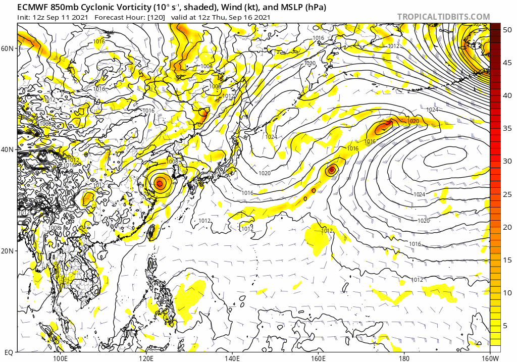
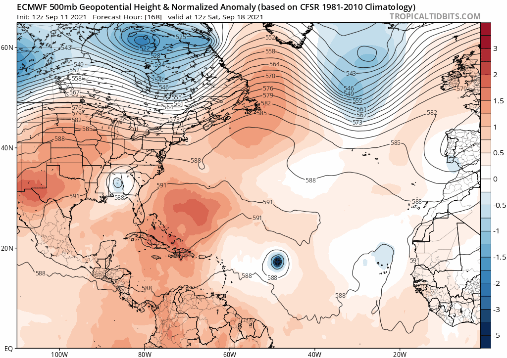
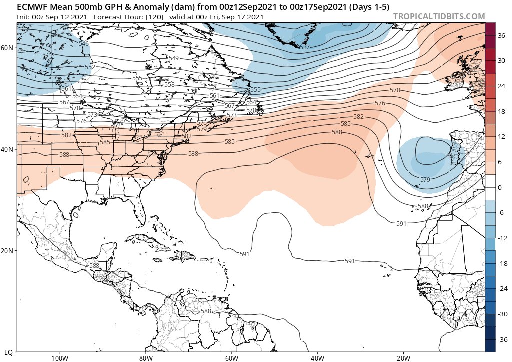
Like I was saying earlier, the Chanthu pumped ridge may happen and be quite strong but it may then “deflate” by the time this would be approaching thus giving us the 3rd scenario. Or would it move slowly enough for a second strong ridge to form and block it back toward the Conus? Lots of moving parts, including 93L. This is no easy call Larry.
2 likes   
Personal Forecast Disclaimer:
The posts in this forum are NOT official forecasts and should not be used as such. They are just the opinion of the poster and may or may not be backed by sound meteorological data. They are NOT endorsed by any professional institution or storm2k.org. For official information, please refer to the NHC and NWS products.

User avatar
Spacecoast
Category 2
Category 2
Posts: 687
Joined: Thu Aug 31, 2017 2:03 pm

Re: Strong Tropical Wave to emerge from West Africa early next week

#82 Postby Spacecoast » Sat Sep 11, 2021 8:02 pm

18z GEFS:
Image
0 likes   

User avatar
Category5Kaiju
Category 5
Category 5
Posts: 3418
Age: 22
Joined: Thu Dec 24, 2020 12:45 pm
Location: Seattle

Re: Strong Tropical Wave to emerge from West Africa early next week

#83 Postby Category5Kaiju » Sat Sep 11, 2021 8:08 pm

Spacecoast wrote:18z GEFS:
[url]https://i.ibb.co/rpwMgvS/Animationi.gif [/url]


Not sure at the top of my head, but are there examples of storms that rode at decently low latitudes in the MDR, only to abruptly turn north before hitting the islands? Because I honestly cannot think of any good recent examples of this.
0 likes   
Unless explicitly stated, all information covered in my posts is based on my opinions and observations. Please refer to a professional meteorologist or an accredited weather research agency otherwise, especially if serious decisions must be made in the event of a potentially life-threatening tropical storm or hurricane.

User avatar
Hypercane_Kyle
Category 5
Category 5
Posts: 2900
Joined: Sat Mar 07, 2015 7:58 pm
Location: Cape Canaveral, FL

Re: Strong Tropical Wave to emerge from West Africa early next week

#84 Postby Hypercane_Kyle » Sat Sep 11, 2021 8:12 pm

Shell Mound wrote:
AlphaToOmega wrote:
Shell Mound wrote:The bears aren’t eating crow this time. :wink: At this point this will likely be a westerly version of Larry, but not so far west as to impact the Caribbean/CONUS.

The difference is that the ensembles showed Larry being an OTS storm. Not so much with this storm

https://i.imgur.com/WUncesH.png

:wink:


You'll forgive me for not taking a 360 hour ensemble plot too seriously.
5 likes   
My posts are my own personal opinion, defer to the National Hurricane Center (NHC) and other NOAA products for decision making during hurricane season.

User avatar
Blown Away
S2K Supporter
S2K Supporter
Posts: 9870
Joined: Wed May 26, 2004 6:17 am

Re: Strong Tropical Wave to emerge from West Africa early next week

#85 Postby Blown Away » Sat Sep 11, 2021 8:41 pm

Spacecoast wrote:18z GEFS:
[url]https://i.ibb.co/rpwMgvS/Animationi.gif [/url]


Not sure why so many keep talking about all this blocking HP this season. Seems no matter where the systems are in the basin they turn N once they deepen.
1 likes   
Hurricane Eye Experience: David 79, Irene 99, Frances 04, Jeanne 04, Wilma 05... EYE COMING MY WAY IN 2024…
Hurricane Brush Experience: Andrew 92, Erin 95, Floyd 99, Matthew 16, Irma 17, Ian 22, Nicole 22…

AutoPenalti
Category 5
Category 5
Posts: 3950
Age: 27
Joined: Mon Aug 17, 2015 4:16 pm
Location: Ft. Lauderdale, Florida

Re: Strong Tropical Wave to emerge from West Africa early next week

#86 Postby AutoPenalti » Sat Sep 11, 2021 8:44 pm

Blown Away wrote:
Spacecoast wrote:18z GEFS:
[url]https://i.ibb.co/rpwMgvS/Animationi.gif [/url]


Not sure why so many keep talking about all this blocking HP this season. Seems no matter where the systems are in the basin they turn N once they deepen.

It’s being talked by promets on twitter, it’s different this time around because we don’t know how much influence the WPAC typhoon will have on this ridge.
0 likes   
The posts in this forum are NOT official forecasts and should not be used as such. They are just the opinion of the poster and may or may not be backed by sound meteorological data. They are NOT endorsed by any professional institution or STORM2K. For official information, please refer to products from the NHC and NWS.


Model Runs Cheat Sheet:
GFS (5:30 AM/PM, 11:30 AM/PM)
HWRF, GFDL, UKMET, NAVGEM (6:30-8:00 AM/PM, 12:30-2:00 AM/PM)
ECMWF (1:45 AM/PM)

TCVN
is a weighted averaged

User avatar
gatorcane
S2K Supporter
S2K Supporter
Posts: 23499
Age: 46
Joined: Sun Mar 13, 2005 3:54 pm
Location: Boca Raton, FL

Re: Strong Tropical Wave to emerge from West Africa early next week

#87 Postby gatorcane » Sat Sep 11, 2021 8:49 pm

AutoPenalti wrote:
Blown Away wrote:
Spacecoast wrote:18z GEFS:
[url]https://i.ibb.co/rpwMgvS/Animationi.gif [/url]


Not sure why so many keep talking about all this blocking HP this season. Seems no matter where the systems are in the basin they turn N once they deepen.

It’s being talked by promets on twitter, it’s different this time around because we don’t know how much influence the WPAC typhoon will have on this ridge.


The recurving typhoon doesn’t look particularly strong, at least on the Euro. Yes it will have an impact over the mid-level steering over North America with potentially a strong ridge over SE Canada but maybe not as much of a significant impact as some think.

Saved loop of the Euro 120-216 hour:

Image

168-240 500mb Euro, with the strong SE Canada ridge but doesn’t last long and is far to the north:

Image
1 likes   

User avatar
Teban54
Category 5
Category 5
Posts: 1980
Joined: Sat May 19, 2018 1:19 pm

Re: Strong Tropical Wave to emerge from West Africa early next week

#88 Postby Teban54 » Sat Sep 11, 2021 8:53 pm

Category5Kaiju wrote:
Spacecoast wrote:18z GEFS:
[url]https://i.ibb.co/rpwMgvS/Animationi.gif [/url]


Not sure at the top of my head, but are there examples of storms that rode at decently low latitudes in the MDR, only to abruptly turn north before hitting the islands? Because I honestly cannot think of any good recent examples of this.

Here are the tracks of all 58 tropical cyclones on record that passed within 120 nautical miles of 10N, 40W. This circle roughly covers 8N-12N at this longitude.
Image

Interestingly, not a single storm that passed 40W at a latitude of 8N-12N was stronger than Cat 1 at this longitude. (There could be storms before the satellite era that were not captured here, but seems unlikely as there are also no precedents during the satellite era.)

Of these storms, I count about 9 storms that became majors before the longitude of the Lesser Antilles:
- 6 of them passed through the Lesser Antilles: #3 1883, Inez 1966, David 1979, Allen 1980, Ivan 2004, Danny 2015 (dissipated right after LA)
- 2 of them went north of the Lesser Antilles, but still made a CONUS landfall: #9 1893 (formed pretty late on Sep 25), Frances 2004
- 1 of them did not make landfall: #2 1884 (in fact, it became a major only after recurving to the NE of Lesser Antilles)

I think the 1884 storm fits your description the best:
Image

I do suspect you were looking for a track more like Teddy 2020, which initially went almost due west in the MDR but made an abrupt NW turn before getting close to the islands. Teddy hit 40W at 12.9N to the north of my search box. I didn't find any majors south of 12N/40W that took a similar track, though #7 of 1869 did this as a Cat 2: (pre-satellite, so possible it was actually a major)
Image

Also, 5 of these 58 storms did not become a major before passing the Lesser Antilles, but did become a major beyond that (either in the Caribbean or to the north of it): #3 1921, Dora 1964, Andrew 1992, Bertha 1996, Dean 2007. Only the 1921 storm avoided a continental landfall.
Note that a few of the 58 storms recurved before the islands and hit Cat 1/2 while recurving, though most of them were before the satellite era (with Chris 1994 being the only exception).

In summary, from a statistical standpoint, if the storm we're monitoring passes 40W below 12N, it's likely to make a landfall somewhere even if it gets strong in the MDR; in fact, getting strong in the MDR actually means landfall is more likely, as there are no precedents of storms below 12N/40W that became a major in the MDR and still avoided landfall. Of course, we don't know whether it will indeed be at such a low latitude yet - I'll take a look at storms at 12N-13N later if I have time.
6 likes   

User avatar
Blown Away
S2K Supporter
S2K Supporter
Posts: 9870
Joined: Wed May 26, 2004 6:17 am

Re: Strong Tropical Wave to emerge from West Africa early next week

#89 Postby Blown Away » Sat Sep 11, 2021 9:09 pm

AutoPenalti wrote:
Blown Away wrote:
Spacecoast wrote:18z GEFS:
[url]https://i.ibb.co/rpwMgvS/Animationi.gif [/url]


Not sure why so many keep talking about all this blocking HP this season. Seems no matter where the systems are in the basin they turn N once they deepen.

It’s being talked by promets on twitter, it’s different this time around because we don’t know how much influence the WPAC typhoon will have on this ridge.


Agree, but at the end of the day its the global modeling that is showing well N of Caribbean and likely far enough N around day 10 to avoid CONUS and take a Larry type track. Obviously to far out to make ANY conclusions!!!
0 likes   
Hurricane Eye Experience: David 79, Irene 99, Frances 04, Jeanne 04, Wilma 05... EYE COMING MY WAY IN 2024…
Hurricane Brush Experience: Andrew 92, Erin 95, Floyd 99, Matthew 16, Irma 17, Ian 22, Nicole 22…

User avatar
Spacecoast
Category 2
Category 2
Posts: 687
Joined: Thu Aug 31, 2017 2:03 pm

Re: Strong Tropical Wave to emerge from West Africa early next week

#90 Postby Spacecoast » Sat Sep 11, 2021 9:31 pm

Teban54 wrote:
Category5Kaiju wrote:
Spacecoast wrote:18z GEFS:
[url]https://i.ibb.co/rpwMgvS/Animationi.gif [/url]


Not sure at the top of my head, but are there examples of storms that rode at decently low latitudes in the MDR, only to abruptly turn north before hitting the islands? Because I honestly cannot think of any good recent examples of this.

Here are the tracks of all 58 tropical cyclones on record that passed within 120 nautical miles of 10N, 40W. This circle roughly covers 8N-12N at this longitude.
https://i.imgur.com/qOmTMPY.png

In summary, from a statistical standpoint, if the storm we're monitoring passes 40W below 12N, it's likely to make a landfall somewhere even if it gets strong in the MDR; in fact, getting strong in the MDR actually means landfall is more likely, as there are no precedents of storms below 12N/40W that became a major in the MDR and still avoided landfall. Of course, we don't know whether it will indeed be at such a low latitude yet - I'll take a look at storms at 12N-13N later if I have time.


Good job!
Yes, very true, but that includes June/July / August storms...
I ran the exact same parameters (120 nautical miles of 10N, 40W) with just Sept/Oct/Nov..:

Image
Results were 27 storms
4 landfalls (Inez, Ivan, 1893,& 1906) ---- 17%
23 recurves ----- 83%

I am not implying, insinuating, or drawing any conclusions from this, it's just historical data.
Some things have no precedent. Until they happen.
Last edited by Spacecoast on Sat Sep 11, 2021 9:55 pm, edited 1 time in total.
3 likes   

AutoPenalti
Category 5
Category 5
Posts: 3950
Age: 27
Joined: Mon Aug 17, 2015 4:16 pm
Location: Ft. Lauderdale, Florida

Re: Strong Tropical Wave to emerge from West Africa early next week

#91 Postby AutoPenalti » Sat Sep 11, 2021 9:45 pm

gatorcane wrote:
AutoPenalti wrote:
Blown Away wrote:
Not sure why so many keep talking about all this blocking HP this season. Seems no matter where the systems are in the basin they turn N once they deepen.

It’s being talked by promets on twitter, it’s different this time around because we don’t know how much influence the WPAC typhoon will have on this ridge.


The recurving typhoon doesn’t look particularly strong, at least on the Euro. Yes it will have an impact over the mid-level steering over North America with potentially a strong ridge over SE Canada but maybe not as much of a significant impact as some think.

Saved loop of the Euro 120-216 hour:

https://i.postimg.cc/s2nx1Lqk/ecmwf-uv850-vort-wpac-fh120-216.gif

168-240 500mb Euro, with the strong SE Canada ridge but doesn’t last long and is far to the north:

https://i.postimg.cc/tRFbMfD9/ecmwf-z500a-Norm-atl-fh168-240.gif

Fools gold to have that verify 10 days out.
0 likes   
The posts in this forum are NOT official forecasts and should not be used as such. They are just the opinion of the poster and may or may not be backed by sound meteorological data. They are NOT endorsed by any professional institution or STORM2K. For official information, please refer to products from the NHC and NWS.


Model Runs Cheat Sheet:
GFS (5:30 AM/PM, 11:30 AM/PM)
HWRF, GFDL, UKMET, NAVGEM (6:30-8:00 AM/PM, 12:30-2:00 AM/PM)
ECMWF (1:45 AM/PM)

TCVN
is a weighted averaged

User avatar
Hurricaneman
Category 5
Category 5
Posts: 7284
Age: 43
Joined: Tue Aug 31, 2004 3:24 pm
Location: central florida

Re: Strong Tropical Wave to emerge from West Africa early this week

#92 Postby Hurricaneman » Sat Sep 11, 2021 11:23 pm

The 0zGFS is a little stronger this run, may there be a chance of a Caribbean cruiser if it doesn’t get picked up
0 likes   

Shell Mound
Category 5
Category 5
Posts: 2434
Age: 31
Joined: Thu Sep 07, 2017 3:39 pm
Location: St. Petersburg, FL → Scandinavia

Re: Strong Tropical Wave to emerge from West Africa early this week

#93 Postby Shell Mound » Sun Sep 12, 2021 3:29 am

Blown Away wrote:
Spacecoast wrote:18z GEFS:
[url]https://i.ibb.co/rpwMgvS/Animationi.gif [/url]

Not sure why so many keep talking about all this blocking HP this season. Seems no matter where the systems are in the basin they turn N once they deepen.

Image

Ridging has been present thus far, but displaced well to the north. This has allowed many TUTTs underneath to enable weaknesses.
0 likes   
CVW / MiamiensisWx / Shell Mound
The posts in this forum are NOT official forecasts and should not be used as such. They are just the opinion of the poster and may or may not be backed by sound meteorological data. They are NOT endorsed by any professional institution or STORM2K. For official information, please refer to products from the NHC and NWS.

Shell Mound
Category 5
Category 5
Posts: 2434
Age: 31
Joined: Thu Sep 07, 2017 3:39 pm
Location: St. Petersburg, FL → Scandinavia

Re: Strong Tropical Wave to emerge from West Africa early this week

#94 Postby Shell Mound » Sun Sep 12, 2021 3:32 am

Image

:fishing:
4 likes   
CVW / MiamiensisWx / Shell Mound
The posts in this forum are NOT official forecasts and should not be used as such. They are just the opinion of the poster and may or may not be backed by sound meteorological data. They are NOT endorsed by any professional institution or STORM2K. For official information, please refer to products from the NHC and NWS.

User avatar
SFLcane
S2K Supporter
S2K Supporter
Posts: 9621
Age: 46
Joined: Sat Jun 05, 2010 1:44 pm
Location: Lake Worth Florida

Re: Strong Tropical Wave to emerge from West Africa early this week

#95 Postby SFLcane » Sun Sep 12, 2021 4:20 am


Certainly don’t trust Eps that far out. Certainly no fish in the op.

Image
0 likes   

Shell Mound
Category 5
Category 5
Posts: 2434
Age: 31
Joined: Thu Sep 07, 2017 3:39 pm
Location: St. Petersburg, FL → Scandinavia

Re: Strong Tropical Wave to emerge from West Africa early this week

#96 Postby Shell Mound » Sun Sep 12, 2021 4:33 am

SFLcane wrote:


Certainly don’t trust Eps that far out. Certainly no fish in the op.

https://i.postimg.cc/Hs1p1MtS/AA8-DCDD4-11-C9-4855-9572-AD692-C253-B71.gif

I would still trust the ensemble mean more than I would a single operational run. Furthermore, both the EPS and the operational EC show a TUTT-related weakness around ~25°N 52°W in a week (168h). Both the operational EC and a majority of the EPS members show a hurricane at that time, so the weakness near ~25°N 52°W allows a deepening hurricane to gain sufficient latitude as to miss the Leeward Islands and Hebert Box #1. If this system were to miss Hebert Box #1, the risk to South Florida would decrease substantially. If the system were to gain sufficient latitude before coming under the influence of the ridge, the chances of an OTS path, or at least a track that would miss the CONUS, would go up substantially, especially if both location and climatology are taken into account. So one does not need to know the long-range pattern in order to deduce a reasonable outcome, that is, OTS.
1 likes   
CVW / MiamiensisWx / Shell Mound
The posts in this forum are NOT official forecasts and should not be used as such. They are just the opinion of the poster and may or may not be backed by sound meteorological data. They are NOT endorsed by any professional institution or STORM2K. For official information, please refer to products from the NHC and NWS.

User avatar
cycloneye
Admin
Admin
Posts: 139498
Age: 67
Joined: Thu Oct 10, 2002 10:54 am
Location: San Juan, Puerto Rico

Re: Strong Tropical Wave to emerge from West Africa early this week

#97 Postby cycloneye » Sun Sep 12, 2021 5:00 am

Much closer and stronger to islands ,no like as I and some members live in the NE Caribbean :eek:

Really is a upper cat 4 with those 959 mbs.

Image
2 likes   
Visit the Caribbean-Central America Weather Thread where you can find at first post web cams,radars
and observations from Caribbean basin members Click Here

User avatar
cycloneye
Admin
Admin
Posts: 139498
Age: 67
Joined: Thu Oct 10, 2002 10:54 am
Location: San Juan, Puerto Rico

Re: Strong Tropical Wave to emerge from West Africa early this week

#98 Postby cycloneye » Sun Sep 12, 2021 6:44 am

Another tropical wave is forecast to move off the west coast of
Africa in a couple of days. Gradual development of this system is
possible thereafter, and a tropical depression could form by the
middle of the week while it moves westward across the eastern
tropical Atlantic Ocean.
* Formation chance through 48 hours...low...10 percent.
* Formation chance through 5 days...medium...60 percent.
0 likes   
Visit the Caribbean-Central America Weather Thread where you can find at first post web cams,radars
and observations from Caribbean basin members Click Here

User avatar
aspen
Category 5
Category 5
Posts: 8059
Joined: Sat Oct 12, 2019 7:10 pm
Location: Connecticut, USA

Re: Strong Tropical Wave to emerge from West Africa early this week

#99 Postby aspen » Sun Sep 12, 2021 6:46 am

The 6z run continues to show how inept the GFS is at modeling tropical waves in the eastern Atlantic. Just like with Larry’s precursor, it has this wave interact with other areas of vorticity and get spun around/ripped apart. The Euro has done a far better job sniffing out MDR genesis so far this year, quite a change from its abysmal performance in 2020.

Speaking of the Euro, that 00z run would probably lead to a 120-130 kt Cat 4 with all the 29.5-30C waters it’ll be going over.
0 likes   
Irene '11 Sandy '12 Hermine '16 5/15/2018 Derecho Fay '20 Isaias '20 Elsa '21 Henri '21 Ida '21

I am only a meteorology enthusiast who knows a decent amount about tropical cyclones. Look to the professional mets, the NHC, or your local weather office for the best information.

User avatar
SFLcane
S2K Supporter
S2K Supporter
Posts: 9621
Age: 46
Joined: Sat Jun 05, 2010 1:44 pm
Location: Lake Worth Florida

Re: Strong Tropical Wave to emerge from West Africa early this week

#100 Postby SFLcane » Sun Sep 12, 2021 7:09 am

cycloneye wrote:Much closer and stronger to islands ,no like as I and some members live in the NE Caribbean :eek:

Really is a upper cat 4 with those 959 mbs.

https://i.imgur.com/qMOwFm6.gif


Keep watching Luis this wave is still over Africa. You know what I find unbelievable? We have a wave coming of Africa 0-60 and the gfs does not even develop. Gefs has a much stronger ridge
2 likes   


Return to “Talkin' Tropics”

Who is online

Users browsing this forum: caneman, Cpv17, HurricaneBelle, Ivanhater, Lizzytiz1, Pas_Bon, TheWisestofAll, Yellow Evan and 48 guests