TheStormExpert wrote::uarrow: Actually I was saying that I do see some signs of a potential similar in ways repeat of 2013 if conditions don't improve very soon.
Right now you have a good bit of SAL which should already be on the decrease according to climatology and I believe there is yet another strong outbreak on it's way for Monday. Now I am aware that this season is featuring the least amount of SAL in any season since 2005 I believe but what about 2008 which was able to produce a Cape Verde major hurricane in July?
Wind Shear is currently 50/50 with your areas of high and low shear but we all know that can go back up or down in a blink of an eye.
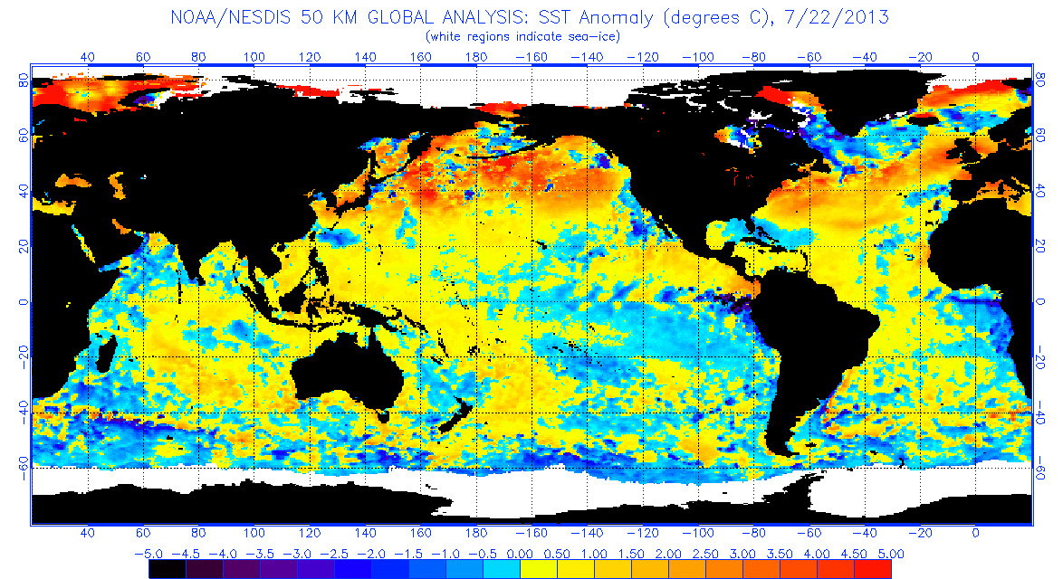
Mid-level dry air is also present to the north and south (especially) of the ITCZ over Africa and the tropical Atlantic which if you get a large enough system it will get ingested into it. This was a HUGE factor into why 2013 failed to achieve it's forecasted potential.
All in all this season could go anywhere from 1)A well below average season like 2014 in terms of numbers to B)A season like 2013 which produced about normal numbers but featured crappy quality storms. Then there is C)A season like last which struggled some until after the peak to produce really anything of significance and then bam we had Matthew, Nicole, and Otto which were 3 of our 4 majors in a row but at the end it had above average numbers. Then we have D)2010, 2011, or 2012 which were all low-end hyperactive seasons each featuring 19 named storms with 2010 being the best in terms of quality and 2012 being the worst (excluding Sandy).
Right now I'm starting to think an option like B is possible which is a season a lot like 2013 which features about average numbers but weak and short-lived storms.
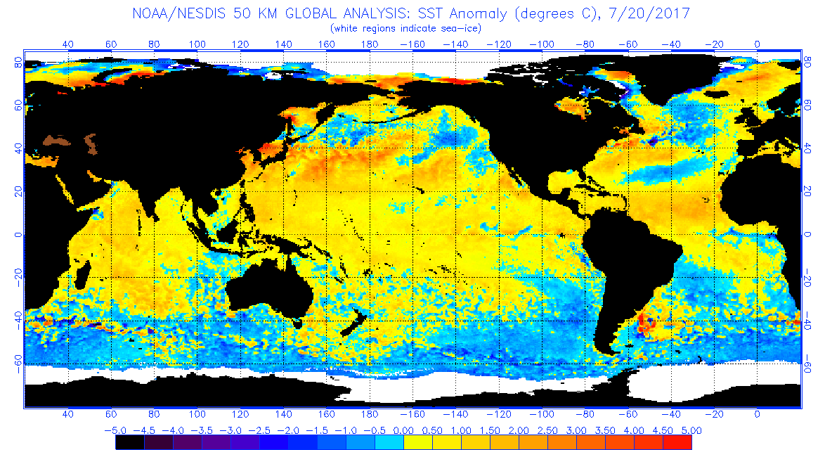
All of the above conditions are normal--the African dust doesn't really start declining until about the second week of August--and concerning 2008 Bertha actually struggled quite a bit until it exited the MDR (and that's a bad year to use as an example as well given we've had maybe 5-6 majors in July). Shear has been mostly below normal, with only a few spikes here and there. Dry air is also about where it should be at this point.
I need to stress again that 2013 had global problems with the ocean circulation, that affected global activity during most of summer--and we were already seeing signs of this (major cold weather outbreaks in the east, significant above normal rainfall, and what effectively amounts to a drought in the tropical Atlantic, as well as a linear shear pattern.)
I would say the chances of a 2013 repeat are maybe around 5% if not lower--it had unique conditions (similar to 2005) which can't really be used as a valid comparison to any other year.
And I'll point out more often than not, active seasons have late starts:
1998: there were literally no storms, not even a single depression, until July 27, and then nothing again until August 18. One storm totaling six days of activity in the first 80 days of the season. Final numbers 14/10/3 and 182 ACE.
1999: One storm in June (Arlene), lasting six days; and then nothing for the next two months--July and the first three weeks of activity were filled with nothing but SAL outbreaks. Final numbers 12/8/5 and 177 ACE.
2000: no storms at all (and only two June depressions) until August 4, and again major SAL outbreaks in July. Final numbers 15/8/4 and 116 ACE.
2001: Allison in June, then no storms again until August 2, and only three total storms in August--there were no hurricanes until Sep 10. Final numbers 15/9/4 and 106 ACE.
2004: nothing (not even a depression) until July 31, and only a few weak mid-latitude invests. Final numbers 15/8/6 and 225 ACE (though 2004 is as much an anomaly as 2005.)
2007: three very short-lived storms, widely spread apart--one in May, June, and the end of July, and no hurricanes until the third week of August. Final numbers 15/6/2 (including two Cat 5's) though with 72 ACE (low end of average)
2010: Despite having Alex in June (thanks to significantly lower base pressure than normal) there were only two more short-lived storms prior to August 20. Final numbers 19/12/5 and 165 ACE.
2011: Quantity over quality start to the season, four storms formed before Aug 1 and no hurricanes prior to the fourth week of August. Final numbers 19/7/4 and 163 ACE.
2012: Early start in May/June with mid-latitude activity, followed by absolutely nothing until the start of August. Final numbers 19/10/2 and 133 ACE.
2016: Exluding Alex (as it was in January, well before the season) there were three short-lived storms between late May and mid-June, and like 2012 absolutely nothing until the beginning of August. Final numbers 15/7/4 and 141 ACE.
Going back to 1995, only five seasons-1995, 1996, 2003, 2005, and 2008 had significant early-season activity, meaning 67% of seasons saw little to no early season or July activity.
The above post is not official and should not be used as such. It is the opinion of the poster and may or may not be backed by sound meteorological data. It is not endorsed by any professional institution or storm2k.org. For official information, please refer to the NHC and NWS products.