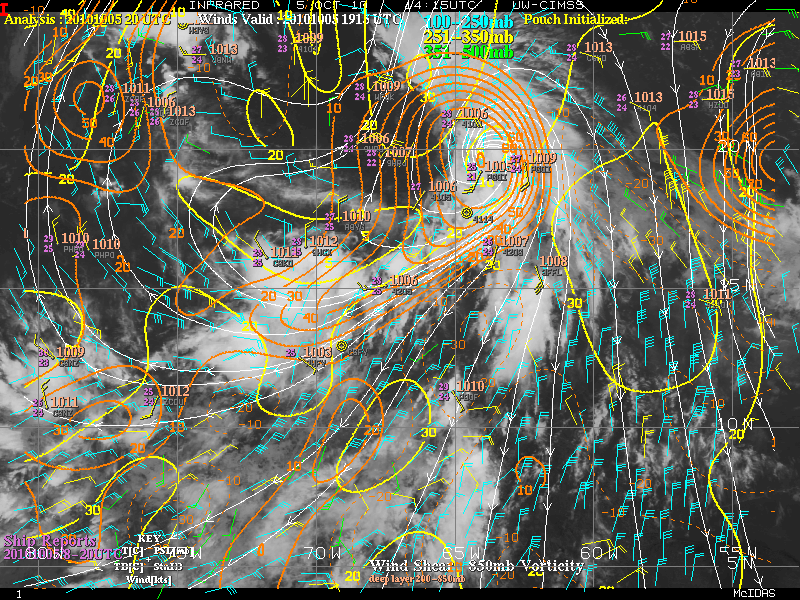
very impressive system, to say the least
Wave East of the Windward Islands
Moderator: S2k Moderators
Forum rules

The posts in this forum are NOT official forecasts and should not be used as such. They are just the opinion of the poster and may or may not be backed by sound meteorological data. They are NOT endorsed by any professional institution or STORM2K. For official information, please refer to products from the National Hurricane Center and National Weather Service.
-
HURAKAN

- Professional-Met

- Posts: 46084
- Age: 39
- Joined: Thu May 20, 2004 4:34 pm
- Location: Key West, FL
- Contact:
Wave East of the Windward Islands
very impressive system, to say the least
Last edited by HURAKAN on Tue Aug 10, 2010 8:32 am, edited 2 times in total.
0 likes

Its a biggie for sure, I'm guessing it'll probably serve as something of a catalyst for possibly getting something going out of that large ITCZ mass that has sat there for a while.
0 likes
Personal Forecast Disclaimer:
The posts in this forum are NOT official forecast and should not be used as such. They are just the opinion of the poster and may or may not be backed by sound meteorological data. They are NOT endorsed by any professional institution or storm2k.org. For official information, please refer to the NHC and NWS products
The posts in this forum are NOT official forecast and should not be used as such. They are just the opinion of the poster and may or may not be backed by sound meteorological data. They are NOT endorsed by any professional institution or storm2k.org. For official information, please refer to the NHC and NWS products
-
cycloneye

- Admin

- Posts: 149471
- Age: 69
- Joined: Thu Oct 10, 2002 10:54 am
- Location: San Juan, Puerto Rico
Re: Wave off African coast
If 93L develops, it may cause this wave to ride west as high pressure forms behind 93L.
0 likes
Visit the Caribbean-Central America Weather Thread where you can find at first post web cams,radars
and observations from Caribbean basin members Click Here
and observations from Caribbean basin members Click Here


The one behind that huge area of convective mess looks like Danielle to me....nice rotation....nice cdo already....this is just my opinion, and is not, in any way, official NHC speak 

Last edited by TexasF6 on Thu Aug 05, 2010 8:59 pm, edited 1 time in total.
0 likes
-
Gustywind

- Category 5

- Posts: 12334
- Joined: Mon Sep 03, 2007 7:29 am
- Location: Baie-Mahault, GUADELOUPE
Re:
TexasF6 wrote:The one behind that huge area of convective mess looks like Danielle to me....nice rotation....nice cdo already....this is just my opinion, and is not, in any way, official NHC speak
So change it
0 likes
Re: Wave off African coast
Hey Gustywind! I'm not sure how to upload...i have tried...but to no sucess 
0 likes

Re: Wave off African coast
IMHO there's an outside chance that we could get Danielle and Earl out of 93L and this system. Would say better than even odds that we get Danielle out of either 93L or this.
Cycloneye, you suggested that if 93L develops it could cause high pressure to push this wave more west, as opposed to wnw or nw? Why would this be the case? Do ridges usually build in following cyclones that curve north?
Cycloneye, you suggested that if 93L develops it could cause high pressure to push this wave more west, as opposed to wnw or nw? Why would this be the case? Do ridges usually build in following cyclones that curve north?
0 likes


-
StormClouds63
- Category 2

- Posts: 583
- Age: 62
- Joined: Tue May 13, 2008 11:56 am
- Location: Southwest Louisiana
Re: Wave off African coast
I don't think both systems develop ... 2nd wave looks more impressive this evening. 93L very disorganized. Does the future Danielle go fishing with Colin or stay more west? I'm not sure. Perhaps if it develops quickly, more likely for recurvature?
0 likes
-
Gustywind
- Category 5
- Posts: 12334
- Joined: Mon Sep 03, 2007 7:29 am
- Location: Baie-Mahault, GUADELOUPE
Tropical Weather Discussion
Issued: Friday, August 6, 2010 635 am EDT/535 am CDT
 http://www.crownweather.com/?page_id=325
Elsewhere In The Tropical Atlantic:
There is still plenty more to talk about this morning, so go grab that second cup of coffee, I know I am before I continue writing.
There is another system to mention that has just moved off of the coast of Africa and is located near 25 West Longitude or due south of the Cape Verde Islands. I see no reasons why this system will not develop. The only thing that may this particular system from developing is if it gets too close to Invest 93-L/Danielle. So, this system will also be closely monitored over the coming days.
If this isn’t enough for you, another tropical disturbance now located over west-central Africa near 5 East Longitude will track into the eastern Atlantic early next week and may also be a candidate for development later next week.
Issued: Friday, August 6, 2010 635 am EDT/535 am CDT
Elsewhere In The Tropical Atlantic:
There is still plenty more to talk about this morning, so go grab that second cup of coffee, I know I am before I continue writing.
There is another system to mention that has just moved off of the coast of Africa and is located near 25 West Longitude or due south of the Cape Verde Islands. I see no reasons why this system will not develop. The only thing that may this particular system from developing is if it gets too close to Invest 93-L/Danielle. So, this system will also be closely monitored over the coming days.
If this isn’t enough for you, another tropical disturbance now located over west-central Africa near 5 East Longitude will track into the eastern Atlantic early next week and may also be a candidate for development later next week.
0 likes

-
ConvergenceZone
.gif)
- Category 5
- Posts: 5241
- Joined: Fri Jul 29, 2005 1:40 am
- Location: Northern California
-
CourierPR

- Category 5
- Posts: 1336
- Age: 72
- Joined: Tue Aug 31, 2004 7:53 pm
- Location: Pompano Beach, Florida
Re:
Have you looked at the sat loop in the post before yours?ConvergenceZone wrote:The once robust convection in the Atlantic 2 days ago, seems to have all but faded. Just when I thought the switch was ready to turn on...It pulls a head fake and once again, not much to talk about....
0 likes
-
ConvergenceZone
- Category 5
- Posts: 5241
- Joined: Fri Jul 29, 2005 1:40 am
- Location: Northern California
Re: Wave off African coast
Yes, that's what I looked at. 2 days ago there was an insane amount of convection, much much more than compared to now.
0 likes
Who is online
Users browsing this forum: prairie2 and 200 guests