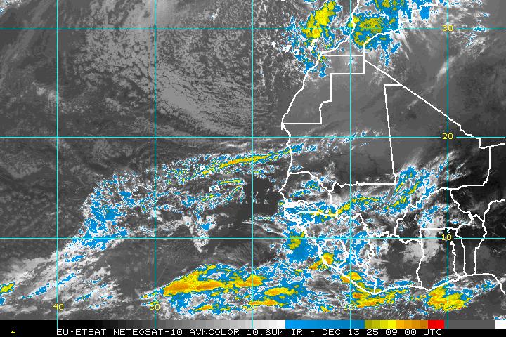
SYNOPSIS 2011080500
P14L
10N, 8W
700 hPa
Convective burst just ending at 00Z.
ECMWF: Like the other models, ECMWF depicts a relatively strong pouch coming off of Africa. However, unlike all the other models, ECMWF is weak at the beginning and end of the period. The analysis depicts a monsoon trof with several small OW maxima, of which, the one that becomes P14L is not the most intense. After a few days, the eventually strong pouch stops its westward motion (interaction with the next wave to the east?), and begins to weaken, to the point of dissipation after 108 hours.
GFS: The first strong pouch to come off of Africa in a long time (first of the season?). Intensifies and maintains an easily-tracked pouch for all five days, although the OW values indicate some weakening after Day 3.
UKMET: Similar to GFS.
NOGAPS: Jumps "off of Africa" between 12 and 24 hours, then becomes almost stationary as an ITCZ eddy. Eventually, it moves slowly to the west.
HWRF-GEN: Fastest phase speed. Except for the common, small-scale, double CL-trof intersections within the large circulation while over Africa near the beginning of the forecast, P14L is a large pouch with a distinct center position.
ECMWF -4.4 v700 108h
GFS -5.9 v700 120h
UKMET -5.4 v700 120h
NOGAPS -3.9 v700 120h
HWGEN -7.1 v700 120h


