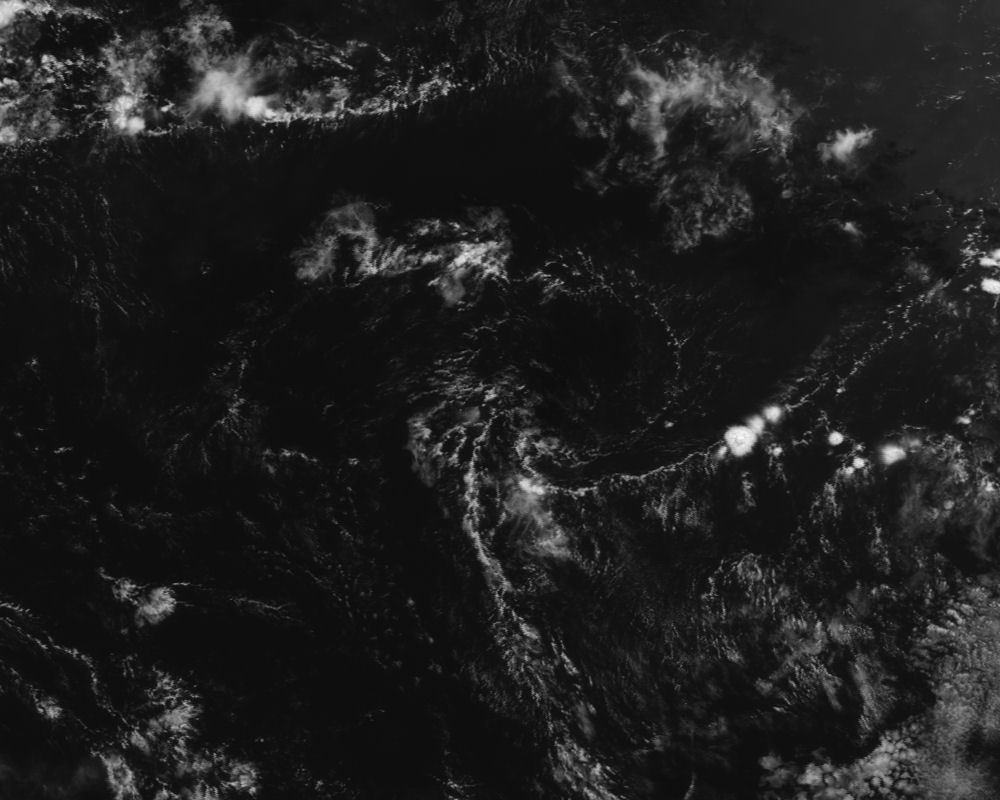
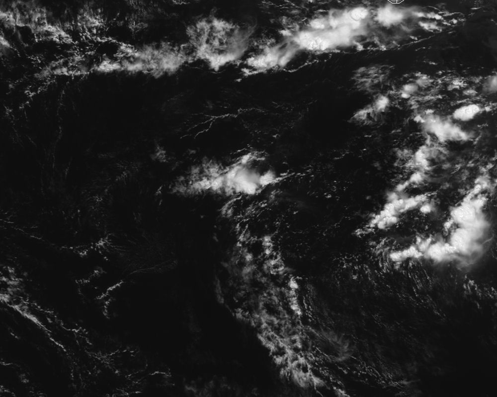
The 1991 "Angola Cyclone"

This is the general tropical discussion area. Anyone can take their shot at predicting a storms path.

Moderator: S2k Moderators

Forum rules

The posts in this forum are NOT official forecasts and should not be used as such. They are just the opinion of the poster and may or may not be backed by sound meteorological data. They are NOT endorsed by any professional institution or STORM2K. For official information, please refer to products from the National Hurricane Center and National Weather Service.

Help Support Storm2K
Message
Author
User avatar
AJC3
Admin
Admin
Posts: 3868
Age: 60
Joined: Tue Aug 31, 2004 7:04 pm
Location: West Melbourne, Florida
Contact:

The 1991 "Angola Cyclone"

#1 Postby AJC3 » Mon Oct 20, 2014 7:50 pm

Gang,

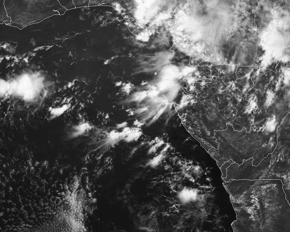
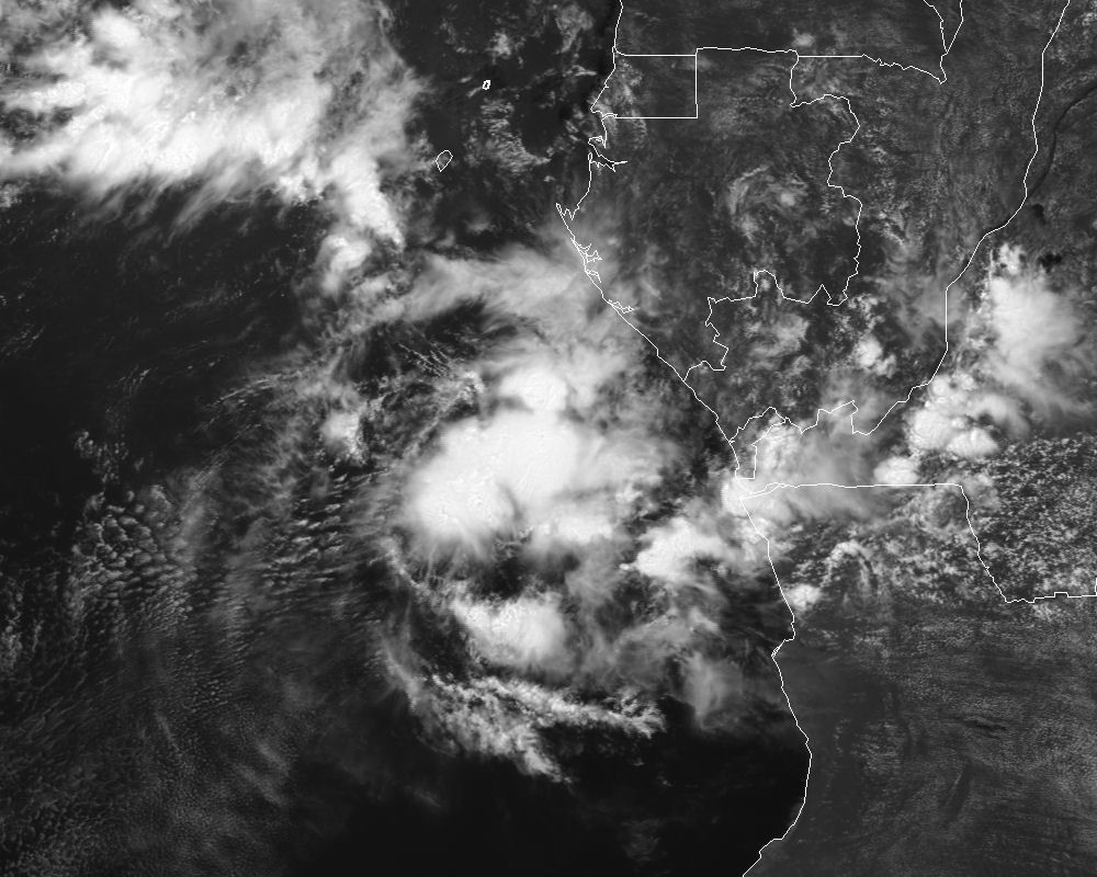
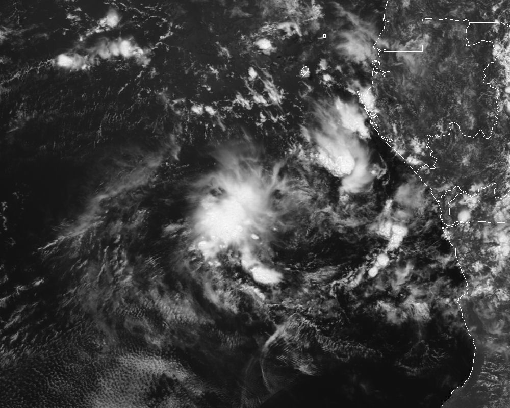
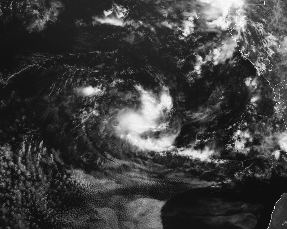
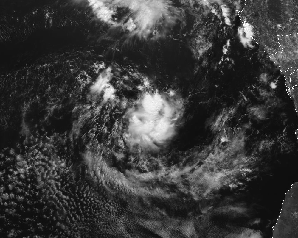
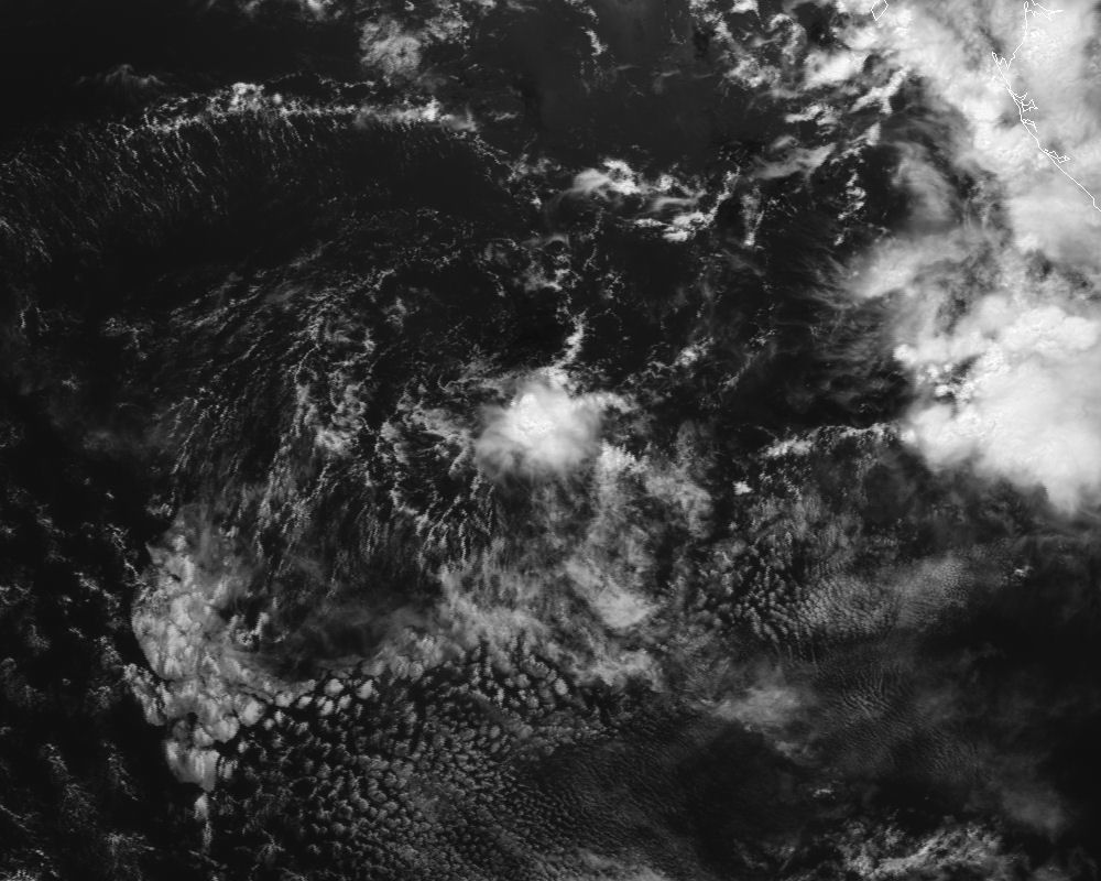
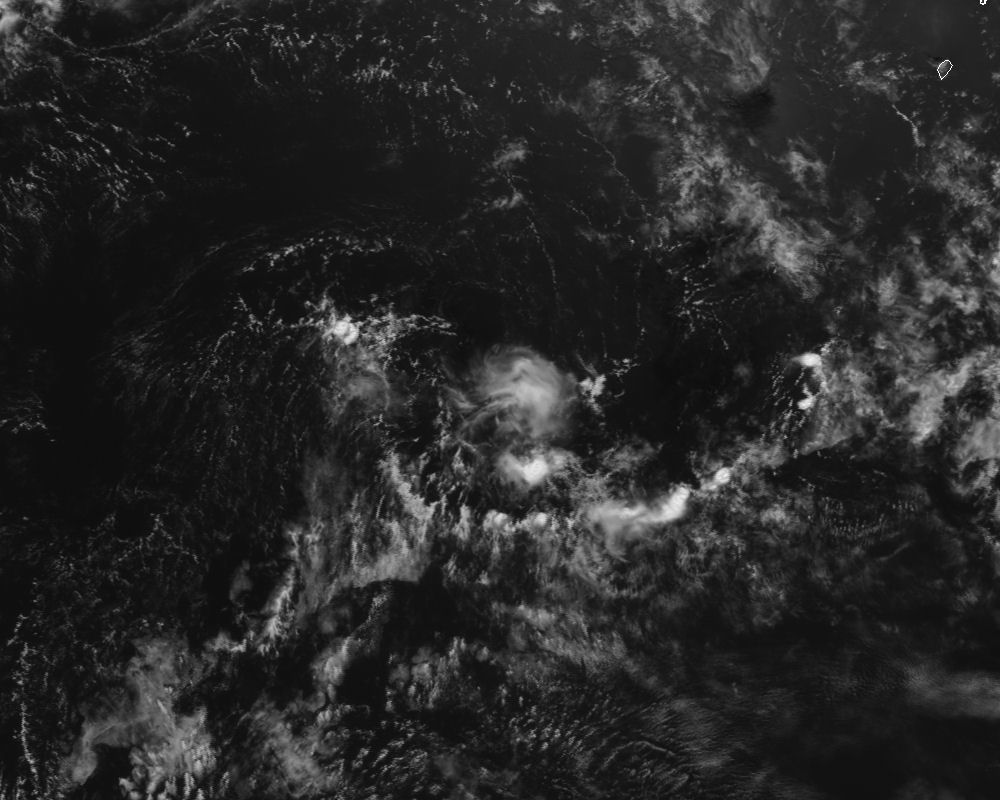
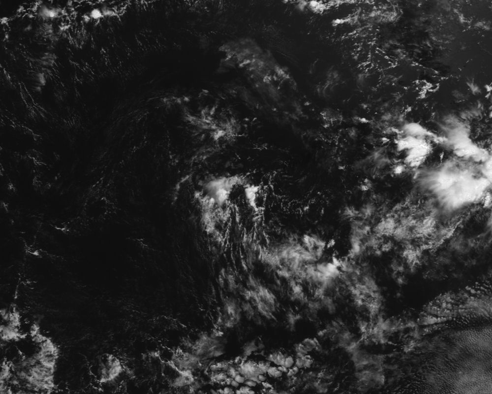
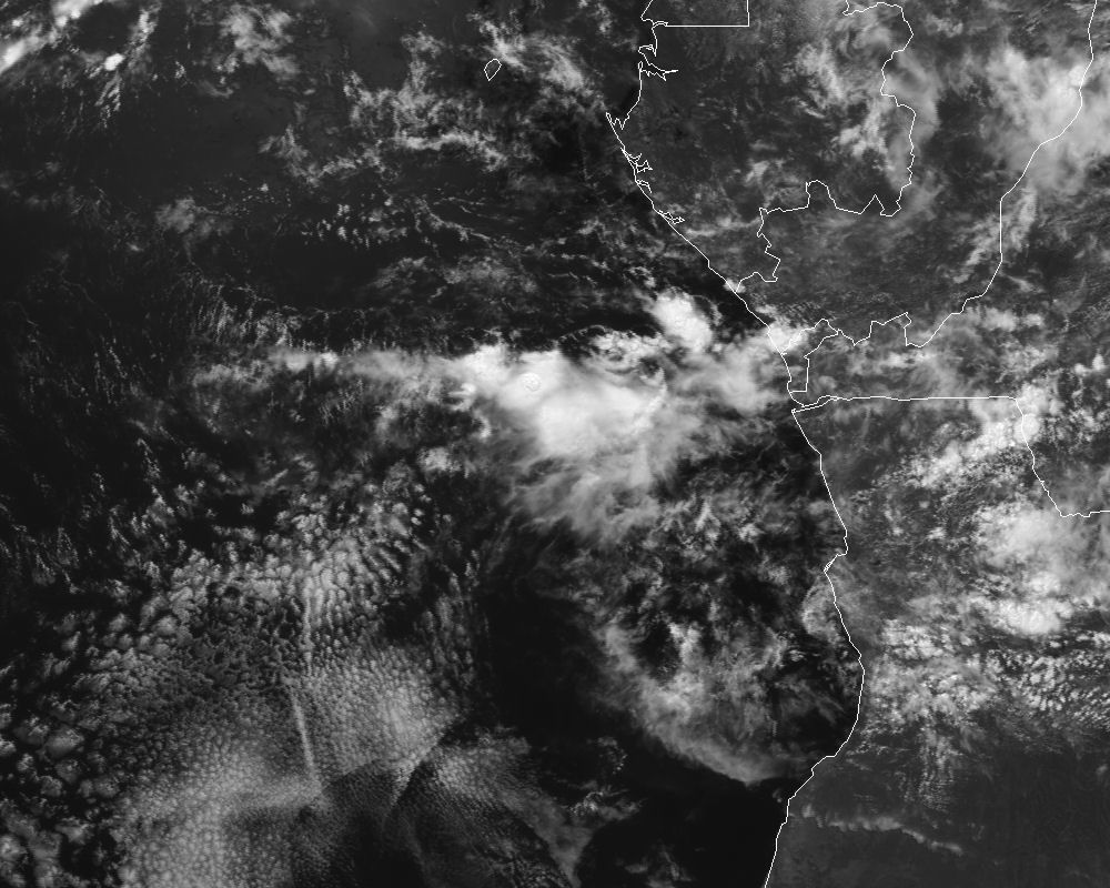
I recently acquired from EUMETSAT Meteosat-4 full disk imagery covering the period from 8-18 APR 1991. This time frame covers the brief life cycle of the infamous "Angola Tropical Cyclone" in the southeastern Atlantic Ocean off the west coast of Africa from genesis through dissipation. This dataset includes all 3 channels (Visible, Infrared, and Water Vapor) at 30-minute intervals. I ordered both the raw satellite data, as well as tiff image format.

Over the course of the coming weeks, I hope to put together some pretty sweet satellite loops, perhaps adding some sort of enhancements (low-lght vis and colorized IR/WV). I plan on soliciting some help from some of the tropical/satellite folks I know over at CIMSS.

If you have any thoughts or suggestions on what you think would look pretty cool, post them here in the thread, and I'll see what can be done.

I thought I'd share a few quick storm-centered crops I made from the images at 1200 UTC each day. Enjoy!

4/8/91
Image

4/9/91
Image

4/10/91
Image

4/11/91
Image

4/12/91
Image

4/13/91
Image


4/14/91
Image

4/15/91
Image


4/16/91
Image


4/17/91
Image


4/18/91
Image
0 likes   

404UserNotFound
Tropical Depression
Tropical Depression
Posts: 57
Joined: Sun Dec 01, 2013 6:21 pm
Location: Near Antipodes of Crozet Islands

#2 Postby 404UserNotFound » Tue Oct 21, 2014 8:25 pm

Actually seems to look surprisingly bad.
0 likes   
Please note: Never take any statements I make about forecasts at face value, as I am nowhere near professional at that.

User avatar
AJC3
Admin
Admin
Posts: 3868
Age: 60
Joined: Tue Aug 31, 2004 7:04 pm
Location: West Melbourne, Florida
Contact:

#3 Postby AJC3 » Tue Oct 21, 2014 11:15 pm

404UserNotFound wrote:Actually seems to look surprisingly bad.


Yep. Based on the images I've seen, I seriously doubt this system every reached TS strength. After 4/13, it's presentation degraded to the point where noone would have considered it a TC anymore. The images from 4/14 through 4/18 show nothing but skeletal remains are included simply for continuity.
0 likes   

User avatar
galaxy401
Category 5
Category 5
Posts: 2298
Age: 28
Joined: Sat Aug 25, 2012 9:04 pm
Location: Casa Grande, Arizona

#4 Postby galaxy401 » Fri Oct 24, 2014 3:43 pm

Interesting system. I agree that it probably didn't reach TS strength but it definitely was trying to spin up.
0 likes   
Got my eyes on moving right into Hurricane Alley: Florida.


Return to “Talkin' Tropics”

Who is online

Users browsing this forum: KirbyDude25, Landy, StPeteMike, TheAustinMan, tolakram, USTropics and 82 guests