#169 Postby Dean_175 » Tue May 05, 2015 6:11 pm
I know its a bit late for me to post this about the 12Z run but:
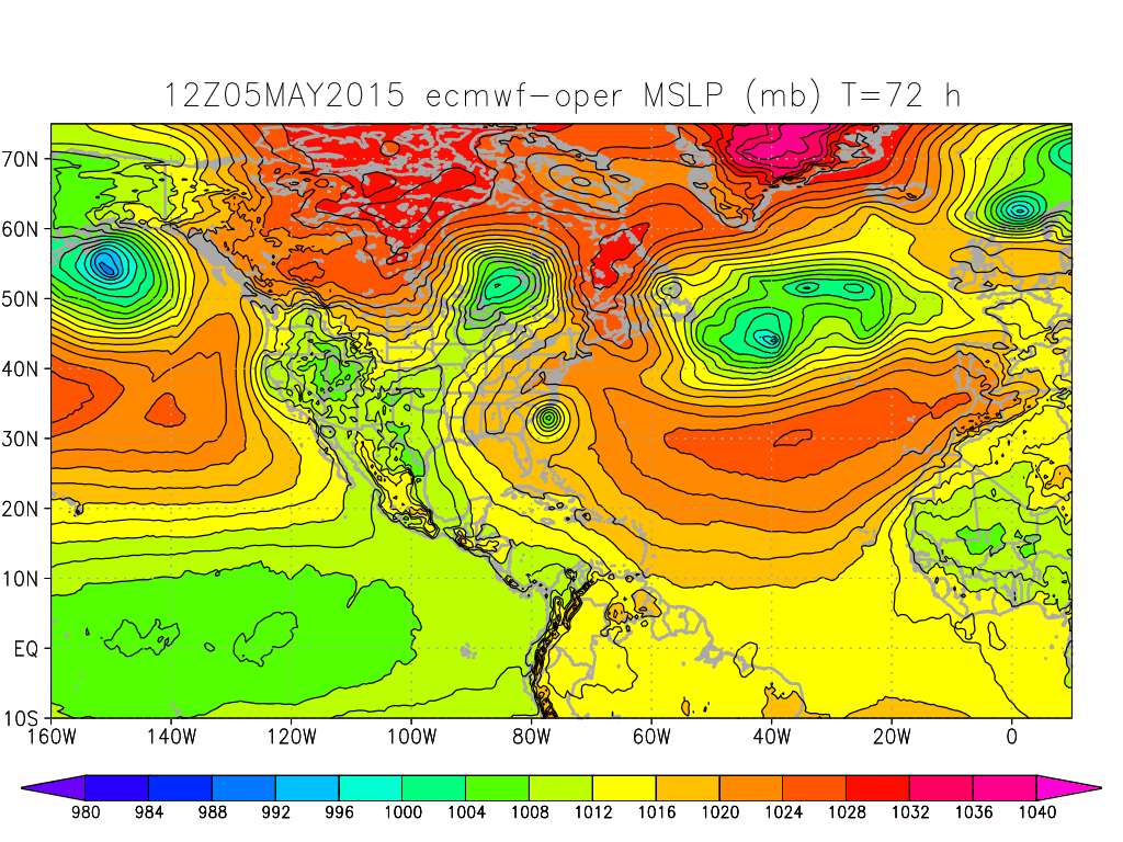
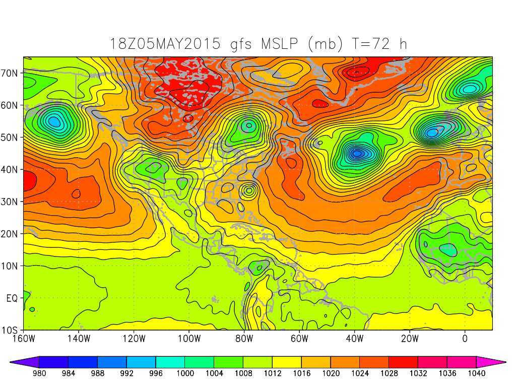
I can't post any pics- but the upper level trough is currently over the gulf of Mexico(12Z). The 12Z GFS and the 12Z NAM run show it becoming more negatively tilted as it moves over Florida and into the Atlantic tomorrow and Thursday- which will provide favorable upper level divergence above where the low near the surface is forming. The forecast conditions at the upper level (height contour,etc) seem to be consistent with the predicted pattern of precipitation and the movement of convection towards the center in a manner typical of subtropical cyclogenesis.
The GFS and NAM (12Z) are both showing precipitation and isobar patterns on Thursday and Friday that may be consistent with the formation of a subtropical system. however they are also showing some possible weak frontal characteristics. NAM is showing some front-like surface temp advection pattern next few days,though no frontal characteristics at 850mb by Thursday.
Last edited by
Dean_175 on Tue May 05, 2015 6:38 pm, edited 2 times in total.
0 likes
All posts by Dean_175 are NOT official forecasts and should not be used as such. They are just the opinion of the poster and may or may not be backed by sound meteorological data. They are NOT endorsed by any professional institution or storm2k.org. For official information, please refer to the NHC and NWS products.


 Huh? Is it June already?