Moderator: S2k Moderators


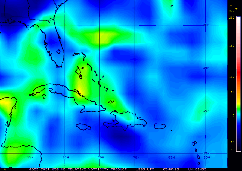
TheStormExpert wrote:Wind Shear is going to have to decrease a GOOD DEAL in order to allow any type of development to occur. Currently there is about 40-50kts. of wind shear over the area of interest and it looks to only be decreasing 10kts. which is not enough.
TheStormExpert wrote:Wind Shear is going to have to decrease a GOOD DEAL in order to allow any type of development to occur. Currently there is about 40-50kts. of wind shear over the area of interest and it looks to only be decreasing 10kts. which is not enough.
[img]http://i58.tinypic.com/2ugzcjc.gif[ /img]
[img]http://i62.tinypic.com/330wvp5.gif[ /img]


panamatropicwatch wrote:Well if the windshear is forecast to diminish during the next couple of days, there is potential. Currently there does not appear to be anything to move these disturbed areas before that time.


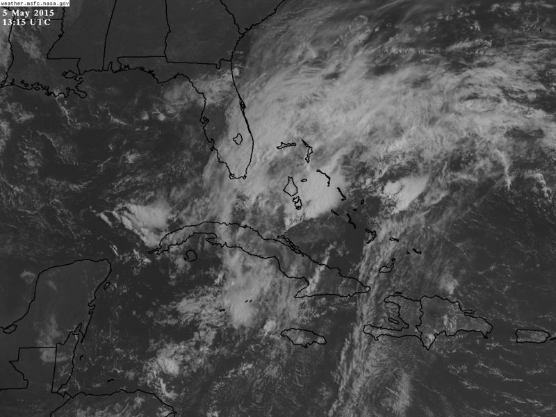
Hypercane_Kyle wrote:I expect our AOI to be tagged 90L today. I don't see much indication that a surface low is forming right now, although I admit to not looking very hard.
http://i.imgur.com/qz0zoW4.gif

Hurricaneman wrote:Hypercane_Kyle wrote:I expect our AOI to be tagged 90L today. I don't see much indication that a surface low is forming right now, although I admit to not looking very hard.
http://i.imgur.com/qz0zoW4.gif
Id look just west of Andros Island as that seems to be where I see a diffuse low
The posts in this forum are NOT official forecast and should not be used as such. They are just the opinion of the poster and may or may not be backed by sound meteorological data. They are NOT endorsed by any professional institution or storm2k.org. For official information, please refer to the NHC and NWS products.
Users browsing this forum: JetFuel_SE and 174 guests