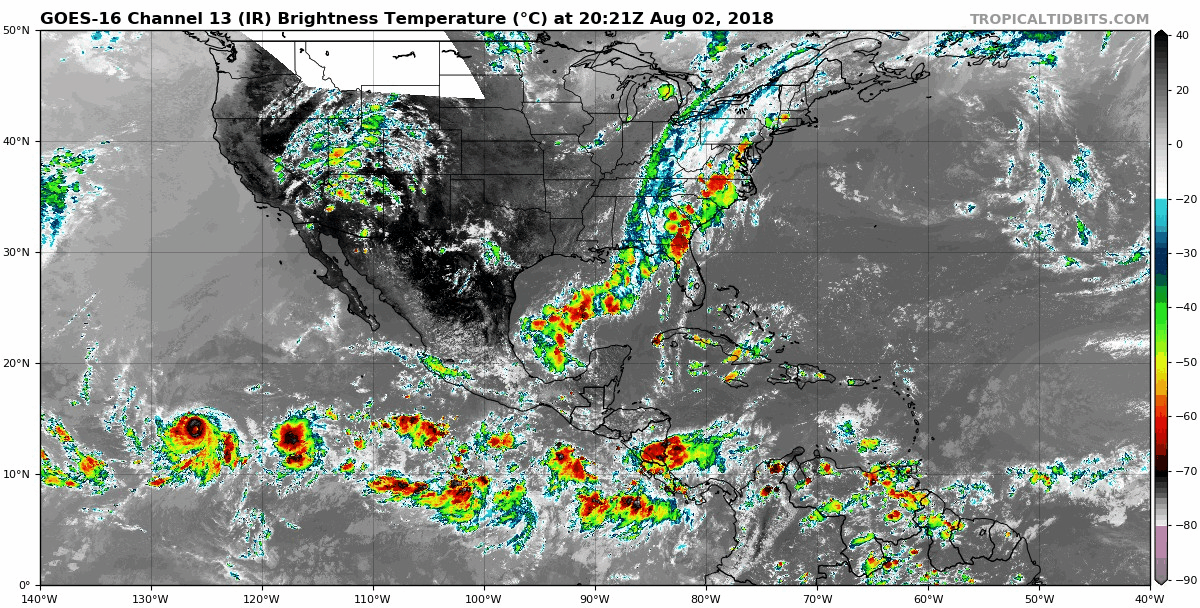
An area of low pressure is forecast to form several hundred miles
south or southwest of the Gulf of Tehuantepec late this week.
Environmental conditions are expected to be conducive for gradual
development of this system over the weekend, and a tropical
depression could form early next week while it moves
west-northwestward off the coast of Mexico.
* Formation chance through 48 hours...low...near 0 percent.
* Formation chance through 5 days...medium...50 percent.