


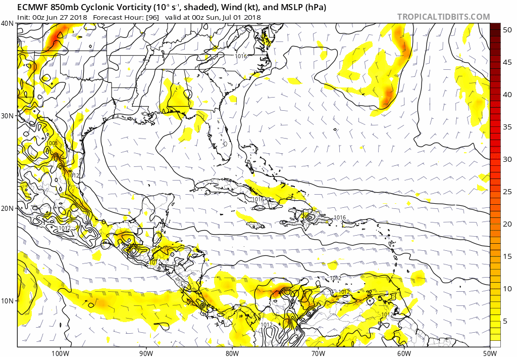
wxman57 wrote:12Z EC is much weaker with the northern Gulf disturbance next week. Just a bit of rain. No TS development. Closer to what the GFS is predicting. Rainy 4th of July for SE TX, perhaps. Here's a side-by-side comparison:
http://wxman57.com/images/EC.JPG
Will depend largely on where it goes. In the more likely scenario, the system will remain inland, have no chance of development and will only be a rainmaker. There is also an unlikely but not impossible scenario where the disturbance is over water and develops slightly. Some of the 12z EPS ensembles have some weak development over the NW GOM FWIW.


