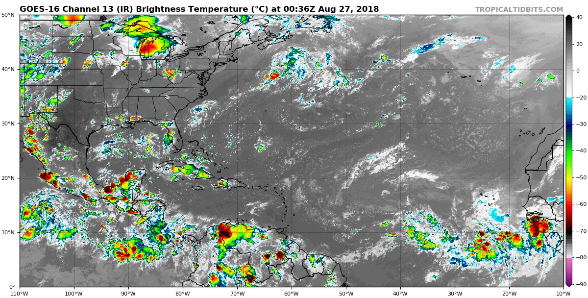
gatorcane wrote:Another monster wave about to make the splash. Sooner or later you got to assume one of these waves will end up developing:
[img]https://s8.postimg.cc/zbde3dgv9/goes16_ir_eatl_201808252336.jpg
They still seem like they're coming off too far north. It shows up in the models too, it looks like when the models show development, as they back off watch the point of exit creep further and further north at the same time, but the question I have is why they're coming off this high in the first place.