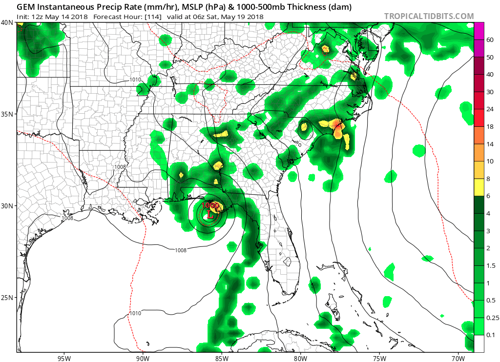
gatorcane wrote:CMC coming in more bullish down to 1000MB before landfall:
that's the Caribbean system, not our current system
Moderator: S2k Moderators

gatorcane wrote:CMC coming in more bullish down to 1000MB before landfall:

cycloneye wrote:@pppapin
15z 14 May update: Radar suggests a new llvl vortex may be developing from the overnight convection offshore Tampa. In the meantime, plenty of heavy rainfall over #Florida today associated w/ the disturbance over the Gulf of Mexico.
[tweet]https://twitter.com/pppapin/status/996052434110709760[/twet]


wxman57 wrote:Low-level circulation is reforming NE of this morning's position near 26N/83.6W. Winds across the NE Gulf remain light - 10-12 kts. Surface pressure is relatively high (1012-1013mb). Don't think we'll get much more than a weak low that could be classified as a TD or STD out of this. Not much wind, and not much rain.


Aric Dunn wrote:It is doing a large cyclonic loop as the overall larger gyre consolidates.. convection will likely start to develop shortly as this feature "rounds the turn"... if convection builds.. well then chances will likely go up to 60 to 70 later.
Steve wrote:wxman57 wrote:Low-level circulation is reforming NE of this morning's position near 26N/83.6W. Winds across the NE Gulf remain light - 10-12 kts. Surface pressure is relatively high (1012-1013mb). Don't think we'll get much more than a weak low that could be classified as a TD or STD out of this. Not much wind, and not much rain.
Rain looks like a given though. Just offshore of Key West, there are some 10" totals coming in for the last 36 hours on the radar estimates. It's mostly in the 5ish inch range, and there are no special hazards/warnings on the Peninsula or islands beyond the marine warnings. But I'd bet there will be some 8-10"+ amounts over the next few days.
https://radar.weather.gov/ridge/radar.p ... 11&loop=no
Users browsing this forum: cycloneye, duilaslol, Google Adsense [Bot], Hurricanehink, MGC, TheAustinMan, zal0phus and 121 guests

