Here's a satellite image to get us started off...

Moderator: S2k Moderators


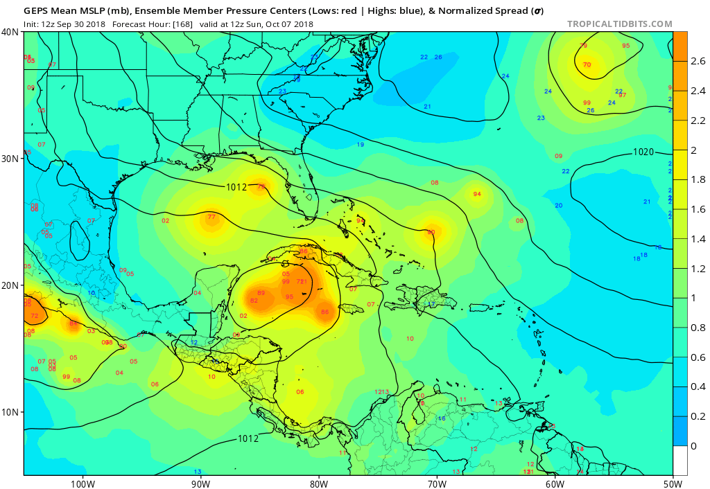
LarryWx wrote:12Z EPS: I count close to 30 TCs from the 51 members with ~17 Hs, 7 of which slam into FL 10/10-15 along with one near miss and several TSs. All of the 7 that hit FL come off the Gulf with the highest concentration Big Bend to Ft. Myers. Parts of every state TX-NC get hit by at least one member within the 10/10-15 timeframe though in some cases in the SE US from overland.
KUEFC wrote:LarryWx wrote:12Z EPS: I count close to 30 TCs from the 51 members with ~17 Hs, 7 of which slam into FL 10/10-15 along with one near miss and several TSs. All of the 7 that hit FL come off the Gulf with the highest concentration Big Bend to Ft. Myers. Parts of every state TX-NC get hit by at least one member within the 10/10-15 timeframe though in some cases in the SE US from overland.
Can I ask how you view this model?


Aric Dunn wrote:So the key factor right now for the next 48 hours is this upper low moving wsw off of cuba..
the models are in two camps. the models that keep a coherent system and those that spin up multiple vorts.
those that spin up multiple vorts and have a sheared out troughy mess that takes the upper low wsw then sw to just offshore Belize in the next 24 to 36 hours which creates/maintains this high sw to ne shear axis this of course will keep any surface feature slowly migrating to the NE as sheared system.
the camp that takes the upper low wsw then wnw ending up in the southern gulf which creates a much better environment.
all in all where that upper low goes in the next 36 hours will be key.
https://pli.io/osUdY.gif


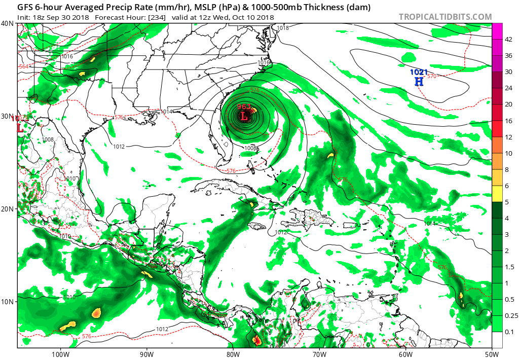
WeatherEmperor wrote:18z GFS
https://uploads.tapatalk-cdn.com/20180930/3d2d35a0768280bb2950a2715cd97ce9.png
Sent from my iPhone using Tapatalk
Users browsing this forum: NotSparta and 148 guests