#38 Postby Aric Dunn » Sat Sep 05, 2020 3:02 pm
USTropics wrote:TheStormExpert wrote:Aric Dunn wrote:The ridge weakens because of the interaction between 92l and the wave behind it.
the wave behind it catches up to 92l and then gets thrown NNW into the ridging creating a weakness and then 92L follow it.
SO we just have to keep waiting. because that scenario is highly unlikely.
Which scenario is highly unlikely?
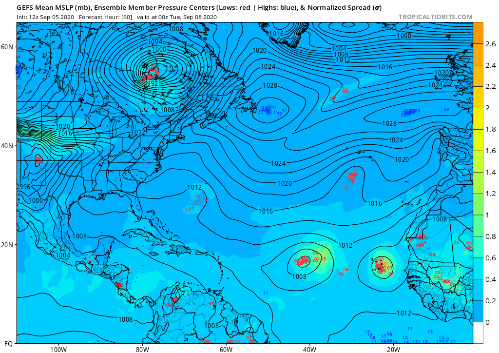
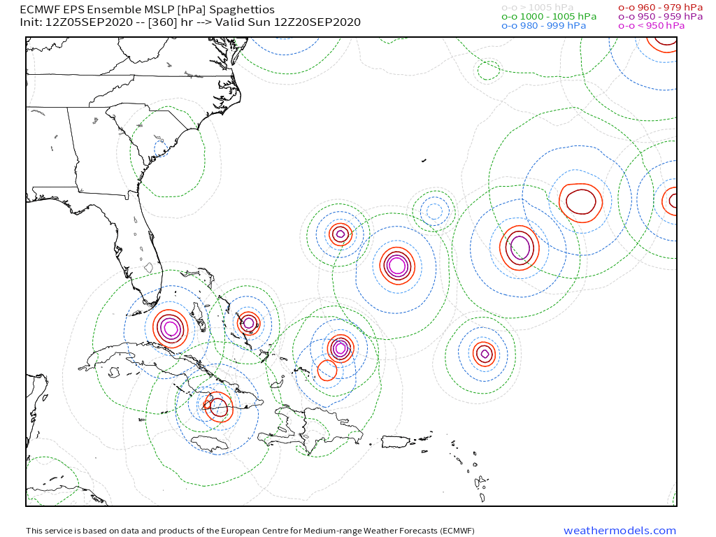
The interaction with 92L and the wave behind it. The ECMWF ensembles pretty much paints the same picture. Members are split on the GFS solution (where 92L does not interact with the ridge and weaken it) and the ECMWF solution (recurving):
https://i.imgur.com/sb627Zq.png
Exactly.
I have been mentioning for a couple of days now when all the "recurve" talk started that the ridge weakening was not from a trough but rather from the interaction with the next wave being thrown north of 92L.
This interaction is very unlikely to happen given the distance between them currently.
5 likes
Note: If I make a post that is brief. Please refer back to previous posts for the analysis or reasoning. I do not re-write/qoute what my initial post said each time.
If there is nothing before... then just ask

Space & Atmospheric Physicist, Embry-Riddle Aeronautical University,
I believe the sky is falling...


