#519 Postby Blown Away » Thu Oct 29, 2020 4:39 pm
NDG wrote:supercane4867 wrote:supercane4867 wrote:Just because it crossed over into EPAC doesn't necessarily mean it can't go back to the Atlantic side...
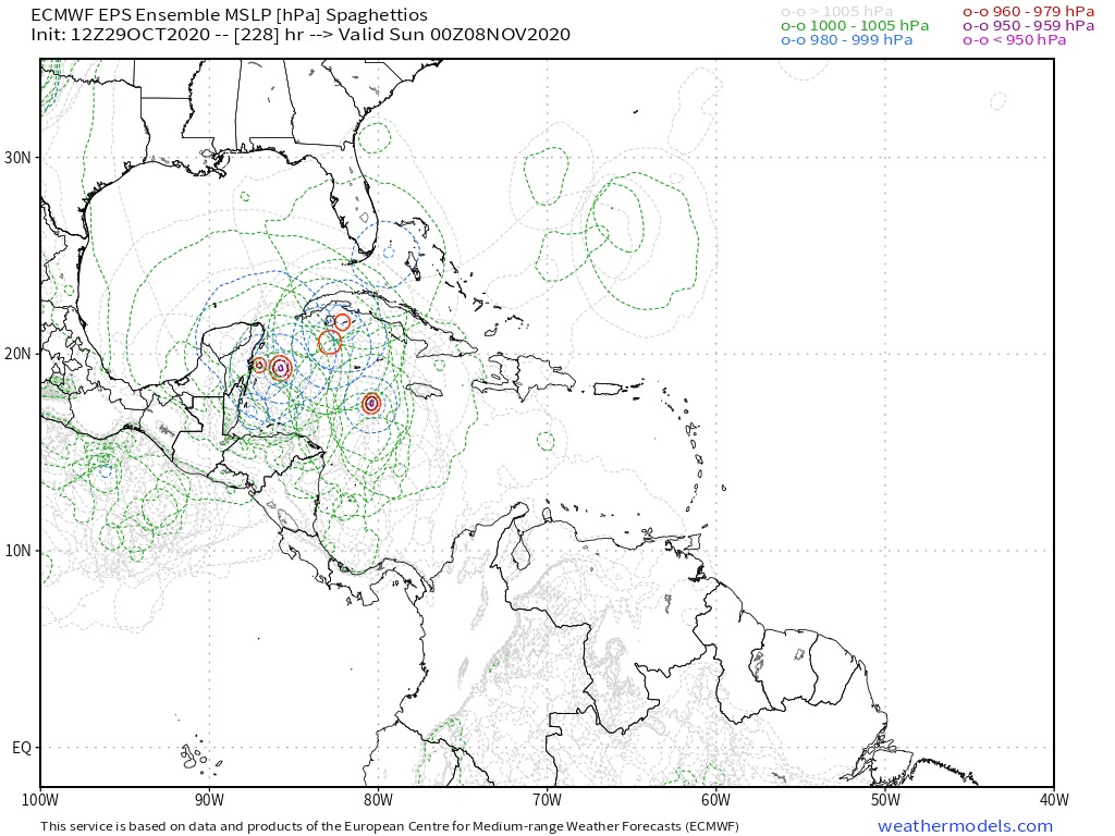
As I said, Mitch almost touched EPAC waters after moving inland over Central America. Ensemble runs do imply a similar setup(stall over Honduras or even into EPAC before eventually getting lifted)
https://i.imgur.com/opEqWl4.png
I remember Mitch, it was supposed to eventually move northward towards the US quicker than what it actually happened, by it staying inland longer than forecasted it was a much weaker system after it re-emerged over water.
It moved across the FL peninsula and exited @WPB... If I remember correctly it was @65mph TS... It was moving fast at that time and cool storm to watch that didn’t create a bunch of damage...
0 likes
Hurricane Eye Experience: David 79, Irene 99, Frances 04, Jeanne 04, Wilma 05...
Hurricane Brush Experience: Andrew 92, Erin 95, Floyd 99, Matthew 16, Irma 17, Ian 22, Nicole 22…


