2021 Indicators: SST's / SAL / MSLP / Shear / Steering / Instability / Sat Images
Moderator: S2k Moderators
Forum rules

The posts in this forum are NOT official forecasts and should not be used as such. They are just the opinion of the poster and may or may not be backed by sound meteorological data. They are NOT endorsed by any professional institution or STORM2K. For official information, please refer to products from the National Hurricane Center and National Weather Service.

Re: 2021 Indicators: SST's / SAL / MSLP / Shear / Steering / Instability / Sat Images
We should probably not count Kate and Odette as named storms, especially Odette, which looks god awful on ASCAT right now and does not look like it was ever a TC. 2021 has only had 13 NS that were without a doubt bona fide tropical cyclones.
4 likes
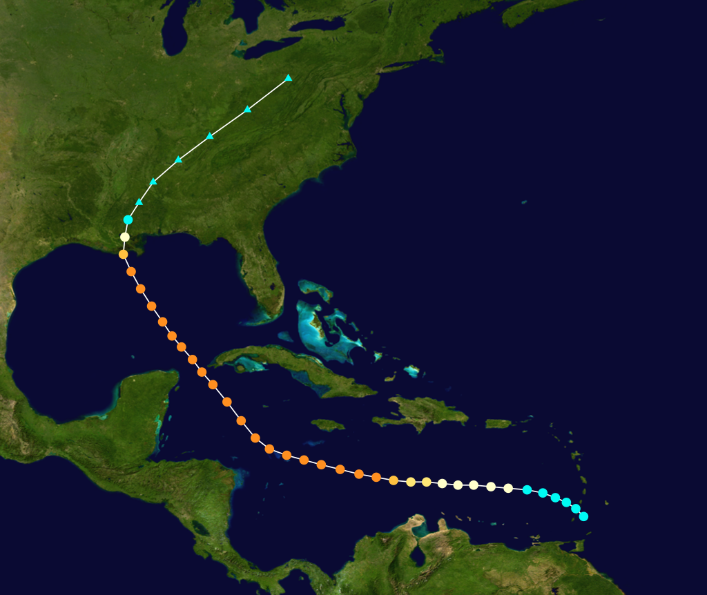
Irene '11 Sandy '12 Hermine '16 5/15/2018 Derecho Fay '20 Isaias '20 Elsa '21 Henri '21 Ida '21
I am only a meteorology enthusiast who knows a decent amount about tropical cyclones. Look to the professional mets, the NHC, or your local weather office for the best information.
I am only a meteorology enthusiast who knows a decent amount about tropical cyclones. Look to the professional mets, the NHC, or your local weather office for the best information.
-
Category5Kaiju

- Category 5

- Posts: 3351
- Age: 22
- Joined: Thu Dec 24, 2020 12:45 pm
- Location: Seattle
Re: 2021 Indicators: SST's / SAL / MSLP / Shear / Steering / Instability / Sat Images
aspen wrote:We should probably not count Kate and Odette as named storms, especially Odette, which looks god awful on ASCAT right now and does not look like it was ever a TC. 2021 has only had 13 NS that were without a doubt bona fide tropical cyclones.
I mean, I guess? But of course the NHC is the agency that has the final call with naming or classifying these systems and should have had a good reason to do so, so yes, while Kate and Odette looked horrendous visually, they had a closed LLC that was maintained at least for a bit and had at least 40 mph winds. So imho they are still TSs by definition, although not visually appealing.
5 likes
Unless explicitly stated, all information covered in my posts is based on my opinions and observations. Please refer to a professional meteorologist or an accredited weather research agency otherwise, especially if serious decisions must be made in the event of a potentially life-threatening tropical storm or hurricane.

Re: 2021 Indicators: SST's / SAL / MSLP / Shear / Steering / Instability / Sat Images
Hammy wrote:CFS performed remarkably well 2-3 months out for September, showing 1-2 long trackers (as we could still have a second) with mostly weaker storms over the open Atlantic (no clue on GoM as the maps consistently wouldn't load)
Interesting that this year is behaving similarly to 2007, another La Nina year, with having a short period of rapidly intensifying storms in the western basin (Dean/Felix and Grace/Ida) and a storm rapidly intensifying to hurricane close to Texas (Humberto/Nicholas) with most of the Atlantic itself featuring shorter-lived, highly sheared systems--with Larry being a glaring difference.
Did 2007 feature similar below-normal global activity?
2007 EPAC season only had 1 major and the ACE total for the EPAC that year was only 52 which is the 2nd lowest in the satellite era.
2 likes

Re: 2021 Indicators: SST's / SAL / MSLP / Shear / Steering / Instability / Sat Images
aspen wrote:We should probably not count Kate and Odette as named storms, especially Odette, which looks god awful on ASCAT right now and does not look like it was ever a TC. 2021 has only had 13 NS that were without a doubt bona fide tropical cyclones.
This assertion makes absolutely no sense given both fit the criteria when they were upgraded. Odette certainly should have been declared subtropical (rather than tropical) but otherwise fit the criteria, and had a well defined circulation near the convection at the time it was actually upgraded, while Kate's intensity was confirmed by ASCAT and if anything was probably a tropical storm for some time before being upgraded.
Both were upgraded based on real time data, rather than skipping existing systems based on how they may or may not look later, something that seems like it's already been done too often as it is.
5 likes
The above post is not official and should not be used as such. It is the opinion of the poster and may or may not be backed by sound meteorological data. It is not endorsed by any professional institution or storm2k.org. For official information, please refer to the NHC and NWS products.
-
AxaltaRacing24
- Category 5
- Posts: 1709
- Age: 23
- Joined: Wed Jul 27, 2016 11:14 am
- Location: Jupiter, FL
Re: 2021 Indicators: SST's / SAL / MSLP / Shear / Steering / Instability / Sat Images
aspen wrote:We should probably not count Kate and Odette as named storms, especially Odette, which looks god awful on ASCAT right now and does not look like it was ever a TC. 2021 has only had 13 NS that were without a doubt bona fide tropical cyclones.
no. we’re not doing this bs again…
7 likes
-
AlphaToOmega
- Category 5
- Posts: 1448
- Joined: Sat Jun 26, 2021 10:51 am
- Location: Somewhere in Massachusetts
Re: 2021 Indicators: SST's / SAL / MSLP / Shear / Steering / Instability / Sat Images
It seems like September 2021 is proving that climatology is the most powerful force of hurricane seasons. Four storms have managed to form this month so far, and there are multiple candidates for future development this month (Invest 95L is looking very good for development right now). This activity was in spite of a suppressive CCKW moving across the Atlantic basin.
P.S. Will we ever get a break from people saying the NHC is falsely naming storms? When the NHC names storms, its forecasters always have evidence to support its naming.
P.S. Will we ever get a break from people saying the NHC is falsely naming storms? When the NHC names storms, its forecasters always have evidence to support its naming.
1 likes
-
Category5Kaiju
- Category 5
- Posts: 3351
- Age: 22
- Joined: Thu Dec 24, 2020 12:45 pm
- Location: Seattle
Re: 2021 Indicators: SST's / SAL / MSLP / Shear / Steering / Instability / Sat Images
IcyTundra wrote:Hammy wrote:CFS performed remarkably well 2-3 months out for September, showing 1-2 long trackers (as we could still have a second) with mostly weaker storms over the open Atlantic (no clue on GoM as the maps consistently wouldn't load)
Interesting that this year is behaving similarly to 2007, another La Nina year, with having a short period of rapidly intensifying storms in the western basin (Dean/Felix and Grace/Ida) and a storm rapidly intensifying to hurricane close to Texas (Humberto/Nicholas) with most of the Atlantic itself featuring shorter-lived, highly sheared systems--with Larry being a glaring difference.
Did 2007 feature similar below-normal global activity?
2007 EPAC season only had 1 major and the ACE total for the EPAC that year was only 52 which is the 2nd lowest in the satellite era.
2007 also had a very meager anomalously warm MDR; in fact, I believe that was the last La Niña year to actually have average or below average basin wide sst anomalies in peak season. However, the Caribbean that year was extremely favorable for development.
1 likes
Unless explicitly stated, all information covered in my posts is based on my opinions and observations. Please refer to a professional meteorologist or an accredited weather research agency otherwise, especially if serious decisions must be made in the event of a potentially life-threatening tropical storm or hurricane.
-
Shell Mound
- Category 5
- Posts: 2434
- Age: 31
- Joined: Thu Sep 07, 2017 3:39 pm
- Location: St. Petersburg, FL → Scandinavia
Re: 2021 Indicators: SST's / SAL / MSLP / Shear / Steering / Instability / Sat Images
Weather Dude wrote:Teban54 wrote:https://twitter.com/philklotzbach/status/1438963130957107203?s=20
Regardless of how you judge the intensity of storms this season, it has really been quite impressive quantity wise.
It really hasn't been that bad quality wise either. Already at 3 majors, so we'll probably end up around 4-5.
Would be nice if those majors wouldn't plow into land though
I respectfully disagree. One would have expected higher ACE during peak season, given -ENSO/-PDO/+IOD/-VE.
1 likes
CVW / MiamiensisWx / Shell Mound
The posts in this forum are NOT official forecasts and should not be used as such. They are just the opinion of the poster and may or may not be backed by sound meteorological data. They are NOT endorsed by any professional institution or STORM2K. For official information, please refer to products from the NHC and NWS.
-
AlphaToOmega
- Category 5
- Posts: 1448
- Joined: Sat Jun 26, 2021 10:51 am
- Location: Somewhere in Massachusetts
Re: 2021 Indicators: SST's / SAL / MSLP / Shear / Steering / Instability / Sat Images
Shell Mound wrote:Weather Dude wrote:Teban54 wrote:https://twitter.com/philklotzbach/status/1438963130957107203?s=20
Regardless of how you judge the intensity of storms this season, it has really been quite impressive quantity wise.
It really hasn't been that bad quality wise either. Already at 3 majors, so we'll probably end up around 4-5.
Would be nice if those majors wouldn't plow into land though
I respectfully disagree. One would have expected higher ACE during peak season, given -ENSO/-PDO/+IOD/-VE.
ACE is a laughably terrible metric. The only reason the ACE has not been much higher than average is because this season has not been heavily MDR-based.
0 likes
-
Category5Kaiju
- Category 5
- Posts: 3351
- Age: 22
- Joined: Thu Dec 24, 2020 12:45 pm
- Location: Seattle
Re: 2021 Indicators: SST's / SAL / MSLP / Shear / Steering / Instability / Sat Images
Just as a reminder, now that we are entering the second half of September and into October and November, let me show you how we could still plausibly get decently high ACE storms despite the MDR shutting down for business soon. Especially given -ENSO/-PMM/-PDO, and a classic +AMO Atlantic profile.
Late September / 1915 New Orleans hurricane
Late October and Early November / 1932 Cuba hurricane

Early October / Hurricane Hazel

Late September / Hurricane Inez

Late October / Hurricane Mitch

Late September and Early October / Hurricane Matthew
Late September / 1915 New Orleans hurricane
Late October and Early November / 1932 Cuba hurricane
Early October / Hurricane Hazel
Late September / Hurricane Inez
Late October / Hurricane Mitch
Late September and Early October / Hurricane Matthew
0 likes
Unless explicitly stated, all information covered in my posts is based on my opinions and observations. Please refer to a professional meteorologist or an accredited weather research agency otherwise, especially if serious decisions must be made in the event of a potentially life-threatening tropical storm or hurricane.
-
tolakram
- Admin

- Posts: 19165
- Age: 60
- Joined: Sun Aug 27, 2006 8:23 pm
- Location: Florence, KY (name is Mark)
Re: 2021 Indicators: SST's / SAL / MSLP / Shear / Steering / Instability / Sat Images
AlphaToOmega wrote:Shell Mound wrote:Weather Dude wrote:It really hasn't been that bad quality wise either. Already at 3 majors, so we'll probably end up around 4-5.
Would be nice if those majors wouldn't plow into land though
I respectfully disagree. One would have expected higher ACE during peak season, given -ENSO/-PDO/+IOD/-VE.
ACE is a laughably terrible metric. The only reason the ACE has not been much higher than average is because this season has not been heavily MDR-based.
You keep saying ACE is a laughable metric which is just flat out wrong. It may not be the best metric, and we have both identified situations where ACE is deceiving, but in the case of this month ACE does tell the story very well. The quality of any single metric can be situational, and ACE works very well with Larry.

We're still above average and I agree we should have expected more WHATEVERYOUWANTTOCALLIT during peak season. IF we get a flurry of activity post traditional peak that pushes this season into hyperactivity range then we can revisit this and say, with more confidence, that September might not matter that much. We'll have to wait and see.
0 likes
M a r k
- - - - -
Join us in chat: Storm2K Chatroom Invite. Android and IOS apps also available.
The posts in this forum are NOT official forecasts and should not be used as such. Posts are NOT endorsed by any professional institution or STORM2K.org. For official information and forecasts, please refer to NHC and NWS products.

Re: 2021 Indicators: SST's / SAL / MSLP / Shear / Steering / Instability / Sat Images
And here I was about a week ago thinking that the second half of September was going to be a fairly busy time with threats to the US, didn't see this -NAO coming and neither the long range GEFS and EPS.
0 likes
Re: 2021 Indicators: SST's / SAL / MSLP / Shear / Steering / Instability / Sat Images
NDG wrote:And here I was about a week ago thinking that the second half of September was going to be a fairly busy time with threats to the US, didn't see this -NAO coming and neither the long range GEFS and EPS.
I think everyone here was expecting a September with plenty of land threats and, you know, normal September activity. But it’s been pathetic with the exception of Larry, which was limited by some factor we don’t truly understand yet. The other two invests now don’t seem like they’ll contribute much to the ACE total either, and then after that the basin will probably shut down for a few weeks (I don’t buy the model forecasts for more MDR systems).
2021 could potentially end up with below-average ACE if the enhanced phase in October somehow doesn’t yield anything. If so, forecasts from some of the top organizations in the field will bust quite badly, and extensive research will be needed to figure out why.
4 likes
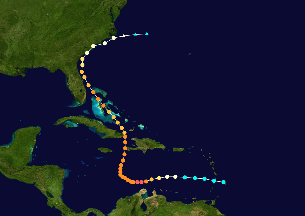
Irene '11 Sandy '12 Hermine '16 5/15/2018 Derecho Fay '20 Isaias '20 Elsa '21 Henri '21 Ida '21
I am only a meteorology enthusiast who knows a decent amount about tropical cyclones. Look to the professional mets, the NHC, or your local weather office for the best information.
I am only a meteorology enthusiast who knows a decent amount about tropical cyclones. Look to the professional mets, the NHC, or your local weather office for the best information.
-
tolakram
- Admin
- Posts: 19165
- Age: 60
- Joined: Sun Aug 27, 2006 8:23 pm
- Location: Florence, KY (name is Mark)
Re: 2021 Indicators: SST's / SAL / MSLP / Shear / Steering / Instability / Sat Images
aspen wrote:NDG wrote:And here I was about a week ago thinking that the second half of September was going to be a fairly busy time with threats to the US, didn't see this -NAO coming and neither the long range GEFS and EPS.
I think everyone here was expecting a September with plenty of land threats and, you know, normal September activity. But it’s been pathetic with the exception of Larry, which was limited by some factor we don’t truly understand yet. The other two invests now don’t seem like they’ll contribute much to the ACE total either, and then after that the basin will probably shut down for a few weeks (I don’t buy the model forecasts for more MDR systems).
2021 could potentially end up with below-average ACE if the enhanced phase in October somehow doesn’t yield anything. If so, forecasts from some of the top organizations in the field will bust quite badly, and extensive research will be needed to figure out why.
What is the normal ACE for September, and what believable signs do we have that October will be slow?
1 likes
M a r k
- - - - -
Join us in chat: Storm2K Chatroom Invite. Android and IOS apps also available.
The posts in this forum are NOT official forecasts and should not be used as such. Posts are NOT endorsed by any professional institution or STORM2K.org. For official information and forecasts, please refer to NHC and NWS products.
- - - - -
Join us in chat: Storm2K Chatroom Invite. Android and IOS apps also available.
The posts in this forum are NOT official forecasts and should not be used as such. Posts are NOT endorsed by any professional institution or STORM2K.org. For official information and forecasts, please refer to NHC and NWS products.
-
AlphaToOmega
- Category 5
- Posts: 1448
- Joined: Sat Jun 26, 2021 10:51 am
- Location: Somewhere in Massachusetts
Re: 2021 Indicators: SST's / SAL / MSLP / Shear / Steering / Instability / Sat Images
Number Named systems Hurricanes Category 3 or greater
1 July 9 Aug 10 Sep 4
2 Aug 1 Aug 28 Oct 3
3 Aug 13 Sep 9 -
4 Aug 23 Sep 21 -
5 Aug 31 Oct 7 -
6 Sep 8 Nov 23 -
7 Sep 16 - -
8 Sep 24 - -
9 Oct 4 - -
10 Oct 19 - -
11 Nov 23 - -
1 July 9 Aug 10 Sep 4
2 Aug 1 Aug 28 Oct 3
3 Aug 13 Sep 9 -
4 Aug 23 Sep 21 -
5 Aug 31 Oct 7 -
6 Sep 8 Nov 23 -
7 Sep 16 - -
8 Sep 24 - -
9 Oct 4 - -
10 Oct 19 - -
11 Nov 23 - -
Based on this climatology chart from https://www.nhc.noaa.gov/climo/, September has so far been slightly above-average. On average, September has 3 storms, 2 hurricanes, and 1 major hurricane. This September has had 4 storms, 2 hurricanes, and 1 major hurricane.
PS: Active seasons often have quantity-over-quality Septembers. That happened in 2016 and 2020.
Last edited by AlphaToOmega on Sat Sep 18, 2021 7:53 am, edited 1 time in total.
0 likes
Re: 2021 Indicators: SST's / SAL / MSLP / Shear / Steering / Instability / Sat Images
tolakram wrote:aspen wrote:NDG wrote:And here I was about a week ago thinking that the second half of September was going to be a fairly busy time with threats to the US, didn't see this -NAO coming and neither the long range GEFS and EPS.
I think everyone here was expecting a September with plenty of land threats and, you know, normal September activity. But it’s been pathetic with the exception of Larry, which was limited by some factor we don’t truly understand yet. The other two invests now don’t seem like they’ll contribute much to the ACE total either, and then after that the basin will probably shut down for a few weeks (I don’t buy the model forecasts for more MDR systems).
2021 could potentially end up with below-average ACE if the enhanced phase in October somehow doesn’t yield anything. If so, forecasts from some of the top organizations in the field will bust quite badly, and extensive research will be needed to figure out why.
What is the normal ACE for September, and what believable signs do we have that October will be slow?
October doesn’t seem like it’ll be slow — that VP forecast is very concerning — but who knows. Still gotta watch out for something nasty blowing up close to land.
I would’ve expected a little more umph from September. We did get a 33 ACE long-tracking major, but everything else has been very short-lived so far. Compare Sept 2021 with Sept 2018 and 2019, which saw more frequent TCG as well as a few other hurricanes that lasted at least 4-7 days alongside the main long-trackers. 2018 had Helene, Issac (weak but was still around for a good amount of time), and Leslie alongside Florence; 2019 had Humberto and Jerry alongside the long-tracking Cat 5s Dorian and Lorenzo. 2017 was extreme with quality while 2020 was extreme with quantity. By comparison, 2021 so far has had Larry as the main long-tracker, but nothing else has lasted more than 2-2.5 days as a TC, and many AOIs have struggled to develop, 95L most notably. That doesn’t mean 2018/19 were perfectly favorable — the Caribbean was a meat grinder in 2018 and several storms under-performed in 2019 — but peak season did feel like peak season. I guess it has to do with August 2021 being way more active than August 2018/19, but still, I never would’ve expected peak season in a developing Nina year to be outclassed by peak season in two warm-neutral/weak Niño years. Still more impressive than 90% of September 2016 lol.
Of course, this could bust horribly if 95L somehow blows up into a major or we get a Matthew-like storm that forms at the very end of the month and becomes a powerful ACE-maker in the Caribbean in early October.
6 likes
Irene '11 Sandy '12 Hermine '16 5/15/2018 Derecho Fay '20 Isaias '20 Elsa '21 Henri '21 Ida '21
I am only a meteorology enthusiast who knows a decent amount about tropical cyclones. Look to the professional mets, the NHC, or your local weather office for the best information.
I am only a meteorology enthusiast who knows a decent amount about tropical cyclones. Look to the professional mets, the NHC, or your local weather office for the best information.
-
Category5Kaiju
- Category 5
- Posts: 3351
- Age: 22
- Joined: Thu Dec 24, 2020 12:45 pm
- Location: Seattle
Re: 2021 Indicators: SST's / SAL / MSLP / Shear / Steering / Instability / Sat Images
Imho, I am thinking that this season is going to be a fierce but highly backloaded season, with decent activity extending from October and into November. While yes I think there is a general sense of surprise that September is not doing as hot as August or more, sometimes in weird scenarios like this I like to play Occam’s Razor and looks at the big picture of background conditions. We are likely about to see Peter develop from 95L (so 16 NSs), and in terms of quantity this season is doing extremely well. The WPAC and EPAC basins have been underperforming as well, and when was the last year that all three of the major NH basins ended up underperforming (I honestly do not know)? The Atlantic now has a strong +AMO look, and the EPAC’s Nino regions are definitely beginning to show the signs of an impending La Niña. With that being said, all of these factors seem to be very strong factors in favoring a very active Atlantic season. What possible lesser known factor would be solely able to overwhelm the influences of the aforementioned and ruin a season’s potential?
1 likes
Unless explicitly stated, all information covered in my posts is based on my opinions and observations. Please refer to a professional meteorologist or an accredited weather research agency otherwise, especially if serious decisions must be made in the event of a potentially life-threatening tropical storm or hurricane.
Re: 2021 Indicators: SST's / SAL / MSLP / Shear / Steering / Instability / Sat Images
There are so many crows out today. Perhaps a sign that I shall be eating some soon for my recent comments?
0 likes
Irene '11 Sandy '12 Hermine '16 5/15/2018 Derecho Fay '20 Isaias '20 Elsa '21 Henri '21 Ida '21
I am only a meteorology enthusiast who knows a decent amount about tropical cyclones. Look to the professional mets, the NHC, or your local weather office for the best information.
I am only a meteorology enthusiast who knows a decent amount about tropical cyclones. Look to the professional mets, the NHC, or your local weather office for the best information.
-
Category5Kaiju
- Category 5
- Posts: 3351
- Age: 22
- Joined: Thu Dec 24, 2020 12:45 pm
- Location: Seattle
Re: 2021 Indicators: SST's / SAL / MSLP / Shear / Steering / Instability / Sat Images
aspen wrote:There are so many crows out today. Perhaps a sign that I shall be eating some soon for my recent comments?
Well, let's wait for a bit; season's isn't over quite yet. Perhaps things would change in October or the very extreme end of this month, who knows? We still have 2 weeks of September left, so who knows if that final week or the last 3 days will deliver a surprise?
In the meantime I shall look at the 2013 indicators thread just for fun; at least this year was not as boring as 2013.
0 likes
Unless explicitly stated, all information covered in my posts is based on my opinions and observations. Please refer to a professional meteorologist or an accredited weather research agency otherwise, especially if serious decisions must be made in the event of a potentially life-threatening tropical storm or hurricane.
-
SFLcane

- S2K Supporter

- Posts: 9606
- Age: 46
- Joined: Sat Jun 05, 2010 1:44 pm
- Location: Lake Worth Florida
Re: 2021 Indicators: SST's / SAL / MSLP / Shear / Steering / Instability / Sat Images
Other then a few weak storms it’s been a lackluster September no doubt. That could always change in October but we’ll see.
1 likes
Who is online
Users browsing this forum: cainjamin, duilaslol, Google [Bot], Google Adsense [Bot], Kingarabian, revjohn and 146 guests