


Hammy wrote:Category5Kaiju wrote:Teban54 wrote:Wild hypothesis: The amount of season cancel posts correlates with current activity, not potential activity.
There was a brief lull in season cancelling yesterday when 95L and 97L looked impressive for invests. Then they returned immediately today when they became naked swirls.
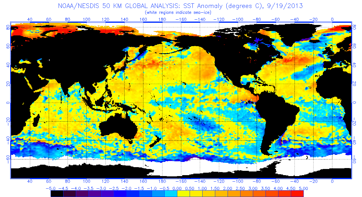
On a more serious note, this has been well-modeled in advance. We know a suppressed phase was bound to happen in mid-September, and we also know they will become more favorable in one or two weeks. I would reserve all 2013 calls until at least end of October.
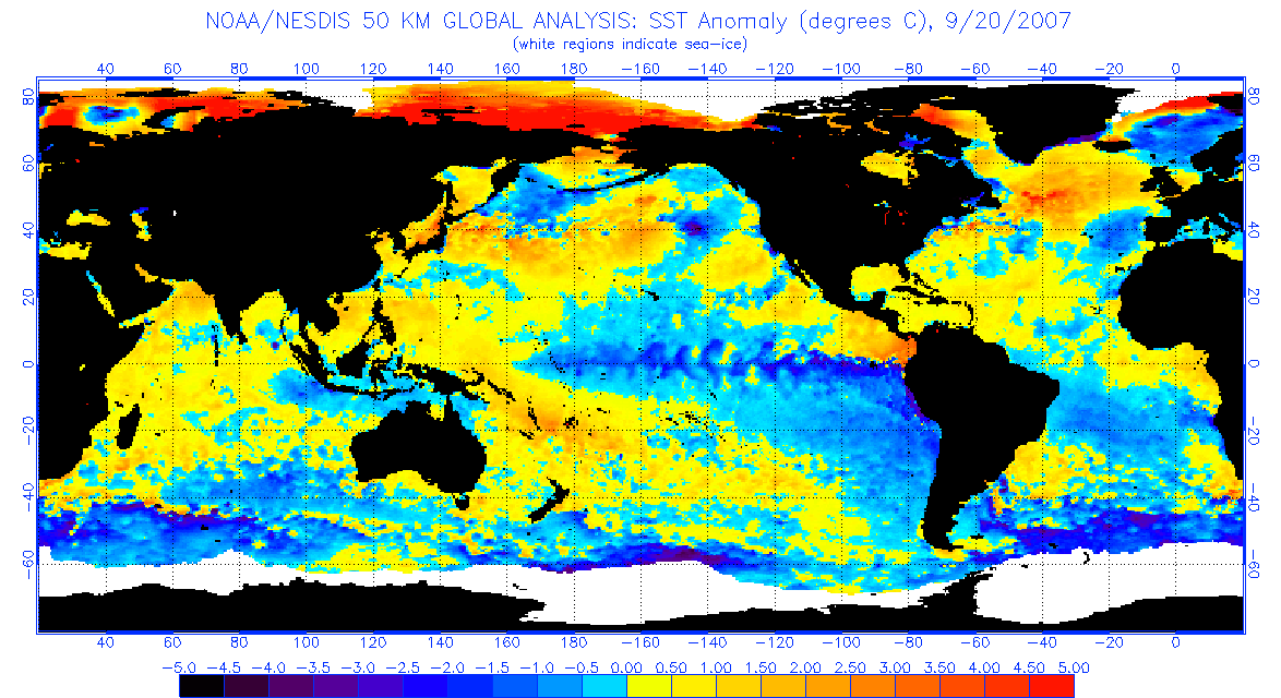
To be fair, 2013 should in no way serve as any comparison with this season given we have already had 6 hurricanes, 3 major hurricanes, and more NSs (and counting) with twice the ACE than that season ever had. I am honestly unsure about where this general idea of 2013 is suddenly coming from if you ask me.
There's a world of difference between comparing 2013 as a season, and comparing the conditions that led to it (a decrease in the thermohaline circulation), which itself can lead to a sudden decrease in favorability.
The THC IS getting weaker with time, so this definitely something to question when we end up with such massively unfavorable conditions all of a sudden.
Eh, I suppose, but I personally I am going to wait until later this month and October and see. I think this is simply due to the unfavorable MJO phase, because the simple fact is we are still getting storms, and have already been getting major hurricanes in late August. I just think the MJO phase's timing was a bit awry, which is why we are not seeing major activity during what is usually the peak season. From the way I see it, a THC collapse would cause even more unfavorable conditions than what we are seeing now, with waves simply drying up as they exit Africa (tropical cyclone genesis itself being a major problem) as we saw in 2013 as an example. GEFS and GEPS are still hinting at a late September and early October burst in activity, so personally I am not sure if this is necessarily due to a THC collapse. I think more evidence in the near future will be needed for us to make such sort of judgement.
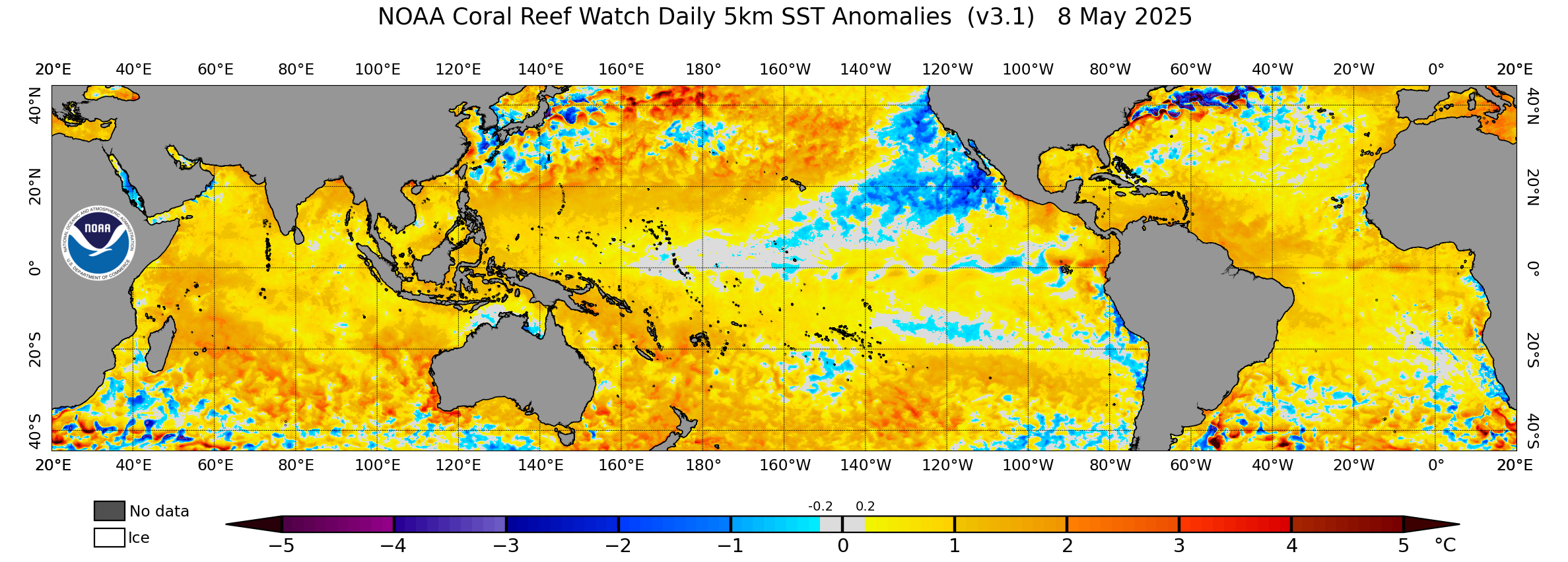
*btw, just now Rose has officially been designated to have formed by the NHC on its map. And not to mention we now have an AOI that has a 40% chance within the next 5 days as well as an Odette that could reform as a zombie storm. Interpret this situation as you will, but personally, I find it a bit hard to believe that a THC collapse is to blame, I really think it's just a suppressive MJO phase that is the culprit.


