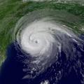

I see some RI before Landfall tbh
texas coast should be watching by now lol
Moderator: S2k Moderators

stormlover2013 wrote:to be honest, ICON isn't really good....that sucker flops back and forth.
stormlover2013 wrote:to be honest, ICON isn't really good....that sucker flops back and forth.
caneman wrote:stormlover2013 wrote:to be honest, ICON isn't really good....that sucker flops back and forth.
You're looking for a trend with models
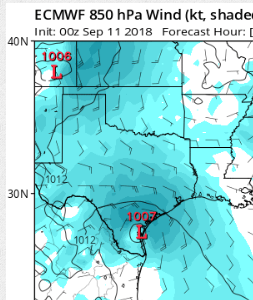

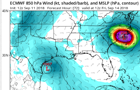
Steve wrote:NAM still isn't doing much with it. It doesn't tighten up until about at the coast. This is valid 1:00pm on Friday. RGEM initializing and I'll get that up as soon as it posts.
SoupBone wrote:Steve wrote:NAM still isn't doing much with it. It doesn't tighten up until about at the coast. This is valid 1:00pm on Friday. RGEM initializing and I'll get that up as soon as it posts.
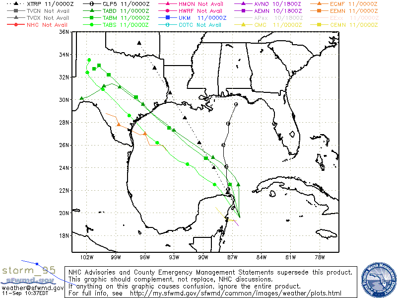
RGEM has a hard left hook right at hour 48. Looks like high pressure parked on Texas/LA line, keeping it from going north.


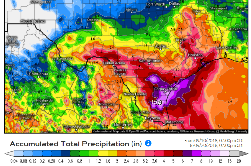
wxman22 wrote:Fwiw the 12z FW3 GFS closes the system off right before landfall around Corpus Christi.

mcheer23 wrote:wxman22 wrote:Fwiw the 12z FW3 GFS closes the system off right before landfall around Corpus Christi.
That would put the bulk of the rain over SE TX. Especially west of I-45
Users browsing this forum: No registered users and 38 guests


