Dianmu Advisories

Moderator: S2k Moderators

Message
Author
User avatar
HURAKAN
Professional-Met
Professional-Met
Posts: 46086
Age: 37
Joined: Thu May 20, 2004 4:34 pm
Location: Key West, FL
Contact:

TYPHOON DIANMU: THE LASTEST FROM GUAM

#1 Postby HURAKAN » Mon Jun 14, 2004 6:58 pm

Image

WTPQ31 PGUM 142136
TCPPQ1

TYPHOON DIANMU ADVISORY NUMBER 8
NATIONAL WEATHER SERVICE TIYAN GU
740 AM GUAM LST TUE JUN 15 2004

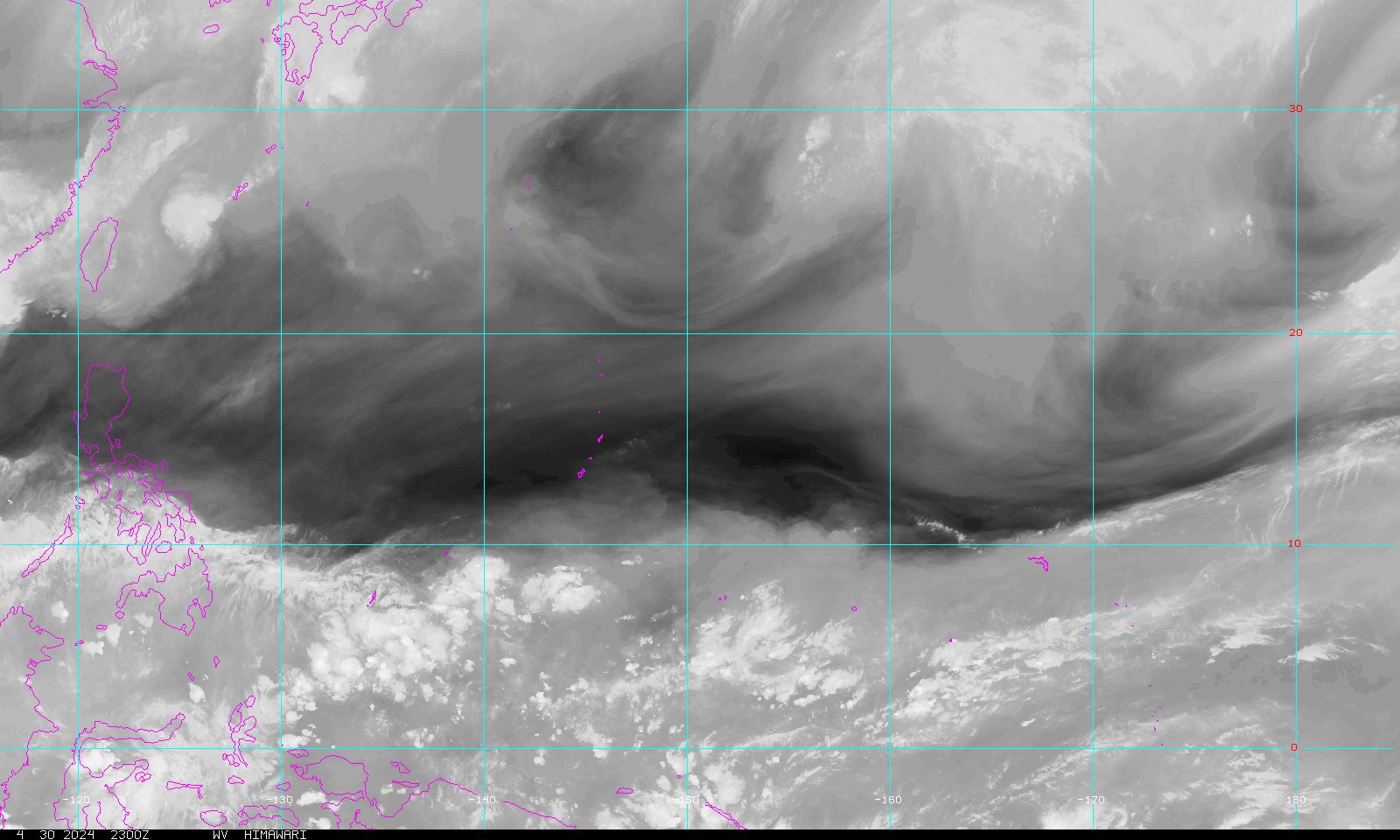
...TYPHOON DIANMU CONTINUES TO SLOWLY MOVE AWAY FROM YAP...

A TROPICAL STORM WARNING AND TYPHOON WATCH REMAIN IN EFFECT FOR YAP.

AT 7 AM GUAM LST...2100Z...THE CENTER OF TYPHOON DIANMU WAS LOCATED
NEAR LATITUDE 11.1 DEGREES NORTH AND LONGITUDE 137.4 DEGREES EAST.
THIS IS ABOUT 120 MILES NORTH-NORTHWEST OF YAP.

TYPHOON DIANMU IS MOVING TOWARD THE NORTH-NORTHEAST AT 9 MPH. THIS
MOSTION IS EXPECTED TO CONTINUE OVER THE NEXT 24 HOURS WITH A SLIGHT
TURN TO THE NORTH-NORTHWEST.

MAXIMUM SUSTAINED WINDS ARE 75 MPH WITH GUSTS TO 90 MPH. TYPHOON
DIANMU IS EXPECTED TO CONTINUE TO INTENSIFY OVER THE NEXT 24 HOURS.

DAMAGING WINDS EXTEND OUTWARD UP TO 125 MILES FROM THE CENTER.

REPEATING THE 7 AM POSITION...11.1 DEGREES NORTH LATITUDE AND 137.4
DEGREES EAST LONGITUDE...MOVING NORTH-NORTHEAST AT 9 MPH...WITH
MAXIMUM SUSTAINED WINDS OF 75 MPH.

FOR STORM INFORMATION SPECIFIC TO YOUR AREA...REFER TO TYPHOON
DIANMU LOCAL STATEMENT /WTPQ81 PGUM/ AND OTHER PRODUCTS ISSUED BY
THE NATIONAL WEATHER SERVICE.

THE NEXT INTERMEDIATE ADVISORY WILL BE ISSUED BY THE NATIONAL
WEATHER SERVICE AT 11 AM GUAM LST...FOLLOWED BY THE NEXT SCHEDULED
ADVISORY AT 2 PM GUAM LST.

STANKO
-------------------------------------------------------------
Image

Image

Image
0 likes   

User avatar
SupertyphoonTip
Tropical Depression
Tropical Depression
Posts: 77
Joined: Sat May 29, 2004 12:50 am
Location: Cape Cod, Massachusetts

#2 Postby SupertyphoonTip » Mon Jun 14, 2004 7:14 pm

Could reach supertyphoon-strength in 48 hours or so.
http://www.weatherunderground.com/tropi ... ublic.html

A brushing of Japan is possible, maybe worse...like the NOGAPS track

http://www.weatherunderground.com/tropical/tracking/wp200409_model.html
0 likes   

User avatar
Aquawind
Category 5
Category 5
Posts: 6714
Age: 60
Joined: Mon Jun 16, 2003 10:41 pm
Location: Salisbury, NC
Contact:

#3 Postby Aquawind » Mon Jun 14, 2004 7:44 pm

Massive


:eek: 8-)
0 likes   

User avatar
HURAKAN
Professional-Met
Professional-Met
Posts: 46086
Age: 37
Joined: Thu May 20, 2004 4:34 pm
Location: Key West, FL
Contact:

#4 Postby HURAKAN » Mon Jun 14, 2004 8:06 pm

I would say, BEAUTIFUL, look that outflow in all directions, is just magnificent.
0 likes   

User avatar
SupertyphoonTip
Tropical Depression
Tropical Depression
Posts: 77
Joined: Sat May 29, 2004 12:50 am
Location: Cape Cod, Massachusetts

#5 Postby SupertyphoonTip » Mon Jun 14, 2004 8:15 pm

The outflow is very well developed, hence the unusually fast strengthening. This is certainly a potent storm, the third typhoon in the West Pacific in a week.
0 likes   

User avatar
SupertyphoonTip
Tropical Depression
Tropical Depression
Posts: 77
Joined: Sat May 29, 2004 12:50 am
Location: Cape Cod, Massachusetts

#6 Postby SupertyphoonTip » Mon Jun 14, 2004 11:29 pm

Typhoon Dianmu has recently developed an eye. This is a great satellite picture of it. http://www.nrlmry.navy.mil/tc_pages/04_WPAC_09W.DIANMU_ssmi_vis1km_full.html

Also looks like it will be a miss for Japan, but still too early to make an accurate prediction.
0 likes   

User avatar
Aquawind
Category 5
Category 5
Posts: 6714
Age: 60
Joined: Mon Jun 16, 2003 10:41 pm
Location: Salisbury, NC
Contact:

#7 Postby Aquawind » Tue Jun 15, 2004 7:02 am

Peek Aboo.. :wink: 8-)
0 likes   

User avatar
senorpepr
Military Met/Moderator
Posts: 12542
Age: 41
Joined: Fri Aug 22, 2003 9:22 pm
Location: Mackenbach, Germany
Contact:

#8 Postby senorpepr » Tue Jun 15, 2004 7:25 am

It's up to 100 mph now...
0 likes   

Derecho
Category 5
Category 5
Posts: 1011
Joined: Sat Mar 15, 2003 3:15 pm

#9 Postby Derecho » Tue Jun 15, 2004 7:53 am

senorpepr wrote:It's up to 100 mph now...


Eh, last two advisories JTWC has been way, way behind; may have underestimated winds by 30-40 kts each advisory. It has a tiny, pinhole eye now.

If this was an Atlantic storm people would be throwing a gigantic fit....
0 likes   

User avatar
HURAKAN
Professional-Met
Professional-Met
Posts: 46086
Age: 37
Joined: Thu May 20, 2004 4:34 pm
Location: Key West, FL
Contact:

#10 Postby HURAKAN » Tue Jun 15, 2004 11:11 am

I posted that yesterday that is why it is not updated.
0 likes   

User avatar
Thunder44
Category 5
Category 5
Posts: 5922
Age: 43
Joined: Mon Jun 09, 2003 7:53 pm
Location: New York City

#11 Postby Thunder44 » Tue Jun 15, 2004 11:19 am

Here's an update. It has winds of 140mph now...
http://www.weatherunderground.com/tropi ... ublic.html
0 likes   

User avatar
HURAKAN
Professional-Met
Professional-Met
Posts: 46086
Age: 37
Joined: Thu May 20, 2004 4:34 pm
Location: Key West, FL
Contact:

#12 Postby HURAKAN » Tue Jun 15, 2004 11:28 am

Guam issues those advisories like the NHC when a system is near its area, now Dianmu has moved out of that area and they are not issuing those advisories anymore.
0 likes   

User avatar
Hurricanehink
S2K Supporter
S2K Supporter
Posts: 2022
Joined: Sun Nov 16, 2003 2:05 pm
Location: New Jersey

#13 Postby Hurricanehink » Tue Jun 15, 2004 11:56 am

WOW That thing looks soooo well organized. It already looks like a super typhoon! I just hope it doesn't affect too many land masses...
0 likes   

HurricaneBill
Category 5
Category 5
Posts: 3420
Joined: Sun Apr 11, 2004 5:51 pm
Location: East Longmeadow, MA, USA

#14 Postby HurricaneBill » Tue Jun 15, 2004 1:59 pm

It's got a "Gilbert" eye!

I always though Gilbert's eye was so small, you could barely stick a pin in it. :lol:
0 likes   

User avatar
HURAKAN
Professional-Met
Professional-Met
Posts: 46086
Age: 37
Joined: Thu May 20, 2004 4:34 pm
Location: Key West, FL
Contact:

#15 Postby HURAKAN » Tue Jun 15, 2004 2:02 pm

I has a beautiful eye but the eye developed by Isabel last year was beautiful also although very different.
0 likes   

WXBUFFJIM
Category 5
Category 5
Posts: 1971
Joined: Thu Mar 06, 2003 11:02 am
Location: Baltimore

#16 Postby WXBUFFJIM » Tue Jun 15, 2004 2:09 pm

It's got that camille look. It could get well over 175 mph before it's all said and done with.

Jim
0 likes   

User avatar
HURAKAN
Professional-Met
Professional-Met
Posts: 46086
Age: 37
Joined: Thu May 20, 2004 4:34 pm
Location: Key West, FL
Contact:

#17 Postby HURAKAN » Tue Jun 15, 2004 2:14 pm

WXBUFFJIM wrote:It's got that camille look. It could get well over 175 mph before it's all said and done with.

Jim


Well, it is moving slowly, surface waters could not be more favorable, and the outflow is incredible in all directions. I would agree 100% with you Jim!
0 likes   

User avatar
HURAKAN
Professional-Met
Professional-Met
Posts: 46086
Age: 37
Joined: Thu May 20, 2004 4:34 pm
Location: Key West, FL
Contact:

#18 Postby HURAKAN » Tue Jun 15, 2004 2:20 pm

The 3rd and Strongest yet Super Typhoon of the WPAC season is here, according to NRL Dianmu has winds of 145 knots, and a barometric pressure of 892 mb.
0 likes   

User avatar
SupertyphoonTip
Tropical Depression
Tropical Depression
Posts: 77
Joined: Sat May 29, 2004 12:50 am
Location: Cape Cod, Massachusetts

#19 Postby SupertyphoonTip » Tue Jun 15, 2004 2:53 pm

Wow a 40-MPH increase in 6 hours, almost a super typhoon. Now predicted to reach as much as 175 MPH late tomorrow evening, followed by gradual weakening. The models are now showing a landfall in western Japan sometime during Monday.
0 likes   

User avatar
HURAKAN
Professional-Met
Professional-Met
Posts: 46086
Age: 37
Joined: Thu May 20, 2004 4:34 pm
Location: Key West, FL
Contact:

#20 Postby HURAKAN » Tue Jun 15, 2004 2:58 pm

SupertyphoonTip wrote:Wow a 40-MPH increase in 6 hours, almost a super typhoon. Now predicted to reach as much as 175 MPH late tomorrow evening, followed by gradual weakening. The models are now showing a landfall in western Japan sometime during Monday.


Well, at this moment according to NRL it has winds of 165 mph, busting 175 mph will be an easy job for this ST.
0 likes   


Return to “2004”

Who is online

Users browsing this forum: No registered users and 8 guests