Moderator: S2k Moderators


InfernoFlameCat wrote:I am feeling for the first part, up to 300 miles away from the LA, that it might be like Irma that develops later than Irma. However, once it reaches that TUTT, unlike Irma I believe it will weaken about where Irma RI'd into CAT 5 to a mid level tc or dissipate entirely. Its too far out for me to try to accurately predict what happens once the system reaches the LA. I am not an expert but that is my take.
tolakram wrote:I think they'll need to drop chances, otherwise it's going to be stuck at 80/90 for a few days. I'd say 60/90 is more realistic at the moment.

Nimbus wrote:tolakram wrote:I think they'll need to drop chances, otherwise it's going to be stuck at 80/90 for a few days. I'd say 60/90 is more realistic at the moment.
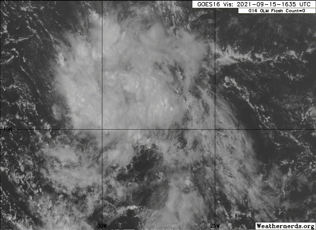
Looking at the models there is literally no information, something weak maybe a depression moving west then the phone goes dead. Statistically the models appear to be calling for about 50/90 but the convection is there with a wave apex that would be a circulation if it slowed down just a bit and of course NHC has climo expectations.
AlphaToOmega wrote:The NHC, ensembles, and operational models still show development. Large areas of vorticity take longer to develop than smaller areas for obvious reasons. Be patient
Users browsing this forum: No registered users and 77 guests