
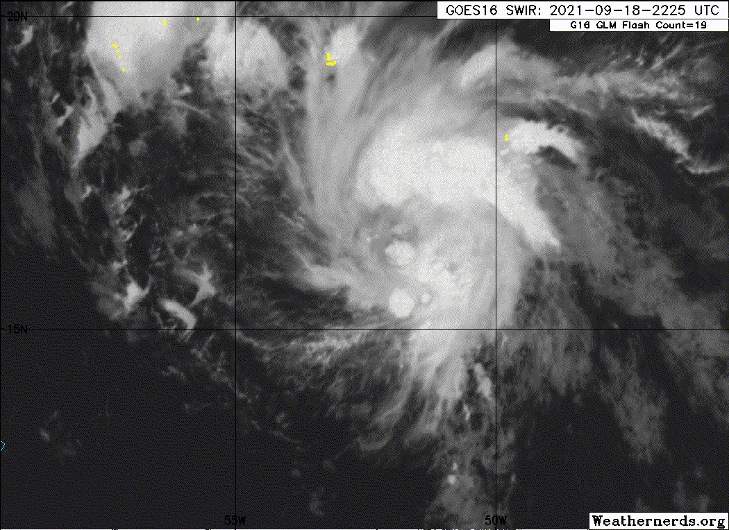
Sciencerocks wrote:https://imagizer.imageshack.com/img923/7060/ORtsH2.gif
Is that an eye with rotating hot towers?
Moderator: S2k Moderators
Sciencerocks wrote:https://imagizer.imageshack.com/img923/7060/ORtsH2.gif


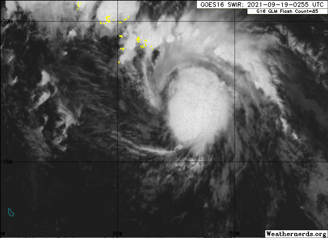
Iceresistance wrote:ASCAT Direct Hit, there is NO way it's not TD 16!
https://s9.gifyu.com/images/ascat_95L_barb_202109181426.png
https://s9.gifyu.com/images/ascat_95L_speed_202109181426.png


Users browsing this forum: No registered users and 57 guests


