
aspen wrote:This may be trying to consolidate around 12.5-13.0N, based on visible/IR imagery. Let’s see if this keeps up.
Looks much better than yesterday. I can realistically see this spinning up to a TS before the islands if the trend continues.
Moderator: S2k Moderators
aspen wrote:This may be trying to consolidate around 12.5-13.0N, based on visible/IR imagery. Let’s see if this keeps up.


Weather Dude wrote:I still think this one develops at some point. Whether we see weak development before the TUTT or it waits until after remains to be seen. But I think there's a solid chance we see Odette out of this. Still not convinced on 96L developing and I think there's a good chance this is the only one out of the three AOI's that develops.


aspen wrote:The vorticity signature on the CIMSS map has improved as well, and is lined up with the blob of convection on satellite imagery.
cycloneye wrote:aspen wrote:The vorticity signature on the CIMSS map has improved as well, and is lined up with the blob of convection on satellite imagery.
Do you have graphic?

grapealcoholic wrote:Shear really starts to become detrimental at 00z 9/20 (60h). Assuming it starts developing tonight that gives it 35-40 hours, most of which will be over 28+ waters, to strengthen into a low-mid level hurricane.
grapealcoholic wrote:Shear vector is forecast to move from SE to SW tonight. We should see it take off as SW shear will be much more favorable in preventing dry air from advecting into downshear vortex.
Nimbus wrote:grapealcoholic wrote:Shear vector is forecast to move from SE to SW tonight. We should see it take off as SW shear will be much more favorable in preventing dry air from advecting into downshear vortex.
The northeasterly trade winds have been over running 95L and the trough shear may offset some of that over running shear initially, but that is a tall stack of airmass and there it will likely continue to be some shear vectoring from the south. I personally don't see it going below 990 mb's unless it misses the islands but the official cone was just moved south almost to Guadeloupe.
grapealcoholic wrote:Nimbus wrote:grapealcoholic wrote:Shear vector is forecast to move from SE to SW tonight. We should see it take off as SW shear will be much more favorable in preventing dry air from advecting into downshear vortex.
The northeasterly trade winds have been over running 95L and the trough shear may offset some of that over running shear initially, but that is a tall stack of airmass and there it will likely continue to be some shear vectoring from the south. I personally don't see it going below 990 mb's unless it misses the islands but the official cone was just moved south almost to Guadeloupe.
It also looks like it might be broad at least initially, and then develops a small core. It's probably going to rearing it's head for RI and then runs smack into the heavier shear
Nimbus wrote:grapealcoholic wrote:Nimbus wrote:
The northeasterly trade winds have been over running 95L and the trough shear may offset some of that over running shear initially, but that is a tall stack of airmass and there it will likely continue to be some shear vectoring from the south. I personally don't see it going below 990 mb's unless it misses the islands but the official cone was just moved south almost to Guadeloupe.
It also looks like it might be broad at least initially, and then develops a small core. It's probably going to rearing it's head for RI and then runs smack into the heavier shear
I've heard this forecast before, but after the trough splits
https://pbs.twimg.com/media/ECM2C-2XkAA-fXl.jpg
AutoPenalti wrote:Nimbus wrote:grapealcoholic wrote:It also looks like it might be broad at least initially, and then develops a small core. It's probably going to rearing it's head for RI and then runs smack into the heavier shear
I've heard this forecast before, but after the trough splits
https://pbs.twimg.com/media/ECM2C-2XkAA-fXl.jpg
The shortwave that's been modeled to steer this away has become shallower and shallower each run.

Nimbus wrote:AutoPenalti wrote:Nimbus wrote:
I've heard this forecast before, but after the trough splits
https://pbs.twimg.com/media/ECM2C-2XkAA-fXl.jpg
The shortwave that's been modeled to steer this away has become shallower and shallower each run.
The first trough is digging south and will become an ULL to the west or SW of 95L where it could eventually ventilate the outflow. So after some temporary shear the track should turn more westward north of the islands.
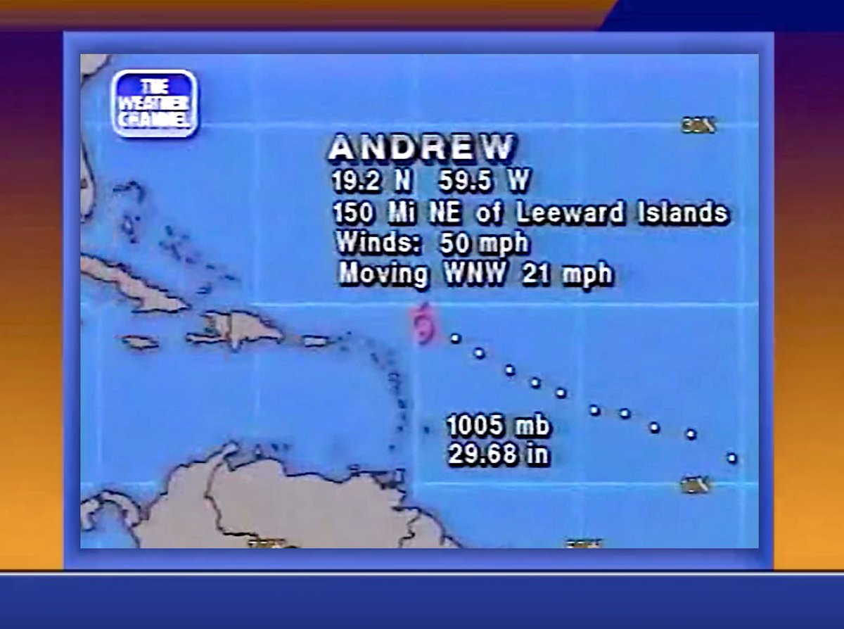
The trough split didn't happen to Andrew till it was north of Puerto Rico but the current trough ahead of 95L will be splitting and rolling away earlier.
https://www.tropicaltidbits.com/sat/sat ... uct=wv-mid
Users browsing this forum: LemieT and 42 guests


