
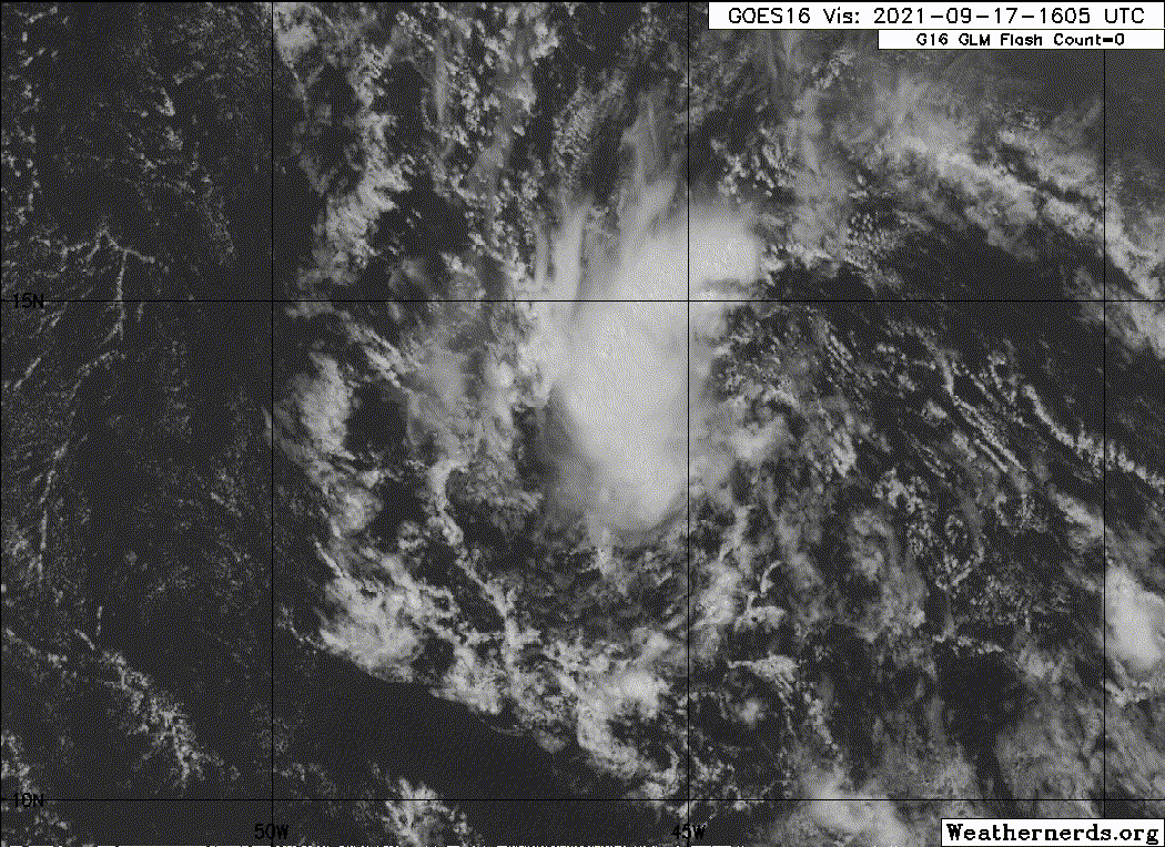
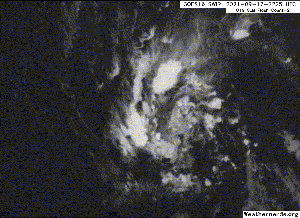
grapealcoholic wrote:Time of the essence and I think DMAX will be crucial tonight to at least get a TD closed up. I like how HWRF lets us do a little now-casting; for example it has some decent convection firing by 8pm
https://www.tropicaltidbits.com/analysis/models/hwrf/2021091712/hwrf_satIR_95L_3.png
HWRF has the shear vector shifting to S by 5pm. Convection should light up as that happens


