
TY 0708 (SEPAT)
Issued at 03:00 UTC, 14 August 2007
RSMC TROPICAL CYCLONE ADVISORY
NAME TY 0708 SEPAT (0708)
ANALYSIS
PSTN 140300UTC 16.3N 131.1E GOOD
MOVE W 08KT
PRES 960HPA
MXWD 075KT
GUST 105KT
50KT 60NM
30KT 170NM
FORECAST
24HF 150300UTC 16.3N 129.4E 80NM 70%
MOVE W SLOWLY
PRES 950HPA
MXWD 080KT
GUST 115KT
45HF 160000UTC 17.7N 128.1E 150NM 70%
MOVE NW SLOWLY
PRES 950HPA
MXWD 080KT
GUST 115KT
69HF 170000UTC 20.5N 125.3E 220NM 70%
MOVE NW 10KT
PRES 950HPA
MXWD 080KT
GUST 115KT
Tropical Depression SEPAT: Discussions, Analysis and Image
Moderator: S2k Moderators
TY 0708 (SEPAT)
Issued at 09:00 UTC, 14 August 2007
RSMC TROPICAL CYCLONE ADVISORY
NAME TY 0708 SEPAT (0708)
ANALYSIS
PSTN 140900UTC 16.0N 130.3E GOOD
MOVE WSW 08KT
PRES 960HPA
MXWD 075KT
GUST 105KT
50KT 60NM
30KT 170NM
FORECAST
24HF 150900UTC 16.3N 128.3E 80NM 70%
MOVE W SLOWLY
PRES 950HPA
MXWD 080KT
GUST 115KT
45HF 160600UTC 18.4N 126.9E 150NM 70%
MOVE NW 07KT
PRES 945HPA
MXWD 085KT
GUST 120KT
69HF 170600UTC 21.6N 123.7E 220NM 70%
MOVE NW 11KT
PRES 945HPA
MXWD 085KT
GUST 120KT
0 likes
-
WindRunner

- Category 5

- Posts: 5806
- Age: 33
- Joined: Fri Jul 29, 2005 8:07 pm
- Location: Warrenton, VA, but Albany, NY for school
- Contact:
Up to 80 kt 955 mbar:
WTJP21 RJTD 141200
WARNING 141200.
WARNING VALID 151200.
WARNING IS UPDATED EVERY 6 HOURS.
TYPHOON WARNING.
TYPHOON 0708 SEPAT (0708) 955 HPA
AT 15.8N 130.0E SEA EAST OF PHILIPPINES MOVING WESTSOUTHWEST 07
KNOTS.
POSITION GOOD.
MAX WINDS 80 KNOTS NEAR CENTER.
RADIUS OF OVER 50 KNOT WINDS 60 MILES.
RADIUS OF OVER 30 KNOT WINDS 170 MILES.
FORECAST POSITION FOR 151200UTC AT 16.2N 128.0E WITH 80 MILES RADIUS
OF 70 PERCENT PROBABILITY CIRCLE.
945 HPA, MAX WINDS 85 KNOTS NEAR CENTER.
EXTENDED OUTLOOK.
FORECAST POSITION FOR 161200UTC AT 18.3N 126.3E WITH 150 MILES RADIUS
OF 70 PERCENT PROBABILITY CIRCLE.
945 HPA, MAX WINDS 85 KNOTS NEAR CENTER.
FORECAST POSITION FOR 171200UTC AT 21.7N 123.4E WITH 220 MILES RADIUS
OF 70 PERCENT PROBABILITY CIRCLE.
945 HPA, MAX WINDS 85 KNOTS NEAR CENTER.
JAPAN METEOROLOGICAL AGENCY.=
0 likes

-
HurricaneBill
- Category 5
- Posts: 3420
- Joined: Sun Apr 11, 2004 5:51 pm
- Location: East Longmeadow, MA, USA


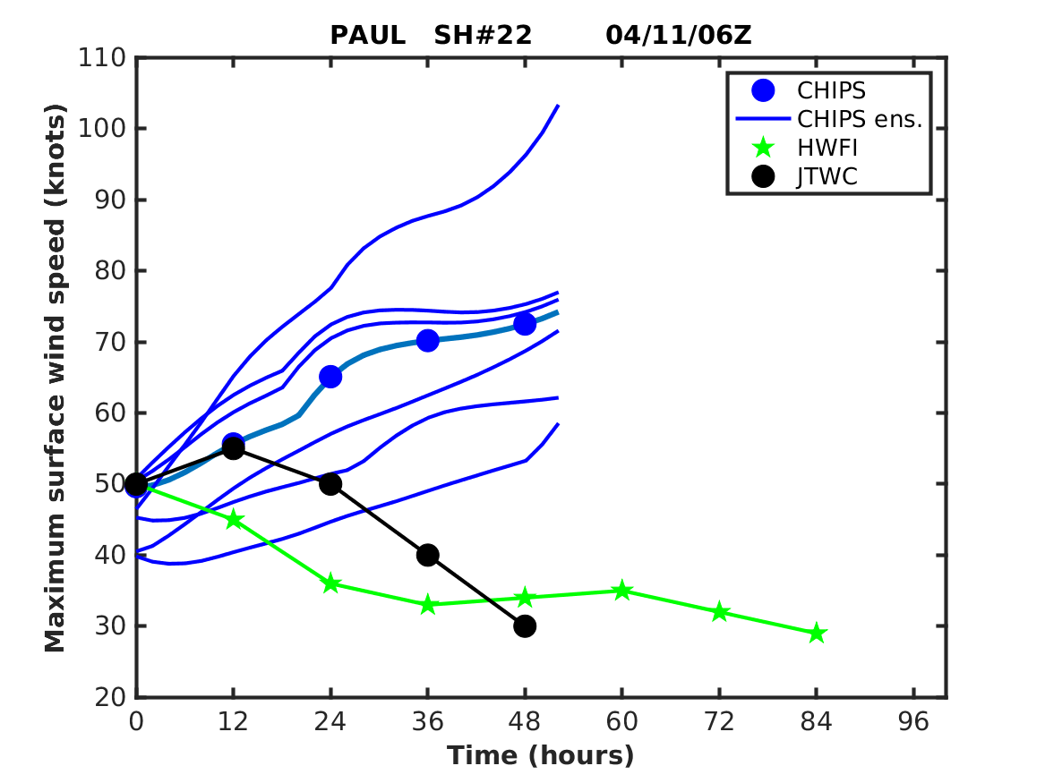
Obvious rapid intensification has occurred as captured by the CHIPS model (http://wind.mit.edu/~emanuel/temp2.png). Probably at least a Cat 4 right now. Raw T# of 7.0! CI still catching up given the intensification constraints with the system.
0 likes

-
marcane_1973

- Category 1

- Posts: 330
- Age: 50
- Joined: Mon Jun 26, 2006 11:01 pm
- Location: N.C.
- Contact:
Re: WPAC: 0708 Typhoon Sepat (09W)
Good God!!!! Where is this monster supposed to make landfall and at what strength???
0 likes
-
Aquawind

- Category 5
- Posts: 6714
- Age: 60
- Joined: Mon Jun 16, 2003 10:41 pm
- Location: Salisbury, NC
- Contact:
Re: WPAC: 0708 Typhoon Sepat (09W)
marcane_1973 wrote:Good God!!!! Where is this monster supposed to make landfall and at what strength???

0 likes


-
HurricaneBill
- Category 5
- Posts: 3420
- Joined: Sun Apr 11, 2004 5:51 pm
- Location: East Longmeadow, MA, USA
-
marcane_1973
- Category 1
- Posts: 330
- Age: 50
- Joined: Mon Jun 26, 2006 11:01 pm
- Location: N.C.
- Contact:
Re: WPAC: 0708 Typhoon Sepat (09W)
x-y-no wrote:Wow ... Taiwan about to get smacked again?
I've been so busy today I haven't kept up on this storm at all.
Mannn poor Taiwan looks like it might get smacked Bigtime too!!! The winds got to be stronger than 100kts now.
0 likes


Who is online
Users browsing this forum: No registered users and 16 guests