ATL: Tropical Depression Dolly
Moderator: S2k Moderators
- wxman57
- Moderator-Pro Met

- Posts: 22484
- Age: 66
- Joined: Sat Jun 21, 2003 8:06 pm
- Location: Houston, TX (southwest)
Re: ATL: INVEST 94L East of Windward Islands
Some things to keep in mind when looking at the model guidance.
1. The BAM models are not dynamic. They are a good indication of the CURRENT flow patterns (shallow, medium and deep) but they won't do well if the flow pattern is changing with time. So if a cold front is moving off the east U.S. coast in 6-7 days or if a trof is digging south toward the eastern Caribbean, the BAM models won't see it. They'll just keep moving this system westward in the CURRENT flow.
2. The ECMWF is pretty bad as a tropical model. Not as bad as the ETA/NAM/WRF, but it's not one to trust much
3. The GFS actually isn't too bad, but it does tend to break down the ridge to the north too quickly sometimes, indicating recurvature too soon. Didn't do too badly with Bertha, though.
4. HWRF and GFDL did pretty good with Bertha, indicating recurvature east of Bermuda before the other models.
We were talking about the pattern of development in the office on Friday possibly resembling 1995 in that we may have a big circle of storms in the Atlantic, some clipping the NE Caribbean before turning northward. We'll see.
0 likes
- Weatherfreak14
- Category 5

- Posts: 1383
- Joined: Sat Sep 24, 2005 3:40 pm
- Location: Beaufort, SC
- Contact:
Re: ATL: INVEST 94L East of Windward Islands
I say NYC right on top of Manhatten.... CAT 5 50 Ft wave... OOOO and tornados in hollywoood. LMAO.. Sry couldnt help my self... Now back to topic
0 likes
- Category 5
- Category 5

- Posts: 10074
- Age: 34
- Joined: Sun Feb 11, 2007 10:00 pm
- Location: New Brunswick, NJ
- Contact:
Re: ATL: INVEST 94L East of Windward Islands
canetracker wrote:
Above models show South America is likely target. Sure they will flip flop.
Correct me if I'm wrong. Is CLP5 a climatology model?
0 likes
Re: ATL: INVEST 94L East of Windward Islands
wxman57 wrote:Some things to keep in mind when looking at the model guidance.
1. The BAM models are not dynamic. They are a good indication of the CURRENT flow patterns (shallow, medium and deep) but they won't do well if the flow pattern is changing with time. So if a cold front is moving off the east U.S. coast in 6-7 days or if a trof is digging south toward the eastern Caribbean, the BAM models won't see it. They'll just keep moving this system westward in the CURRENT flow.
2. The ECMWF is pretty bad as a tropical model. Not as bad as the ETA/NAM/WRF, but it's not one to trust much
3. The GFS actually isn't too bad, but it does tend to break down the ridge to the north too quickly sometimes, indicating recurvature too soon. Didn't do too badly with Bertha, though.
4. HWRF and GFDL did pretty good with Bertha, indicating recurvature east of Bermuda before the other models.
We were talking about the pattern of development in the office on Friday possibly resembling 1995 in that we may have a big circle of storms in the Atlantic, some clipping the NE Caribbean before turning northward. We'll see.
IMO, the ECMWF, is more useful, after the TC has formed and when they become major storms too.
0 likes
- Gustywind
- Category 5

- Posts: 12334
- Joined: Mon Sep 03, 2007 7:29 am
- Location: Baie-Mahault, GUADELOUPE
http://www.ssd.noaa.gov/goes/east/catl/loop-ir4.html
Convection is popping fairly nicely if look carefully in the southern quadrant as a huge bulk ...good looking invest growing..getting bigger and bigger for my untrained eyes, and not too far to TD status if this trend continues within the 48h, warm sst's, low shear... conditions appears better as we're approaching mid July with all surprises in store since the beginning of the month ....
....
Convection is popping fairly nicely if look carefully in the southern quadrant as a huge bulk ...good looking invest growing..getting bigger and bigger for my untrained eyes, and not too far to TD status if this trend continues within the 48h, warm sst's, low shear... conditions appears better as we're approaching mid July with all surprises in store since the beginning of the month
 ....
....
0 likes
- gatorcane
- S2K Supporter

- Posts: 23499
- Age: 46
- Joined: Sun Mar 13, 2005 3:54 pm
- Location: Boca Raton, FL
Re: Invest 94L
Matt-hurricanewatcher wrote:I think this has by far a better chance of developing.
1# Lots of convection
2# Low shear
The ship model forecast strengthing to a point where you can be some what safe to assume it may have a chance of developing. It will likley be a low rider.
People you know those ship of the LINE ships of old. Remember how when the doors opened up on the sides and the cannons started to come out. I clearly see those cannons coming out right now. Maybe not as intense of 2004, but 1998,99 or 96 is looking possible.
Maybe it would be a good idea to buy homes that can be moved from the coast to inland?
If this thing ends up getting going with this system, I do wonder if we are looking at another 2005-like season as far as #systems. To have this much activity in July is pretty unusual especially where systems are forming (in the MDR region of the Atlantic basin).
Typically the area where Bertha developed and 94L are not favorable areas of development until later in August.
Last edited by gatorcane on Sun Jul 13, 2008 9:18 am, edited 4 times in total.
0 likes
-
HurricaneHunter914
- Category 5

- Posts: 4439
- Age: 30
- Joined: Fri Mar 10, 2006 7:36 pm
- Location: College Station, TX
- cycloneye
- Admin

- Posts: 139339
- Age: 67
- Joined: Thu Oct 10, 2002 10:54 am
- Location: San Juan, Puerto Rico
Re: ATL: INVEST 94L East of Windward Islands
Before any discussion of where it will go, we need at least a depression from this.
I second that.
0 likes
- gatorcane
- S2K Supporter

- Posts: 23499
- Age: 46
- Joined: Sun Mar 13, 2005 3:54 pm
- Location: Boca Raton, FL
Re:
HURAKAN wrote:So far this season:
1 Landfalling TS
1 Hurricane
1 MH
1 Fish
2 TS Warnings
A few new records
And not August yet.
Yes its pretty unbelievable. I hope it slows down and this is not a sign of things to come.
0 likes
- gatorcane
- S2K Supporter

- Posts: 23499
- Age: 46
- Joined: Sun Mar 13, 2005 3:54 pm
- Location: Boca Raton, FL
Re: ATL: INVEST 94L East of Windward Islands
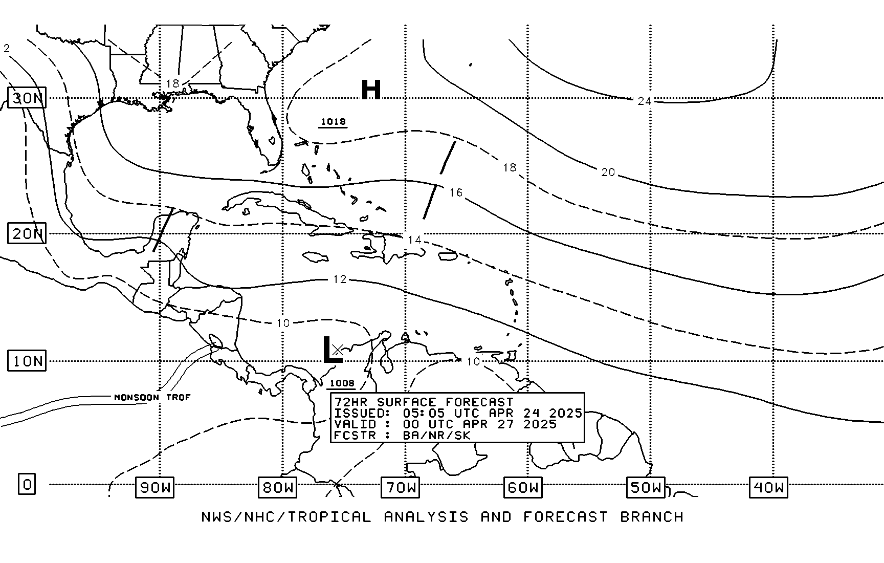
TAFB show a WNW movement. Here is t he location in 72 hours. Looks like it will miss South America.


0 likes
- GeneratorPower
- S2K Supporter

- Posts: 1648
- Age: 44
- Joined: Sun Dec 18, 2005 11:48 pm
- Location: Huntsville, AL
- HouTXmetro
- Category 5

- Posts: 3949
- Joined: Sun Jun 13, 2004 6:00 pm
- Location: District of Columbia, USA
Re: ATL: INVEST 94L East of Windward Islands
canegrl04 wrote:Intial forecast landfalls are usually highly inaccurate. If it become Cristobol,its more likely to make landfall anywhere from the tip of Texas to the East coast
I understand, I just want to get a general idea of how many days away is it from CONUS.
0 likes
- gatorcane
- S2K Supporter

- Posts: 23499
- Age: 46
- Joined: Sun Mar 13, 2005 3:54 pm
- Location: Boca Raton, FL
Re: ATL: INVEST 94L East of Windward Islands
HouTXmetro wrote:canegrl04 wrote:Intial forecast landfalls are usually highly inaccurate. If it become Cristobol,its more likely to make landfall anywhere from the tip of Texas to the East coast
I understand, I just want to get a general idea of how many days away is it from CONUS.
I don't think there is any need to speculate about the CONUS as the CONUS is way upstream at this point and we don't even have a depression yet. In addition the immediate need is to watch the islands of the Caribbean if it even develops.
0 likes
Re: ATL: INVEST 94L East of Windward Islands
HouTXmetro wrote:canegrl04 wrote:Intial forecast landfalls are usually highly inaccurate. If it become Cristobol,its more likely to make landfall anywhere from the tip of Texas to the East coast
I understand, I just want to get a general idea of how many days away is it from CONUS.
this is a very broad and general idea and again really speculating the US is a bad thing to do with something like this, but a general idea would be between 9 and 12 days from any possible US landfall, that is again should it develop, but still a broad general idea
0 likes
- cajungal
- Category 5

- Posts: 2204
- Age: 47
- Joined: Sun Mar 14, 2004 9:34 pm
- Location: Schriever, Louisiana (60 miles southwest of New Orleans)
Re: ATL: INVEST 94L East of Windward Islands
yes, guys I am still alive. lol. just barely post during the off season. but I am excited to be back and ready to start tracking invest 94.
0 likes
Who is online
Users browsing this forum: No registered users and 2 guests


