gatorcane wrote::uarrow:
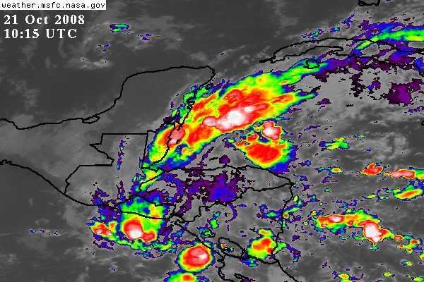
Good analyis but have you seen the last IR pics coming in from the past hour? See my post above yours. I also see it finally starting to gain some lattitude albeit it should still move ashore the Yucatan ultimately.
I don't see any increased organization, gatorcane. Just a disorganized mess of storms with a broad, weak area of low pressure and winds 5-15 kts in the region. 00Z models continue to forecast max winds over the next 5 days of 31 kts or less. Chances of this becoming Paloma appear to be quite low, and chances of a significant system hitting Florida look low given the extreme wind shear across the eastern Gulf later this week.