NHC_ATCF
invest_ep922009.invest
FSTDA
R
U
040
010
0000
200906161147
NONE
NOTIFY=ATRP
END
INVEST, EP, E, , , , , 92, 2009, DB, O, 2009061612, 9999999999, , , , , , METWATCH, , EP922009
EP, 92, 2009061612, , BEST, 0, 144N, 1045W, 25, 0, DB
ABPZ20 KNHC 161137
TWOEP
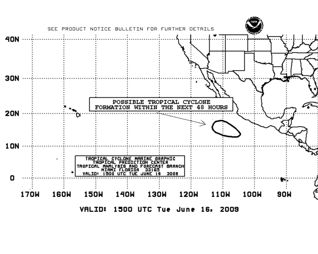
TROPICAL WEATHER OUTLOOK
NWS TPC/NATIONAL HURRICANE CENTER MIAMI FL
500 AM PDT TUE JUN 16 2009
FOR THE EASTERN NORTH PACIFIC...EAST OF 140 DEGREES WEST LONGITUDE..
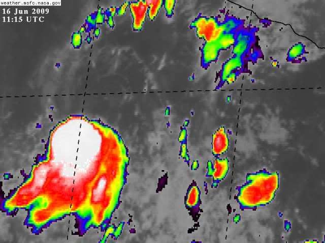
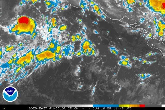
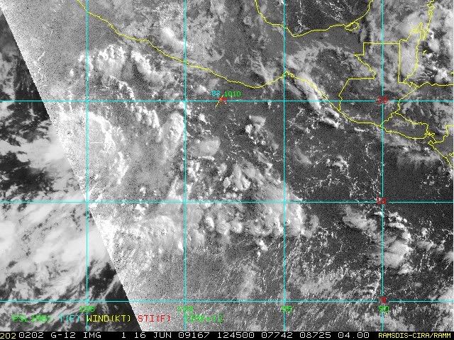
AN AREA OF LOW PRESSURE LOCATED SEVERAL HUNDRED MILES SOUTH OF
MANZANILLO MEXICO IS ACCOMPANIED BY DISORGANIZED SHOWERS AND
THUNDERSTORMS. SOME DEVELOPMENT OF THIS SYSTEM IS POSSIBLE AS IT
MOVES SLOWLY WEST-NORTHWESTWARD OVER THE NEXT DAY OR TWO.
THERE IS A MEDIUM CHANCE...30 TO 50 PERCENT...OF THIS SYSTEM
BECOMING A TROPICAL CYCLONE DURING THE NEXT 48 HOURS.
ELSEWHERE...TROPICAL CYCLONE FORMATION IS NOT EXPECTED DURING THE
NEXT 48 HOURS.
$$
FORECASTER PASCH/KIMBERLAIN