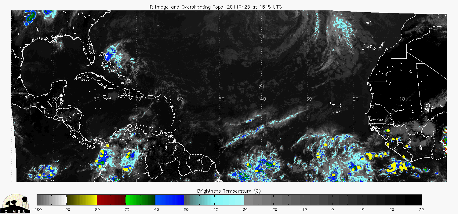
ATL: LISA - Ex-Hurricane - Discussion
Moderator: S2k Moderators
-
- S2K Supporter
- Posts: 37143
- Age: 35
- Joined: Sun May 16, 2004 10:30 pm
- Location: Tulsa Oklahoma
- Contact:
Re: ATL: INVEST 94L - Discussion
No Change.
TROPICAL WEATHER OUTLOOK
NWS TPC/NATIONAL HURRICANE CENTER MIAMI FL
200 PM EDT MON SEP 20 2010
FOR THE NORTH ATLANTIC...CARIBBEAN SEA AND THE GULF OF MEXICO...
THE NATIONAL HURRICANE CENTER IS ISSUING ADVISORIES ON HURRICANE
IGOR...LOCATED ABOUT 350 MILES NORTH-NORTHEAST OF BERMUDA...AND HAS
ISSUED THE LAST ADVISORY ON JULIA...WHICH LOST TROPICAL
CHARACTERISTICS ABOUT 1100 MILES WEST OF THE AZORES.
AN AREA OF LOW PRESSURE LOCATED ABOUT 450 MILES WEST OF THE CAPE
VERDE ISLANDS CONTINUES TO SHOW SIGNS OF ORGANIZATION...AND
CONDITIONS ARE CURRENTLY FAVORABLE FOR SOME ADDITIONAL DEVELOPMENT
AS THE SYSTEM MOVES SLOWLY NORTHWESTWARD. THERE IS A HIGH
CHANCE...80 PERCENT...OF THIS SYSTEM BECOMING A TROPICAL
CYCLONE DURING THE NEXT 48 HOURS.
ELSEWHERE...TROPICAL CYCLONE FORMATION IS NOT EXPECTED DURING THE
NEXT 48 HOURS.
$$
FORECASTER FRANKLIN
0 likes
#neversummer
- HURAKAN
- Professional-Met
- Posts: 46086
- Age: 37
- Joined: Thu May 20, 2004 4:34 pm
- Location: Key West, FL
- Contact:
Link - http://www.ssd.noaa.gov/goes/flt/t2/flash-rgb.html
I guess they're expecting the LLC to become even more organized
0 likes
Re:
HURAKAN wrote:Link - http://www.ssd.noaa.gov/goes/flt/t2/flash-rgb.html
I guess they're expecting the LLC to become even more organized
Looks like overshooting tops really picked up quickly in the last few frames of that loop.
Also see it on the image here:
0 likes
Re:
HURAKAN wrote:Link - http://www.ssd.noaa.gov/goes/flt/t2/flash-rgb.html
I guess they're expecting the LLC to become even more organized
Looks like overshooting tops really picked up quickly in the last few frames of that loop.
Also see it on the image here:
0 likes
- cycloneye
- Admin
- Posts: 139593
- Age: 67
- Joined: Thu Oct 10, 2002 10:54 am
- Location: San Juan, Puerto Rico
Re: ATL: INVEST 94L - Discussion
Looks like no upgrade at 5 PM but you never know what will happen in a couple of hours.
AL, 94, 2010092018, , BEST, 0, 163N, 320W, 25, 1008, DB
0 likes
Visit the Caribbean-Central America Weather Thread where you can find at first post web cams,radars
and observations from Caribbean basin members Click Here
Re:
HURAKAN wrote:Link - http://www.ssd.noaa.gov/goes/flt/t2/flash-rgb.html
I guess they're expecting the LLC to become even more organized
To my untrained eye, this looks close to being a minimal TS. upgraded later this evening maybe.
0 likes
Re: Re:
rog wrote:HURAKAN wrote:Link - http://www.ssd.noaa.gov/goes/flt/t2/flash-rgb.html
I guess they're expecting the LLC to become even more organized
To my untrained eye, this looks close to being a minimal TS. upgraded later this evening maybe.
The 20-knt wind-field north of the LLC is a typical feature of a TD.
0 likes
- HURAKAN
- Professional-Met
- Posts: 46086
- Age: 37
- Joined: Thu May 20, 2004 4:34 pm
- Location: Key West, FL
- Contact:
Re:
superfly wrote:Not upgraded because the LLC is still poorly defined and looks to have multiple vortices on visible sat.
That didn't hold them back from upgrading Igor. Funny how things work.
0 likes
Re: ATL: INVEST 94L - Discussion
UL winds appear to have improved since this morning.
Looks like there is more radial outflow in all directions as opposed to this morning when there was about a 10-knot UL wind blowing SW to NE exposing the LLC.
0 likes
Who is online
Users browsing this forum: No registered users and 13 guests