
Higher resolution loop (but only east side)
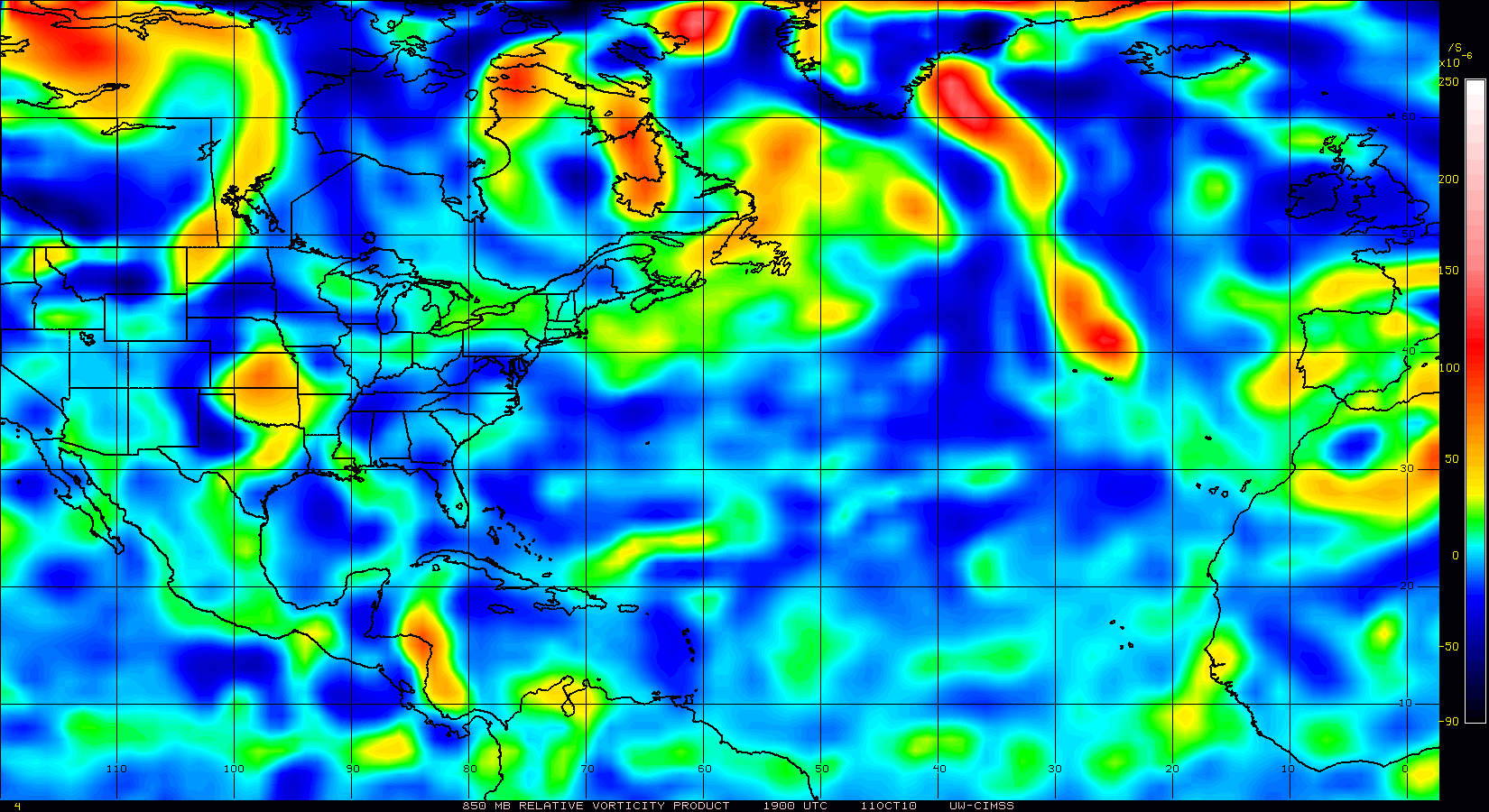
I noticed what seems a small vortex NE of the blob.
Probably just temporary turbulence from thunderstorms .

Moderator: S2k Moderators


johngaltfla wrote:HURAKAN wrote:ConvergenceZone wrote:long trackers are the best!
It will be interesting to see if this is Colon
I don't know about Colon, but maybe Colin!!!
Thank you for clearing the Colon thing up.
Well, here we go again gang. I was shocked to have 2 already but if we have 3 by August 1st, wow. Shades of 2005 all over again. And it doesn't look to be in that bad of a position to make most of the trip and intensify.
Nimbus wrote:Judging from the early models they are expecting a TUTT to pull 90l north. That would be great if it got taken out by wind shear like Bonnie did.
Its hard to say where this area will roll up and decouple from the ITCZ. The Sooner it spins up the more time it will have effected by the deeper steering of the TUTT. Might be a fish but we often see early model runs that are too far right with the track.


KWT wrote:That wave is way behind this feature, this system really is going to have to stop for a few days if that wave is to catch it up, possible I suppose given this is mainly ITCZ energy at the moment flaring up...
The ECM on its 12z run suggests shear increases to the north of the Caribbean past 144hrs as a ULL drops slowly SW through the Central Atlantic FWIW.


Users browsing this forum: No registered users and 6 guests


