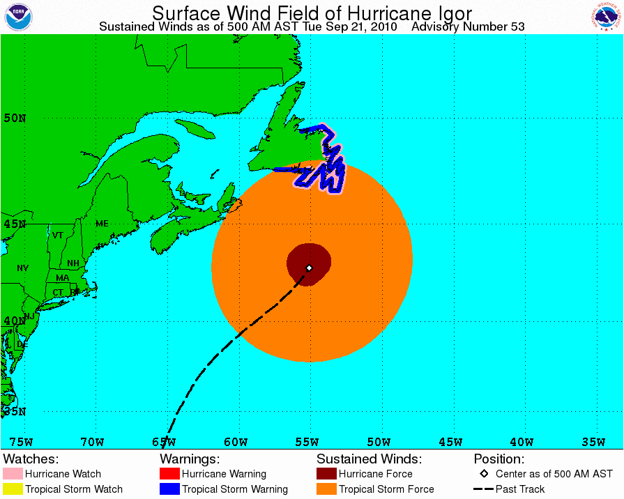
JahJa wrote:Guys, im glad to say that we survived! I went out and had look this morning but i forgot my camera. There wasnt really much to see except alot of trees and a few electricity poles down. Some people told me there was some damage to the causeway but no way near as much as when we saw fabian. The most strikng thing i noticed is that when I went to the beach on the south shore it was about 8ft lower that what it was before the storm! I really couldnt believe how much sand was taken away. I'll be going back out later so i'll be sure to grab a few pics. I was one of the lucky ones that didnt lose power last night but everyone appears to be ok. Just very minor damage. Really guys, thanks for your concerns.
so glad to see you check in Jahja and know you are ok! I will look forward to your pictures.
Giving a big sigh of relief here. Now to hear how plasticups family faired. He did mention last night their home is tucked safely away there, so from the sounds of it they are hopefully ok as well.