ATL: EDOUARD - Post-Tropical - Discussion

Moderator: S2k Moderators

Message
Author
User avatar
blp
Category 5
Category 5
Posts: 2807
Age: 45
Joined: Thu Sep 09, 2004 7:51 pm
Location: Miami, FL
Contact:

Re:

#21 Postby blp » Sun Sep 07, 2014 10:06 am

Hammy wrote:Another storm fails the poof test by the looks of it.


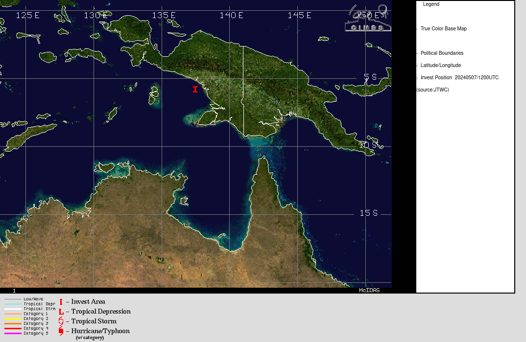
It is too early to be talking poof, it is very common for convection to collapse once it leaves the land and transistions to being supported by the water environment. We need to see how it rebounds just like 90l that came back. Unlike 90l though model support is strong for it to survive. I still think the models are over doing it a bit on intensity. It won't ramp up that quick IMO because it will be a larger system that will take its time to consolidate while dealing with less than conducive environment.
0 likes   
The following post is NOT an official forecast and should not be used as such. It is just the opinion of the poster and may or may not be backed by sound meteorological data. It is NOT endorsed by any professional institution including storm2k.org For Official Information please refer to the NHC and NWS products.

User avatar
TropicalAnalystwx13
Category 5
Category 5
Posts: 2109
Age: 26
Joined: Tue Jul 19, 2011 8:20 pm
Location: Wilmington, NC
Contact:

#22 Postby TropicalAnalystwx13 » Sun Sep 07, 2014 10:58 am

The environment is favorable for slow development of 91L over the next 4 days or so; after that time, dry air will begin to encroach on the system. Shear looks favorable throughout the period.

I could see this becoming a short-lived tropical storm as it slides south of the Cape Verde Islands.
0 likes   

User avatar
TheStormExpert
Category 5
Category 5
Posts: 8487
Age: 30
Joined: Wed Feb 16, 2011 5:38 pm
Location: Palm Beach Gardens, FL

#23 Postby TheStormExpert » Sun Sep 07, 2014 12:19 pm

I predict the NHC will lower 91L's chances to 20/50% in the 2pm TWO. May even see lower than that if model trends continue.
0 likes   
The following post is NOT an official forecast and should not be used as such. It is just the opinion of the poster and may or may not be backed by sound meteorological data. It is NOT endorsed by storm2k.org.

User avatar
cycloneye
Admin
Admin
Posts: 139329
Age: 67
Joined: Thu Oct 10, 2002 10:54 am
Location: San Juan, Puerto Rico

Re: ATL: INVEST 91L - Discussion

#24 Postby cycloneye » Sun Sep 07, 2014 12:36 pm

1. A large area of cloudiness and disorganized thunderstorms located
over the far eastern Atlantic is associated with a strong tropical
wave. Environmental conditions are expected to be conducive for
gradual development of this disturbance during the next several days
while it moves westward or west-northwestward at about 15 mph.
* Formation chance through 48 hours...medium...30 percent.
* Formation chance through 5 days...high...60 percent.


0 likes   
Visit the Caribbean-Central America Weather Thread where you can find at first post web cams,radars
and observations from Caribbean basin members Click Here

User avatar
gatorcane
S2K Supporter
S2K Supporter
Posts: 23499
Age: 46
Joined: Sun Mar 13, 2005 3:54 pm
Location: Boca Raton, FL

#25 Postby gatorcane » Sun Sep 07, 2014 12:47 pm

Latest saved VIS image, not looking too bad - look at all the dust just to the north:
Image
0 likes   

User avatar
SFLcane
S2K Supporter
S2K Supporter
Posts: 9617
Age: 46
Joined: Sat Jun 05, 2010 1:44 pm
Location: Lake Worth Florida

Re: ATL: INVEST 91L - Discussion

#26 Postby SFLcane » Sun Sep 07, 2014 1:36 pm

Image
0 likes   

User avatar
cycloneye
Admin
Admin
Posts: 139329
Age: 67
Joined: Thu Oct 10, 2002 10:54 am
Location: San Juan, Puerto Rico

Re: ATL: INVEST 91L - Discussion

#27 Postby cycloneye » Sun Sep 07, 2014 1:40 pm

18z Best Track:

AL, 91, 2014090718, , BEST, 0, 91N, 171W, 25, 1009, DB
0 likes   
Visit the Caribbean-Central America Weather Thread where you can find at first post web cams,radars
and observations from Caribbean basin members Click Here

User avatar
TheStormExpert
Category 5
Category 5
Posts: 8487
Age: 30
Joined: Wed Feb 16, 2011 5:38 pm
Location: Palm Beach Gardens, FL

Re: ATL: INVEST 91L - Discussion

#28 Postby TheStormExpert » Sun Sep 07, 2014 1:43 pm

SFLcane wrote:http://tropic.ssec.wisc.edu/real-time/temp/tccapture.gif

Uncle SAL looks mighty hungry! :lol:
0 likes   
The following post is NOT an official forecast and should not be used as such. It is just the opinion of the poster and may or may not be backed by sound meteorological data. It is NOT endorsed by storm2k.org.

User avatar
Batt2fd
Tropical Low
Tropical Low
Posts: 27
Joined: Thu Sep 02, 2010 11:24 am
Contact:

Re: ATL: INVEST 91L - Discussion

#29 Postby Batt2fd » Sun Sep 07, 2014 3:32 pm

Image
Image
Image
0 likes   

User avatar
Nimbus
Category 5
Category 5
Posts: 4928
Joined: Mon Jul 19, 2004 10:54 am

Re: ATL: INVEST 91L - Discussion

#30 Postby Nimbus » Sun Sep 07, 2014 4:18 pm

The last official position was 17.1W so they must have that kind of precision this early.
The models all send the circulation WNW above 15N with possibly more SAL exposure.

I was looking at that noon hot tower near ~ 22 W and thinking any LLC might roll west from there and stay closer to the ITCZ.

Loos about 19W now should be clearer by the time it crosses 30W.
0 likes   

User avatar
cycloneye
Admin
Admin
Posts: 139329
Age: 67
Joined: Thu Oct 10, 2002 10:54 am
Location: San Juan, Puerto Rico

Re: ATL: INVEST 91L - Discussion

#31 Postby cycloneye » Sun Sep 07, 2014 6:33 pm

A tropical wave is producing a large area of cloudiness and
disorganized thunderstorms over the far eastern Atlantic just off
the west coast of Africa. Environmental conditions are expected to
be conducive for gradual development of this disturbance during the
next several days while it moves westward or west-northwestward at
about 15 mph.
* Formation chance through 48 hours...medium...30 percent.
* Formation chance through 5 days...high...60 percent.
0 likes   
Visit the Caribbean-Central America Weather Thread where you can find at first post web cams,radars
and observations from Caribbean basin members Click Here

User avatar
cycloneye
Admin
Admin
Posts: 139329
Age: 67
Joined: Thu Oct 10, 2002 10:54 am
Location: San Juan, Puerto Rico

Re: ATL: INVEST 91L - Discussion

#32 Postby cycloneye » Sun Sep 07, 2014 7:50 pm

00z Best Track:

AL, 91, 2014090800, , BEST, 0, 92N, 185W, 25, 1009, DB
0 likes   
Visit the Caribbean-Central America Weather Thread where you can find at first post web cams,radars
and observations from Caribbean basin members Click Here

User avatar
gatorcane
S2K Supporter
S2K Supporter
Posts: 23499
Age: 46
Joined: Sun Mar 13, 2005 3:54 pm
Location: Boca Raton, FL

#33 Postby gatorcane » Sun Sep 07, 2014 8:01 pm

Latest saved image, convection building a little NW of the "best track" location:

Image
0 likes   

floridasun78
Category 5
Category 5
Posts: 3755
Joined: Sun May 17, 2009 10:16 pm
Location: miami fl

Re: ATL: INVEST 91L - Discussion

#34 Postby floridasun78 » Sun Sep 07, 2014 8:12 pm

i dont think we will td out 91l because going same area that kill 90l
0 likes   

User avatar
WPBWeather
S2K Supporter
S2K Supporter
Posts: 535
Age: 65
Joined: Thu Jul 18, 2013 12:33 pm

Re: ATL: INVEST 91L - Discussion

#35 Postby WPBWeather » Sun Sep 07, 2014 8:15 pm

floridasun78 wrote:i dont think we will td out 91l because going same area that kill 90l


Don't say never. "Uncle SAL" may not be so bad after all, as the LEADING probability shows more moisture ahead.

http://www.ssd.noaa.gov/PS/TROP/TCFP/atlantic.html (see 24-48 hour chart).
0 likes   

User avatar
Hammy
Category 5
Category 5
Posts: 5594
Age: 40
Joined: Fri May 25, 2012 5:25 pm
Contact:

#36 Postby Hammy » Sun Sep 07, 2014 9:28 pm

Instability is still below normal and shear is still above normal in much of the Atlantic, including where 91L is headed, based on those graphics. Doesn't paint a very favorable picture in the short term.
0 likes   
The above post is not official and should not be used as such. It is the opinion of the poster and may or may not be backed by sound meteorological data. It is not endorsed by any professional institution or storm2k.org. For official information, please refer to the NHC and NWS products.

tolakram
Admin
Admin
Posts: 19171
Age: 60
Joined: Sun Aug 27, 2006 8:23 pm
Location: Florence, KY (name is Mark)

Re: ATL: INVEST 91L - Discussion

#37 Postby tolakram » Sun Sep 07, 2014 10:13 pm

Conditions are better than when 90L left the coast.

Flash Loop of Mid level water vapor: http://tropic.ssec.wisc.edu/real-time/sal/wvmid/movies/wvmid5.html

Live 60 frame loop: http://rammb.cira.colostate.edu/ramsdis/online/loop_meteosat.asp?data_folder=tropical/tropical_met_4km_visir2_floater&width=640&height=480&number_of_images_to_display=60

At this point in 90L's life the GFS had already reduced it to nothing, so that is different as well.

Does this mean things WILL actually be different? /shrug :D
0 likes   
M a r k
- - - - -
Join us in chat: Storm2K Chatroom Invite. Android and IOS apps also available.

The posts in this forum are NOT official forecasts and should not be used as such. Posts are NOT endorsed by any professional institution or STORM2K.org. For official information and forecasts, please refer to NHC and NWS products.

User avatar
Gustywind
Category 5
Category 5
Posts: 12334
Joined: Mon Sep 03, 2007 7:29 am
Location: Baie-Mahault, GUADELOUPE

#38 Postby Gustywind » Sun Sep 07, 2014 10:21 pm

TROPICAL WEATHER DISCUSSION
NWS NATIONAL HURRICANE CENTER MIAMI FL
805 PM EDT SUN SEP 07 2014

TROPICAL WEATHER DISCUSSION FOR NORTH AMERICA...CENTRAL
AMERICA...GULF OF MEXICO...CARIBBEAN SEA...NORTHERN SECTIONS OF
SOUTH AMERICA...AND ATLANTIC OCEAN TO THE AFRICAN COAST FROM THE
EQUATOR TO 32N. THE FOLLOWING INFORMATION IS BASED ON SATELLITE
IMAGERY...WEATHER OBSERVATIONS...RADAR...AND METEOROLOGICAL
ANALYSIS.

BASED ON 1800 UTC SURFACE ANALYSIS AND SATELLITE IMAGERY THROUGH
2345 UTC.

...SPECIAL FEATURES...

A TROPICAL WAVE ASSOCIATED WITH A 1009 MB LOW IS OVER THE FAR
EASTERN ATLC. ITS AXIS EXTENDS FROM 18N17W TO THE LOW CENTER
NEAR 9N17W FORECAST TO MOVE WESTWARD AT 15 KT WITHIN THE NEXT 24
HOURS. THE WAVE IS ASSOCIATED WITH HIGH MOISTURE IN THE MIDDLE
TO LOWER LEVELS AS DEPICTED IN SSMI TPW IMAGERY SHOW WITH
PATCHES OF HIGH MOISTURE REACHING THE MIDDLE TO UPPER LEVELS
OBSERVED IN WATER VAPOR IMAGERY. CYCLONIC RAINBANDS OF SCATTERED
MODERATE CONVECTION AND ISOLATED TSTMS ARE FROM 5N-14N E OF
23W...BEING SUPPORTED BY THE AFOREMENTIONED MOISTURE AND UPPER-
LEVEL DIFFLUENCE. THERE IS A MEDIUM CHANCE OF TROPICAL CYCLONE
FORMATION ASSOCIATED WITH THIS SYSTEM WITHIN THE NEXT TWO DAYS.
SEE LATEST NHC TROPICAL WEATHER OUTLOOK UNDER AWIPS/WMO HEADERS
MIATWOAT/ABNT20 KNHC FOR MORE DETAILS.
0 likes   

User avatar
Gustywind
Category 5
Category 5
Posts: 12334
Joined: Mon Sep 03, 2007 7:29 am
Location: Baie-Mahault, GUADELOUPE

#39 Postby Gustywind » Sun Sep 07, 2014 10:23 pm

TROPICAL WEATHER DISCUSSION
NWS NATIONAL HURRICANE CENTER MIAMI FL
805 PM EDT SUN SEP 07 2014

...SPECIAL FEATURES...

A TROPICAL WAVE ASSOCIATED WITH A 1009 MB LOW IS OVER THE FAR
EASTERN ATLC. ITS AXIS EXTENDS FROM 18N17W TO THE LOW CENTER
NEAR 9N17W FORECAST TO MOVE WESTWARD AT 15 KT WITHIN THE NEXT 24
HOURS. THE WAVE IS ASSOCIATED WITH HIGH MOISTURE IN THE MIDDLE
TO LOWER LEVELS AS DEPICTED IN SSMI TPW IMAGERY SHOW WITH
PATCHES OF HIGH MOISTURE REACHING THE MIDDLE TO UPPER LEVELS
OBSERVED IN WATER VAPOR IMAGERY. CYCLONIC RAINBANDS OF SCATTERED
MODERATE CONVECTION AND ISOLATED TSTMS ARE FROM 5N-14N E OF
23W...BEING SUPPORTED BY THE AFOREMENTIONED MOISTURE AND UPPER-
LEVEL DIFFLUENCE. THERE IS A MEDIUM CHANCE OF TROPICAL CYCLONE
FORMATION ASSOCIATED WITH THIS SYSTEM WITHIN THE NEXT TWO DAYS.
SEE LATEST NHC TROPICAL WEATHER OUTLOOK UNDER AWIPS/WMO HEADERS
MIATWOAT/ABNT20 KNHC FOR MORE DETAILS.
0 likes   

YoshiMike
Tropical Storm
Tropical Storm
Posts: 106
Age: 28
Joined: Wed Aug 27, 2014 9:18 pm
Location: Hattiesburg, MS
Contact:

Re: ATL: INVEST 91L - Discussion

#40 Postby YoshiMike » Sun Sep 07, 2014 10:41 pm

look at that rotation startin to go!
0 likes   
Okay guys, just because I want to BE a meteorologist, want to go to school for meteorology, DOES NOT MAKE ME A METEOROLOGIST. Anything I say about tropical weather is either me learning something new, or is just an opinion and nothing more than that. I can almost guarantee you that I will be wrong about pretty much everything.


Return to “2014”

Who is online

Users browsing this forum: No registered users and 14 guests