ATL: EDOUARD - Models
Moderator: S2k Moderators

Is it possible that the Euro is showing it stronger suddenly because it has a better handle on it now that there is something relatively organized now?
0 likes
The above post is not official and should not be used as such. It is the opinion of the poster and may or may not be backed by sound meteorological data. It is not endorsed by any professional institution or storm2k.org. For official information, please refer to the NHC and NWS products.


Re: ATL: INVEST 91L - Models
00z models

0 likes
The following post is NOT an official forecast and should not be used as such. It is just the opinion of the poster and may or may not be backed by sound meteorological data. It is NOT endorsed by any professional institution including storm2k.org For Official Information please refer to the NHC and NWS products.


Euro develops it around day five, is this fairly realistic by now considering it's north of 20 by that point?
0 likes
The above post is not official and should not be used as such. It is the opinion of the poster and may or may not be backed by sound meteorological data. It is not endorsed by any professional institution or storm2k.org. For official information, please refer to the NHC and NWS products.
-
Blown Away

- S2K Supporter

- Posts: 9863
- Joined: Wed May 26, 2004 6:17 am
Re: ATL: INVEST 91L - Models

12z...

12z...
0 likes
Hurricane Eye Experience: David 79, Irene 99, Frances 04, Jeanne 04, Wilma 05...
Hurricane Brush Experience: Andrew 92, Erin 95, Floyd 99, Matthew 16, Irma 17, Ian 22, Nicole 22…
Hurricane Brush Experience: Andrew 92, Erin 95, Floyd 99, Matthew 16, Irma 17, Ian 22, Nicole 22…
In my opinion, the models have utterly failed with this, and it shows that when it comes to it, the Euro is just as horrible as the GFS prior to there actually being a developed system, because the last run showed a Cat 3 and the latest run does not even develop it. And the lack of model consistency tells me that the chances of this actually becoming anything are very likely less than 50/50.
0 likes
The above post is not official and should not be used as such. It is the opinion of the poster and may or may not be backed by sound meteorological data. It is not endorsed by any professional institution or storm2k.org. For official information, please refer to the NHC and NWS products.
-
gatorcane

- S2K Supporter
- Posts: 23499
- Age: 46
- Joined: Sun Mar 13, 2005 3:54 pm
- Location: Boca Raton, FL
Re:
Hammy wrote:In my opinion, the models have utterly failed with this, and it shows that when it comes to it, the Euro is just as horrible as the GFS prior to there actually being a developed system, because the last run showed a Cat 3 and the latest run does not even develop it. And the lack of model consistency tells me that the chances of this actually becoming anything are very likely less than 50/50.
Agreed this wave is making our sophisticated models look very pathetic if you ask me. Another thing that is interesting when I look at this invest tonight is that it seems to have elongated into a trough and there is a pretty good voriticity on the SW side with increasing convection and even some spin noted when I look at the floater. Who knows, maybe the SW end of this trough heads west and develops as there is less SAL there? If so the models have failed even more.
0 likes
-
StormTracker

- S2K Supporter
- Posts: 2902
- Age: 57
- Joined: Thu Jun 29, 2006 6:06 am
- Location: Quail Heights(Redlands), FL.
Re: ATL: INVEST 91L - Models
Sounds about right to me, hence why the models seemed to be so confused(AGAIN)!!!
0 likes
Something's wrong when you regret, things that haven't happened yet!
-
Hurricaneman

- Category 5

- Posts: 7282
- Age: 43
- Joined: Tue Aug 31, 2004 3:24 pm
- Location: central florida
Re: Re:
gatorcane wrote:Hammy wrote:In my opinion, the models have utterly failed with this, and it shows that when it comes to it, the Euro is just as horrible as the GFS prior to there actually being a developed system, because the last run showed a Cat 3 and the latest run does not even develop it. And the lack of model consistency tells me that the chances of this actually becoming anything are very likely less than 50/50.
Agreed this wave is making our sophisticated models look very pathetic if you ask me. Another thing that is interesting when I look at this invest tonight is that it seems to have elongated into a trough and there is a pretty good voriticity on the SW side with increasing convection and even some spin noted when I look at the floater. Who knows, maybe the SW end of this trough heads west and develops as there is less SAL there? If so the models have failed even more.
Thats my worry here is that if it forms farther SW then we might have to watch it in the Lesser Antilles as there might be a greater chance of not getting picked up by the weakness in time but as of now no model predicts that so either the models are correct and this goes out to sea or this ends up in the model embarrassment area
The posts in this forum are NOT official forecast and should not be used as such. They are just the opinion of the poster and may or may not be backed by sound meteorological data. They are NOT endorsed by any professional institution or storm2k.org. For official information, please refer to the NHC and NWS products
0 likes
Re: ATL: EDOUARD - Models
Euro is out to 72 hours and continues to weaken Edouard, so no change in the model thinking so far.
edit: still dissipates on day 6.
edit: still dissipates on day 6.
0 likes
The above post is not official and should not be used as such. It is the opinion of the poster and may or may not be backed by sound meteorological data. It is not endorsed by any professional institution or storm2k.org. For official information, please refer to the NHC and NWS products.
-
tolakram
- Admin

- Posts: 19165
- Age: 60
- Joined: Sun Aug 27, 2006 8:23 pm
- Location: Florence, KY (name is Mark)
Re: ATL: EDOUARD - Models
All about the timing. If it was just a little slower the upper level winds would be ventilating the storm, which I think is what the GFS assumes and the solution the euro had days ago when it showed a hurricane.
0 likes
M a r k
- - - - -
Join us in chat: Storm2K Chatroom Invite. Android and IOS apps also available.
The posts in this forum are NOT official forecasts and should not be used as such. Posts are NOT endorsed by any professional institution or STORM2K.org. For official information and forecasts, please refer to NHC and NWS products.
-
tolakram
- Admin
- Posts: 19165
- Age: 60
- Joined: Sun Aug 27, 2006 8:23 pm
- Location: Florence, KY (name is Mark)
Re: ATL: EDOUARD - Models
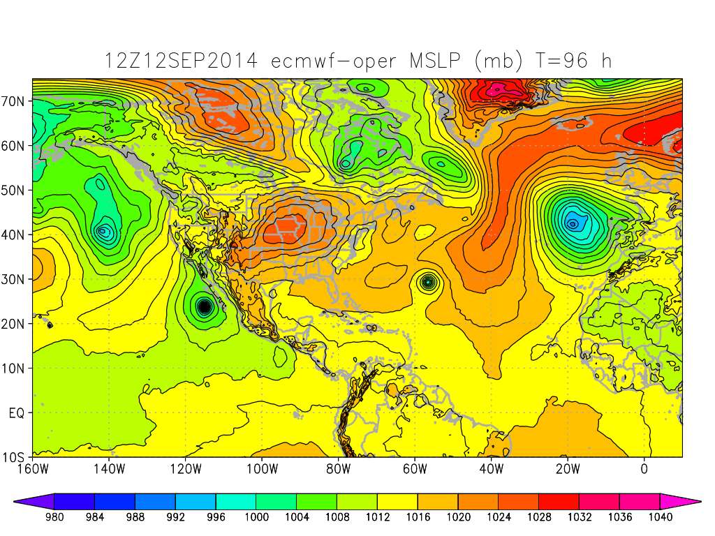
And now the 12Z euro likes the hurricane idea again.
0 likes
M a r k
- - - - -
Join us in chat: Storm2K Chatroom Invite. Android and IOS apps also available.
The posts in this forum are NOT official forecasts and should not be used as such. Posts are NOT endorsed by any professional institution or STORM2K.org. For official information and forecasts, please refer to NHC and NWS products.
- - - - -
Join us in chat: Storm2K Chatroom Invite. Android and IOS apps also available.
The posts in this forum are NOT official forecasts and should not be used as such. Posts are NOT endorsed by any professional institution or STORM2K.org. For official information and forecasts, please refer to NHC and NWS products.
Euro now goes to Cat 3 in 120 hours, how realistic is this possibility?
0 likes
The above post is not official and should not be used as such. It is the opinion of the poster and may or may not be backed by sound meteorological data. It is not endorsed by any professional institution or storm2k.org. For official information, please refer to the NHC and NWS products.
Euro showing 112kts at 850mb in 48 hours (which I assume translates to 100kts at surface) yet GFS which tends to overdevelop everything only takes it to 70kts as the maximum
0 likes
The above post is not official and should not be used as such. It is the opinion of the poster and may or may not be backed by sound meteorological data. It is not endorsed by any professional institution or storm2k.org. For official information, please refer to the NHC and NWS products.
Who is online
Users browsing this forum: No registered users and 56 guests