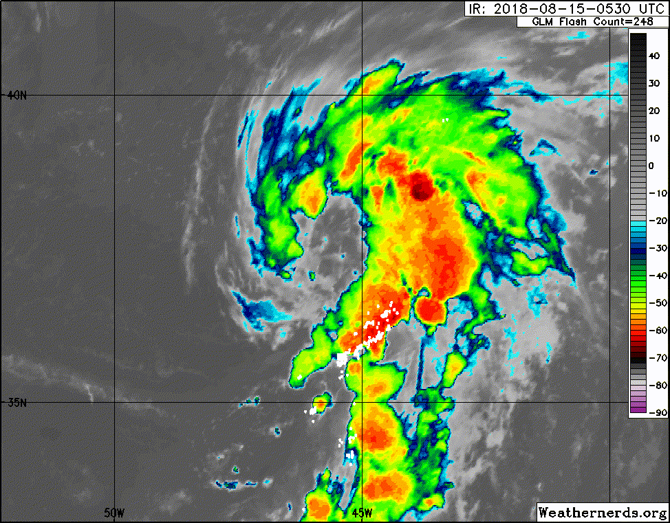
Yellow Evan wrote:You wouldn't guess based on the activity in this thread but this has a good chance at becoming Ernesto based on latest trends.
I've largely been quiet on this thread because nobody else is posting, ironic as that is.
Moderator: S2k Moderators
Yellow Evan wrote:You wouldn't guess based on the activity in this thread but this has a good chance at becoming Ernesto based on latest trends.


Ntxw wrote:CyclonicFury wrote:Yellow Evan wrote:You wouldn't guess based on the activity in this thread but this has a good chance at becoming Ernesto based on latest trends.
I do think it has a good shot at being Ernesto. For some reason these subtropical systems don't draw nearly as much attention as a deep tropics system would. It's really weird that we could see yet another subtropical storm in the Atlantic, in August too (a month which is mostly deep tropics development).
I would not be surprised either if we got Ernesto out of it.
In general the Atlantic folks (not all but many) aren't really into the satellite watching of systems in the middle of nowhere unless it's going to effect someone's backyard. That's when you get the most activity. STS or even tropical converts that gets caught up in the westerlies and leaves off generally do not spark the general poster's interests. The weather nerds that likes to watch storms in the middle of nowhere are on the Pacific side generally


OuterBanker wrote:Whoever thought that the new MDR would be north of 35?


MississippiWx wrote:I know it’s not a popular opinion, but I happen to believe these systems are interesting. It’s rather fun watching them evolve from a cold-core low to a tropical low.

Users browsing this forum: No registered users and 15 guests