ATL: LORENZO - Models
Moderator: S2k Moderators
- Nancy Smar
- Category 5

- Posts: 1081
- Age: 23
- Joined: Wed Aug 16, 2017 10:03 pm
ATL: LORENZO - Models
Only model runs here
Last edited by Nancy Smar on Mon Sep 23, 2019 8:48 am, edited 2 times in total.
1 likes
- CyclonicFury
- Category 5

- Posts: 1975
- Age: 25
- Joined: Sun Jul 02, 2017 12:32 pm
- Location: NC
- Contact:
Re: ATL: INVEST 90L - Models
Nice environment.
* ATLANTIC 2019 SHIPS INTENSITY FORECAST *
* IR SAT DATA AVAILABLE, OHC AVAILABLE *
* INVEST AL902019 09/22/19 00 UTC *
TIME (HR) 0 6 12 18 24 36 48 60 72 84 96 108 120
V (KT) NO LAND 20 23 26 30 34 45 52 64 74 79 83 89 90
V (KT) LAND 20 23 26 30 34 45 52 64 74 79 83 89 90
V (KT) LGEM 20 21 22 24 26 32 37 42 48 55 63 71 75
Storm Type TROP TROP TROP TROP TROP TROP TROP TROP TROP TROP TROP TROP TROP
SHEAR (KT) 11 7 3 2 5 9 10 9 6 6 6 7 8
SHEAR ADJ (KT) 1 0 1 3 7 6 8 6 4 7 1 -1 2
SHEAR DIR 56 38 327 287 281 312 290 330 339 19 154 206 217
SST (C) 28.7 28.3 28.3 28.7 28.2 28.2 28.4 28.1 27.8 27.4 27.3 27.5 27.3
POT. INT. (KT) 149 143 143 148 141 141 144 140 135 129 128 131 128
ADJ. POT. INT. 149 143 143 148 141 141 144 140 134 127 123 126 122
200 MB T (C) -53.3 -53.7 -53.7 -53.4 -53.8 -53.6 -53.7 -53.9 -53.8 -53.8 -53.7 -54.1 -53.8
200 MB VXT (C) 0.0 0.0 0.1 0.1 0.1 0.1 0.2 0.3 0.2 0.3 0.4 0.5 0.5
TH_E DEV (C) 6 5 6 6 5 5 6 6 5 5 5 5 6
700-500 MB RH 73 79 78 79 79 76 73 73 71 69 71 71 70
MODEL VTX (KT) 8 8 9 9 11 15 16 20 23 23 24 26 26
850 MB ENV VOR 1 5 12 16 23 43 56 61 72 59 57 53 44
200 MB DIV 38 27 41 71 98 141 137 170 121 35 50 52 40
700-850 TADV 1 2 3 0 -4 -8 -10 -11 -6 -8 -4 6 4
LAND (KM) 63 190 265 382 518 818 1110 1387 1646 1892 1919 1819 1804
LAT (DEG N) 10.5 10.5 10.5 10.6 10.7 10.9 11.3 12.0 12.7 13.4 14.0 15.0 16.4
LONG(DEG W) 15.5 17.0 18.5 19.9 21.3 24.2 27.1 30.0 32.6 35.0 36.9 38.9 40.6
STM SPEED (KT) 15 15 14 14 14 14 15 14 13 11 10 11 10
HEAT CONTENT 13 8 7 10 7 8 12 14 15 11 11 23 13
3 likes
NCSU B.S. in Meteorology Class of 2021. Tropical weather blogger at http://www.cyclonicfury.com. My forecasts and thoughts are NOT official, for official forecasts please consult the National Hurricane Center.
Re: ATL: INVEST 90L - Models
I've got no idea why everyone's still even counting the Continental U.S. and Caribbean with these models coming out.


3 likes
Re: ATL: THIRTEEN - Models

0 likes
Very useful information on the Dvorak Technique --
https://severe.worldweather.wmo.int/TCF ... kBeven.pdf
https://severe.worldweather.wmo.int/TCF ... kBeven.pdf
-
hurricaneCW
- Category 5

- Posts: 1773
- Joined: Wed Mar 03, 2010 6:20 am
- Location: Toms River, NJ
Re: ATL: THIRTEEN - Models
Euro almost gets future Lorenzo under the ridge but the weakness wins out, however further west trends wouldn't surprise me as the ridge keeps shifting further east.
4 likes
Re: ATL: INVEST 90L - Models
Abdullah wrote:I've got no idea why everyone's still even counting the Continental U.S. and Caribbean with these models coming out.
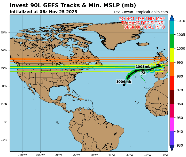
https://www.tropicaltidbits.com/storminfo/90L_gefs_latest.png
Because we are 120 hours out from the turn happening, go read the Florence models from last year, same disbelief, don't write these storms off. What happens if Jerry fails apart and doesn't weaken the ridge? There are quite a few liberties the models are taking and all of these storms matter for the ultimate track.
5 likes
Re: ATL: LORENZO - Models
.SHIPS Prob RI for 20kt/ 12hr RI threshold= 7% is 1.4 times climatological mean ( 5.2%)
SHIPS Prob RI for 25kt/ 24hr RI threshold= 40% is 3.7 times climatological mean (10.9%)
SHIPS Prob RI for 30kt/ 24hr RI threshold= 26% is 3.8 times climatological mean ( 6.9%)
SHIPS Prob RI for 35kt/ 24hr RI threshold= 12% is 2.9 times climatological mean ( 3.8%)
SHIPS Prob RI for 40kt/ 24hr RI threshold= 10% is 4.8 times climatological mean ( 2.4%)
SHIPS Prob RI for 45kt/ 36hr RI threshold= 16% is 3.5 times climatological mean ( 4.5%)
SHIPS Prob RI for 55kt/ 48hr RI threshold= 23% is 4.9 times climatological mean ( 4.6%)
SHIPS Prob RI for 65kt/ 72hr RI threshold= 46% is 8.5 times climatological mean ( 5.4%)
0 likes
Very useful information on the Dvorak Technique --
https://severe.worldweather.wmo.int/TCF ... kBeven.pdf
https://severe.worldweather.wmo.int/TCF ... kBeven.pdf
Re: ATL: INVEST 90L - Models
ava_ati wrote:Abdullah wrote:I've got no idea why everyone's still even counting the Continental U.S. and the Caribbean with these models coming out.
https://www.tropicaltidbits.com/storminfo/90L_gefs_latest.png
Because we are 120 hours out from the turn happening, go read the Florence models from last year, same disbelief, don't write these storms off. What happens if Jerry fails apart and doesn't weaken the ridge? There are quite a few liberties the models are taking and all of these storms matter for the ultimate track.
I didn't track Florence, but after looking at the Models Forum for Florence, I do have to say, the models do look similar. I'm extremely surprised, honestly!
0 likes
-
jconsor
- Professional-Met

- Posts: 532
- Joined: Mon Jun 30, 2008 9:31 pm
- Location: Jerusalem, Israel
- Contact:
Re: ATL: LORENZO - Models
CTCX (US Navy tropical model based on GFS) makes Lorenzo a borderline cat 4/5 this weekend. Shows shear increasing to 20-30 kt at the same time, however it seems to be counterbalanced by increasing RH aloft and baroclinic support/upper level divergence. You can see its forecasts at https://www.nrlmry.navy.mil/coamps-web/web/tc


6 likes
Re: ATL: LORENZO - Models
BUMP?
Guys, look at the Azores.
and Iceland. They're in real trouble this time...
Guys, look at the Azores.
and Iceland. They're in real trouble this time...
2 likes
Re: ATL: LORENZO - Models
I think its worth noting just how great the models are getting these days. Obviously the track will deviate by quite a bit, but they nailed they idea of this becoming a monster hurricane well before the wave even came off of Africa.
6 likes
-
SconnieCane
- Category 4

- Posts: 913
- Joined: Thu Aug 02, 2018 5:29 pm
- Location: Madison, WI
Re: ATL: LORENZO - Models
tomatkins wrote:I think its worth noting just how great the models are getting these days. Obviously the track will deviate by quite a bit, but they nailed they idea of this becoming a monster hurricane well before the wave even came off of Africa.
Intensity modeling is still pretty hit or miss. Dorian's peak was a big surprise, to a lesser extent Michael's. Alternatively Florence was initially expected to come ashore as a Hugo-like 120kt+ Cat 4. Sometimes shifts in track forecast can impact intensity (once it became clear that it would slow to a crawl and kind of scrape the coast for awhile before pushing inland, the LF intensity backed off).
That said, track forecasting is pretty good. For Michael, it hardly varied from the Panama City to Port St. Joe area almost from genesis, aside from a few early runs that depicted some chance of a sharper E curve into the western FL peninsula; and it was pretty clear from early in Florence's life cycle that it had a high probability to impact the CONUS despite a climatologically unfavorable position for it, with only a small window to turn OTS (which it missed, of course).
There are still uncertainties and shifts (for example the transition from the early consensus on Dorian crossing Florida and entering the GOM, to the new one of a stalling Bahamas crusher/OBX to Atlantic Canada scraper); but that's why it's called a forecast not a guarantee.
1 likes
Who is online
Users browsing this forum: No registered users and 76 guests


