

toad strangler wrote:NDG wrote:Stormcenter wrote:To put any weight on what the models are predicting
after Laura and other storms this season is extremely
risky and unwise. I would be very careful with this one.
IMO
Don't forget Hanna.
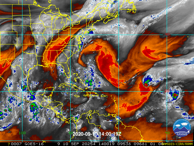
Meteorologicaly it does not make any sense that with such a great environment and very warm SSTs it will only stay as a TW or TD.
If enough time over water I really will not doubt it becoming a hurricane before making landfall somewhere in the north central GOM, in my amateur opinion.
Hanna moved over the widest part of the GOM. 96L is not that. The reason I am putting stock in the models here is because given the expected track, there won't be much time. Obviously if this tracks further west than what models (GFS & Euro) are showing, all bets are off.
I disagree with you, with 72 hrs over the GOM, based on the latest GFS's vorticity forecast it is more than plenty of time for it to become a hurricane, don't forget that with Hanna it was fighting shear when it entered the GOM.
Edit: I just looked over the archives for Hanna, like I mentioned it entered the GOM on the 21st of July as a weak vorticity fighting southerly shear, well removed west of the deep convetion, it did not become a TD until late at night on the 22nd almost in the middle of the GOM by then and within 68 hrs it became a strong Cat 1 hurricane.
96L already looks better organized than Hanna when it was moving through the FL straingts.


