

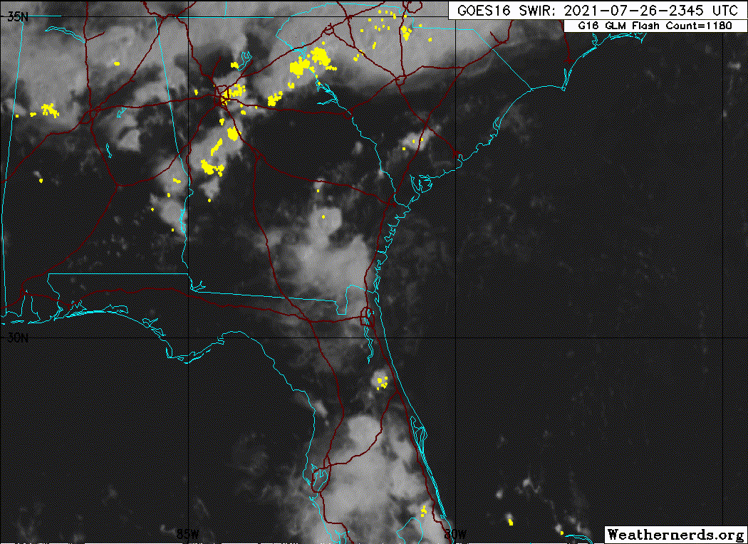
wxman57 wrote:Winds up to 5-10 kts from Jacksonville to Brunswick now as the center (naked swirl) nears. Zero chance this will become a TD:
http://wxman57.com/images/itsdeadjim.jpg
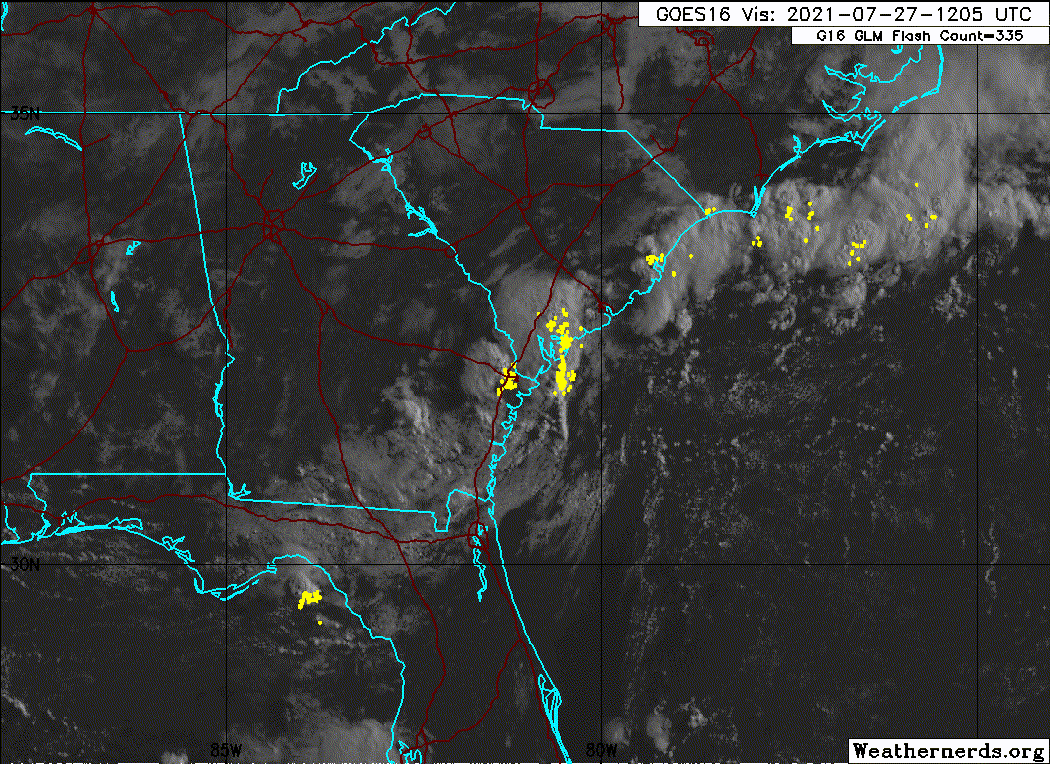
Slowly getting there.
Should be down to 0/0 by the 2 am TWO, but I don't think I'll stay up for that momentous event.
Tropical Weather Outlook
NWS National Hurricane Center Miami FL
800 PM EDT Mon Jul 26 2021
For the North Atlantic...Caribbean Sea and the Gulf of Mexico:
Satellite imagery and radar data indicate that the weak low pressure
system that was earlier just off the southeastern United States
coastline is now moving onshore just north of the border between
Georgia and Florida. Shower and thunderstorm activity associated
with the low remains disorganized and development of this system is
unlikely as the low moves just inland over the Georgia coast
tonight. Locally heavy rainfall remains possible over portions of
the northeastern Florida and Georgia coast though tonight.
* Formation chance through 48 hours...low...10 percent.
* Formation chance through 5 days...low...10 percent.
$$
Forecaster Papin/Brown


