

Sciencerocks wrote:https://imagizer.imageshack.com/img922/8776/tNcE8V.gif
llc BOOKING IT !!
Moderator: S2k Moderators
Sciencerocks wrote:https://imagizer.imageshack.com/img922/8776/tNcE8V.gif


ScottNAtlanta wrote:This just doesn't look to me like it is going to develop anytime soon if at all
ScottNAtlanta wrote:This just doesn't look to me like it is going to develop anytime soon if at all
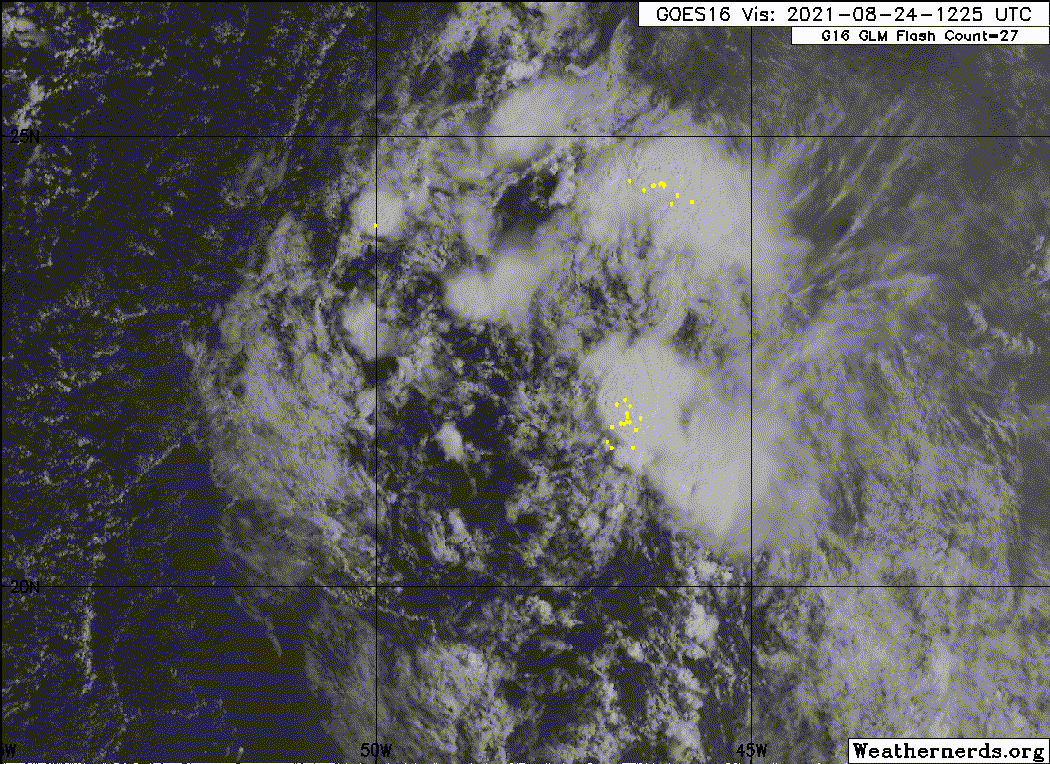
Nancy Smar wrote:2021-08-23 12:00 16.9 -38.0 25
http://rammb-data.cira.colostate.edu/tc_realtime/storm.asp?storm_identifier=al972021

hipshot wrote:Nancy Smar wrote:2021-08-23 12:00 16.9 -38.0 25
http://rammb-data.cira.colostate.edu/tc_realtime/storm.asp?storm_identifier=al972021
Why doesn't the map at the top of this page not have invests assigned to them and when did this designation or whatever change. It is a little
confusing.
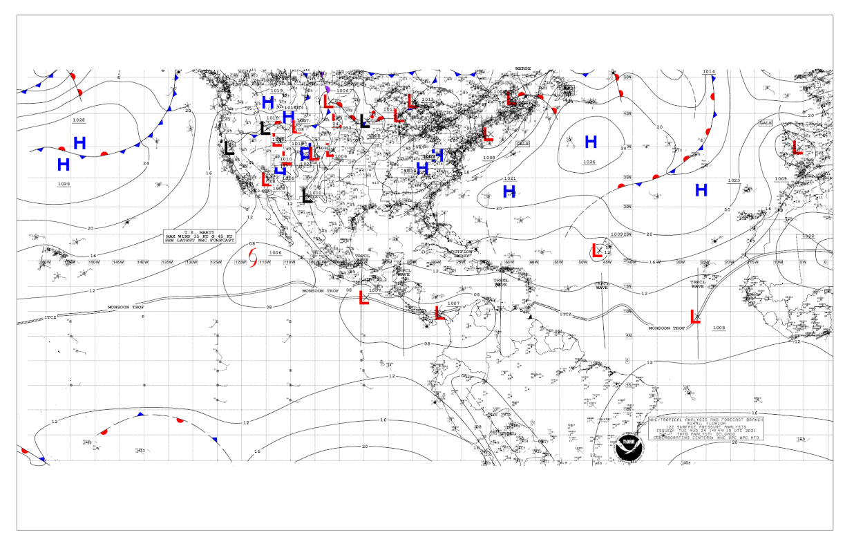
AlphaToOmega wrote:12Z surface analysis shows a closed low. Is this classifiable yet?
https://i.postimg.cc/C16MPJvr/USA-12Z.gif

AlphaToOmega wrote:12Z surface analysis shows a closed low. Is this classifiable yet?
https://i.postimg.cc/C16MPJvr/USA-12Z.gif

Sciencerocks wrote:https://imagizer.imageshack.com/img924/8489/tAoXhG.gif
Users browsing this forum: No registered users and 16 guests


